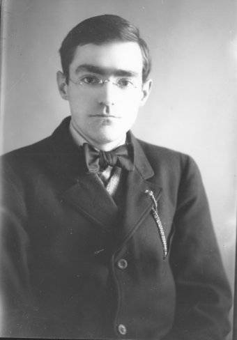
The Oregon Coast is replete with promontory capes, haystack rocks, inlets and coves, and large bays. George Davidson, a geodesist and hydrographer with the United States Coast Survey (today’s National Oceanic and Atmospheric Administration), mapped many of those features and gave them their names. His precise work in astronomy led to greatly improved star maps used by the Coast Survey for celestial navigation. Davidson also wrote the Directory of the Pacific Coast, later known as the Coast Pilot, to help mariners navigate the coastline from Mexico to British Columbia. His expertise in geodesy, astronomy, hydrology, geography, cartography, and magnetism made him one of the most honored Americans of his time.
Born in Nottingham, England, on May 9, 1825, Davidson was seven years old when his family crossed the Atlantic to the United States on the John Wells. They settled in Philadelphia, where George’s acuity in mathematics drew the attention of Alexander Dallas Bache, the principal of Central High School and president of Girard College. Davidson graduated first in his class at Central and entered Girard, where Bache introduced him to magnetism and astronomy and taught him to make night-sky observations at the school’s Magnetic Observatory.
Bache was appointed the Second Superintendent of the U.S. Coast Survey in 1843, and Davidson was hired as his assistant after graduating from Girard. In 1846, he was assigned to the Gulf Coast, where he perfected his skills in geodetics and astronomy under the supervision of Robert Fauntleroy. In 1850, Davidson was one of four men sent to San Francisco to produce an intensive and accurate survey of the West Coast and to determine the geographical positions of prominent features and the optimal locations for lighthouses. His team collected a vast number of observations and measurements from their first hydrographic survey, completed in 1851–1854.
On his own time, Davidson organized and published that information as an addendum to the Coast Survey Annual Report of 1857. The 262-page document was published as the Pacific Coast Pilot in 1858. Written in a descriptive style, the Coast Pilot provided information about ocean currents, fog, winds, landmarks, headlands, points, islands, rocks, and landfall, data that served as an aid to navigation along the coast. Davidson also worked on the surveys completed in 1862, 1869, and 1885.
In 1868, Davidson was promoted to superintendent of the Pacific Coast Survey, a position he held until he was released from duty in 1895. Each survey was different in length, as work was halted when weather or sea conditions were unfavorable or the crew was conducting surveys inland. Each was also dangerous. In rough surf, longboats loaded with equipment sometimes capsized, and crewmen sometimes drowned. Even when the terrain was rugged and inhospitable, the men climbed to the highest points to gather accurate measurements.
Davidson had read the journals and studied the maps of European mariners who had sailed along the coastline, and he had familiarized himself with place-names that had been previously charted. When he saw Natives on shore, he attempted to interact with them, recording the names they called themselves and names of villages and rivers. He included his findings in the Coast Pilot and added the names to revised charts.
As chief cartographer for the surveys, it was often Davidson who gave official name status to Oregon’s coastal features. What is now Cape Kiwanda, Cape Falcon, and Heceta Head, for example, had many names over time, and Davidson selected the names for his charts based on his research. He also resolved misinterpretations. On the 1853 chart, for example, the name Cape Lookout was mistakenly located on a two-mile-long promontory eight miles to the south. Davidson decided to leave the name where it was and renamed the northerly headland Cape Meares after British mariner John Meares.
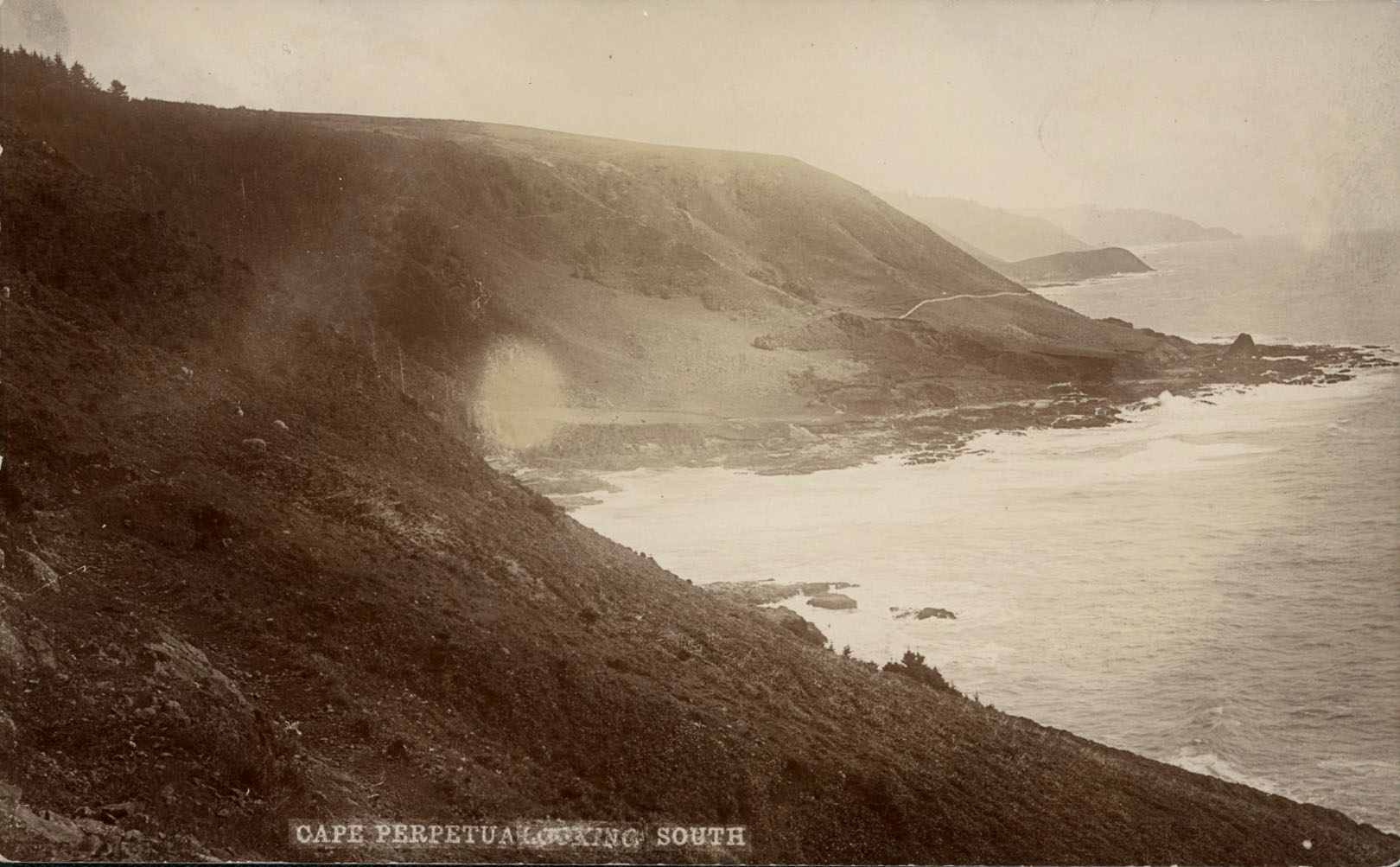
On the southern Oregon Coast, Davidson named Cape Ferrelo for Spanish explorer Bartolomé Ferrelo, although Ferrelo had never sailed that far north from Mexico. While he retained Captain James Cook’s names for Cape Foulweather and Cape Perpetua, he opted for the name Cape Arago over Cape Gregory, a name Cook had assigned to the headland.
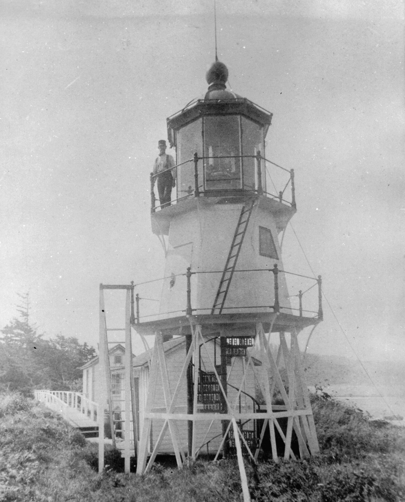
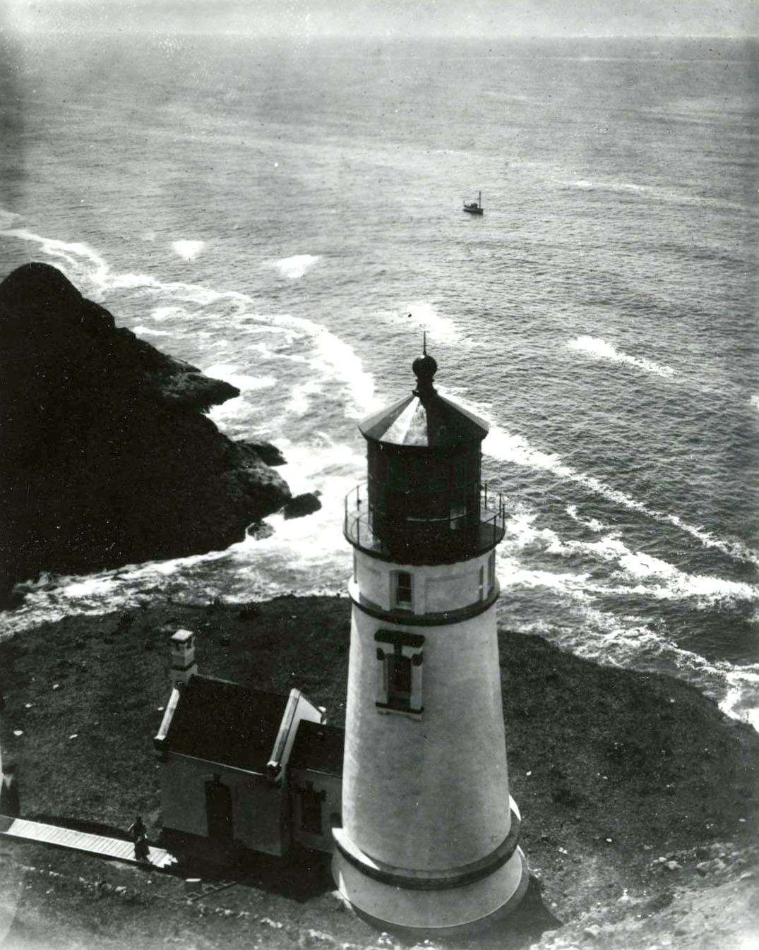
On the 1887 chart, Davidson replaced the name Haystack Point with Cape Kiwanda, a variation of the name of an Alsea headman. Cape Falcon, named by Spanish explorer Bruno de Hezeta y Dudagoitia, was also known as Santa Clara de Monte Falcon, False Tillamook, and False Killamook Head. Davidson put Cape Falcon on his chart and named Heceta Head for the Spaniard. The cape known historically as Cabo Diligensias and Cape Orford was renamed Cape Blanco. Davidson was also responsible for the names of lighthouses whose locations he surveyed: Umpqua River, Cape Blanco, Cape Arago, Heceta Head, Yaquina Bay, and Yaquina Head.
When Davidson retired from the Coast Survey in 1889, he was hired to chair the newly created Department of Geography at the University of California, Berkeley. Often at his own expense, he traveled the world to help solve engineering problems, related to irrigation or tidal hydraulics in harbors, and he wrote almost three hundred books, pamphlets, and papers.
George Davidson died in San Francisco on December 1, 1911. A NOAA ship is named for him, and there are three Mount Davidsons—in San Francisco, near Virginia City, Nevada, and in Alaska. Alaska also has Davidson Mountains, Davidson Inlet, Davidson Bank, and Davidson Glacier. The Davidson Seamount, southwest of Monterey, California, is one of the largest underwater volcanos in the world. The Coast Pilot, now known as the United States Coast Pilot, is still being published.
-
![]()
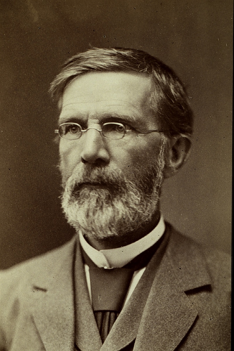
George Davidson, c. 1883.
Courtesy NOAA, B.A. Colonna Album
-
![]()
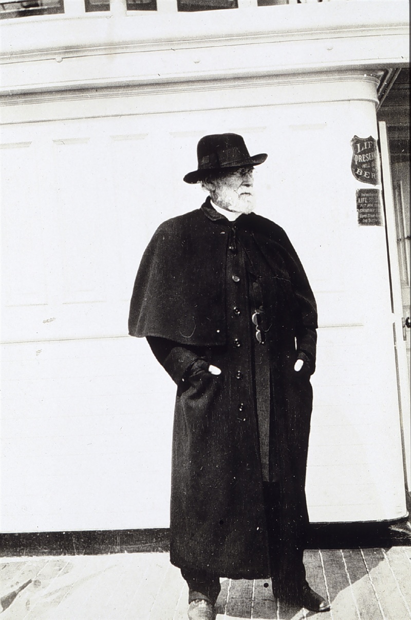
George Davidson.
Courtesy NOAA, B.A. Colonna Album
-
![]()
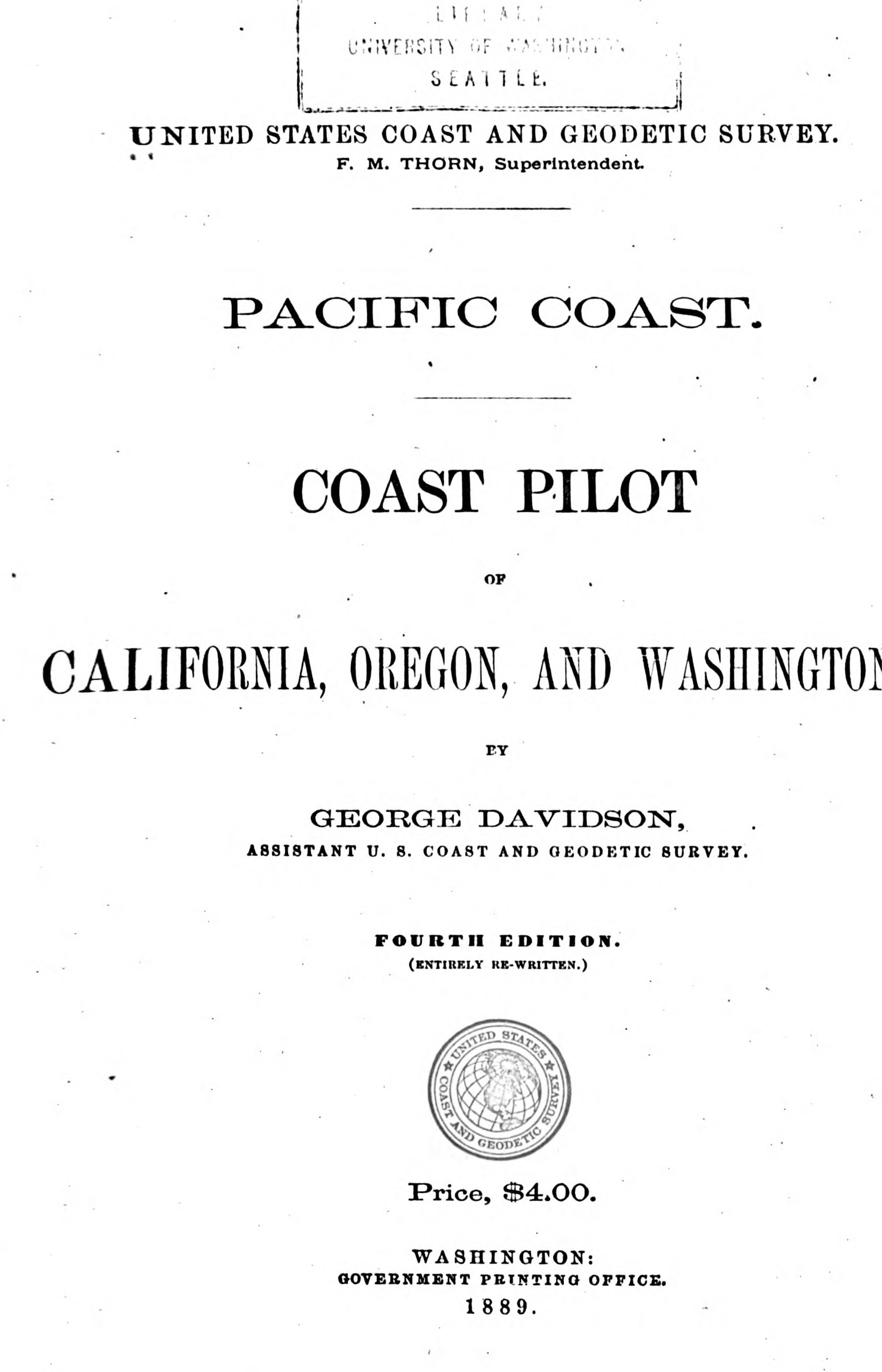
Pacific Coast Pilot, 1889.
Courtesy University of California
-
![]()
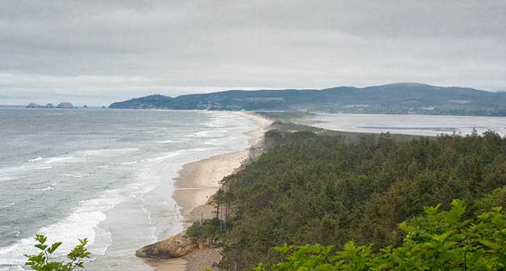
Cape Lookout State Park beach.
Courtesy Oregon State Parks
-
![]()
Cape Perpetua, looking south.
Courtesy Oregon Hist. Soc. Research Lib., Oregon Journal Coll., photo file 947
Related Entries
-
![Cape Arago Lighthouse]()
Cape Arago Lighthouse
The Cape Arago Lighthouse sits on a small island off Cape Arago, south …
-
![Cape Lookout]()
Cape Lookout
Cape Lookout, one of the most prominent landmarks on the Oregon Coast, …
-
![Cape Perpetua]()
Cape Perpetua
Cape Perpetua juts into the Pacific Ocean about two miles south of Yach…
-
![Cartography of Oregon, 1507–1848]()
Cartography of Oregon, 1507–1848
The cartographic history of Oregon as a place in the Pacific Northwest …
-
![Heceta Head Lighthouse]()
Heceta Head Lighthouse
Heceta Head Lighthouse stands 205 feet above the Pacific Ocean on a blu…
-
![Lewis L. McArthur (1917–2018)]()
Lewis L. McArthur (1917–2018)
Lewis L. McArthur believed names allow people to think about their own …
-
![Oregon Land Survey, 1851-1855]()
Oregon Land Survey, 1851-1855
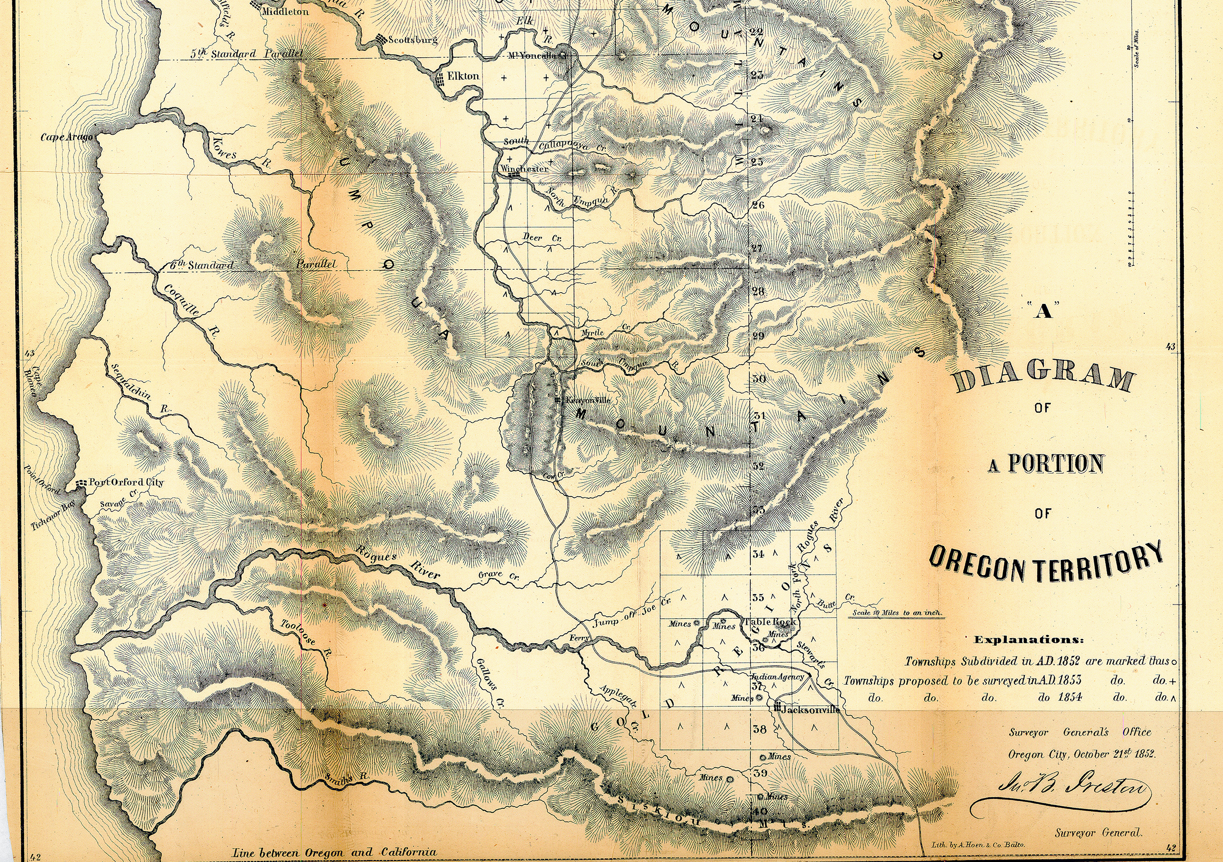
In 1850, President Millard Fillmore appointed John B. Preston as Oregon…
-
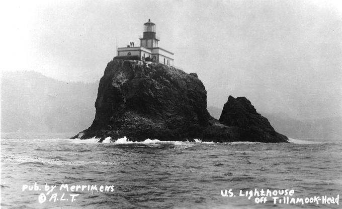
![Tillamook Rock Lighthouse]()
Tillamook Rock Lighthouse
Tillamook Rock Lighthouse sits on a rock a mile offshore of Tillamook H…
Related Historical Records
Map This on the Oregon History WayFinder
The Oregon History Wayfinder is an interactive map that identifies significant places, people, and events in Oregon history.
Further Reading
Barnet, James K. Captain Cook and the North Pacific. Anchorage: Alaska Print Brokers, 2008.
Davidson, George. Coast Pilot, California, Oregon and Washington, Fourth Edition. Washington, D.C.: Government Printing Office, 1889.
Hayes, Derek. Historical Atlas of the Pacific Northwest, Maps of Exploration and Discovery. Vancouver, B.C.: Cavendish Books Inc, 2000.
McArthur, Lewis A., Lewis L. McArthur. Oregon Geographic Names, Seventh Edition. Portland: Oregon Historical Society Press, 2003.