Cape Perpetua juts into the Pacific Ocean about two miles south of Yachats on the central Oregon Coast in Lincoln County. Captain James Cook—who viewed the cape from the sea, but never set foot on it—bestowed its present name on March 7, 1778, to honor Saint Perpetua on her name day. The cape “shoot[s] out into a point” in the ocean, Cook noted, a towering and dramatic basaltic formation from ancient shield volcanoes. Rising to 800 feet above sea level, the steep and densely forested headland plunges to the ocean. At its base, Cape Perpetua has several unusual rock formations that are popular visitor attractions—Thor’s Well, Spouting Horn, and Devil’s Churn. All three consist of eroded natural fissures in the intertidal basalt flows, where waves churn, seethe, and collide, often spectacularly.
The cape has a human history that reaches back thousands of years. It was called Halaqaik in the Alsea language, possibly suggesting an “uncovered place, open place or exposed place.” This is an apt description of the open coastal prairies that covered the headland until Native burning ceased, which allowed for the encroachment of Sitka spruce forest from older stands nearby. Alsea families traditionally hunted and fished and dug for clams and mussels in the intertidal area. An Alsea village was near the base of present-day Cape Perpetua, with other major villages located to the north, near Seal Rock, and along the Alsea River estuary.
The Alsea people of the Cape Perpetua area were dramatically affected by diseases such as smallpox in the early decades of the nineteenth century, but they continued to occupy their traditional lands with relatively little direct EuroAmerican influence through midcentury. Surviving communities became nominally part of the Coast Reservation in 1856, which encompassed Cape Perpetua and adjacent parts of the coast. By 1861, many Alseas, as well as the forcibly removed Coos and Lower Umpqua peoples, were compelled to live at the Alsea Subagency.
The Subagency, created in 1859, was known for its prisonlike conditions, and many people held there died from starvation, disease, and exposure due to inadequate shelter and clothing. Congress eliminated a short-lived Alsea Reservation in 1875 in order to open the region to EuroAmerican homesteading, and many of the reported 118 surviving people living there were removed to the Siletz Reservation. A few continued to live independently in the Cape Perpetua area, and tribal members visited intermittently for traditional purposes.
In 1908, Cape Perpetua became part of the newly created Siuslaw National Forest. By 1914, the U.S. Forest Service had blasted and chiseled a narrow wagon road into the outer cliff of the cape and had built a wooden bridge over the Yachats River, linking the small town of Yachats with Florence to the south. A steel bridge replaced the wooden one in 1926. The dramatic Cape Perpetua section of Highway 101, carved out of the cliffs, was completed in the early 1930s along this same route.
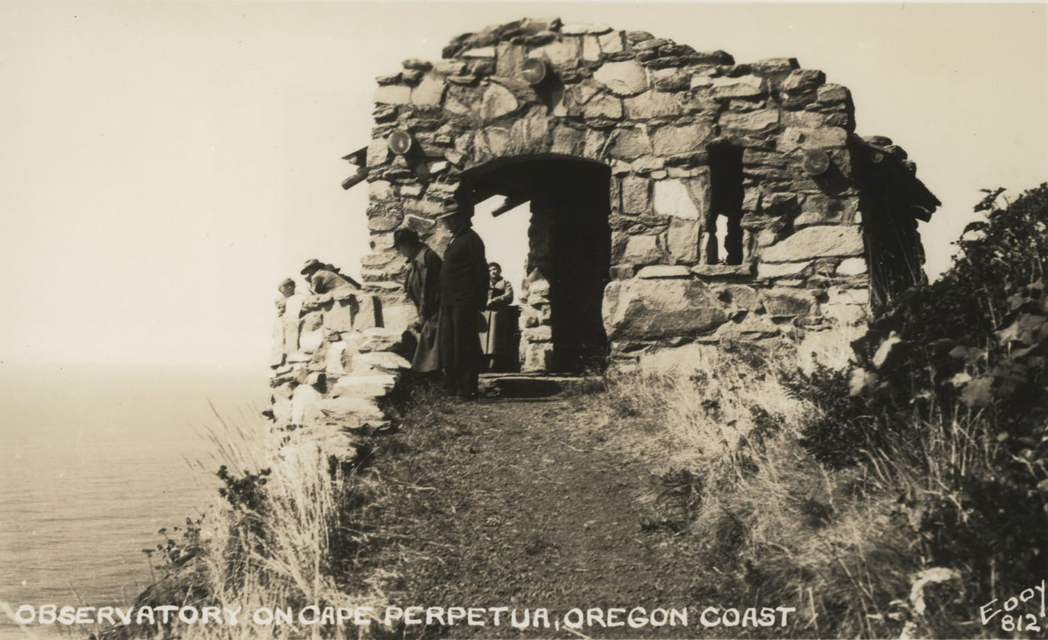
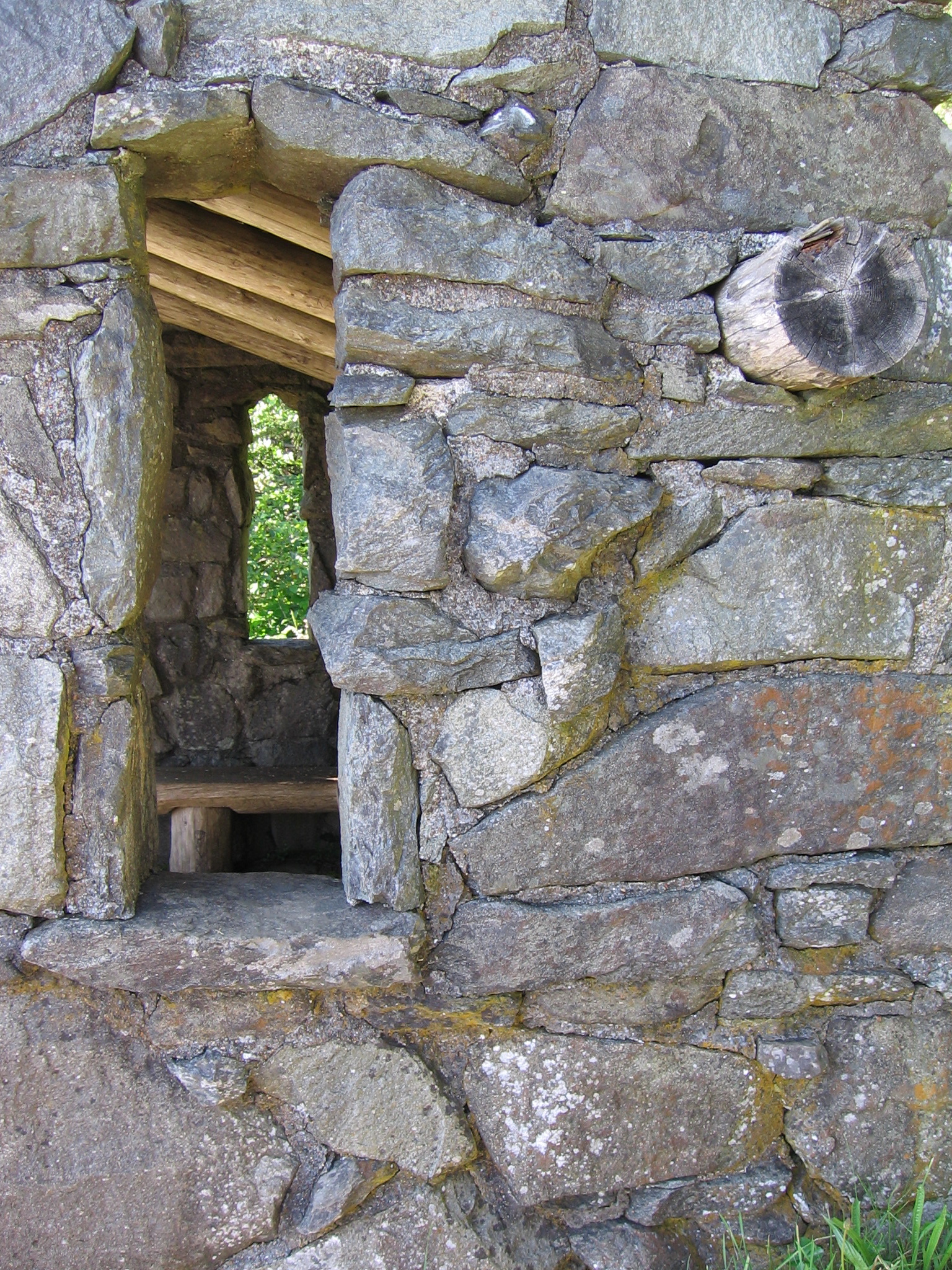
The Civilian Conservation Corps established a camp in 1933 at the foot of Cape Perpetua, north of Cape Creek near the current Visitor Center. The men completed several projects, including the Cape Perpetua campground, a network of trails, and the West Shelter observation point near the top of the cape, as well as stretches of rockwork walls. West Shelter was used as a coastal watch station during World War II, and the military installed a large coastal defense gun as well as a Signal Corps radar facility. The Cape Perpetua Shelter and Parapet were listed on the National Register of Historic Places in 1989, and remnants of other CCC and military structures are still found on the mountain.
The U.S. Forest Service designated a 2,700-acre Cape Perpetua Scenic Area in the 1960s and built the Cape Perpetua Visitor Center to highlight the beauty and ecological uniqueness of the area. The Visitor Center, two miles south of Yachats, has natural history and cultural exhibits, a theater, and a bookstore, as well as trails to the ocean shore. The Scenic Area also has twenty-six miles of hiking trails through old-growth temperate rainforests, including a trail leading to the Silent Sentinel of the Siuslaw, a 600-year old Sitka Spruce. This tree was designated an Oregon Heritage Tree by the State of Oregon in 2007 to protect it and to recognize its exceptional age and size.
Cape Perpetua is popular with visitors, who hike the remnant ancient forests, watch the magnificent explosions of waves through the basalt formations, and peruse exhibits in the Visitors Center.
-
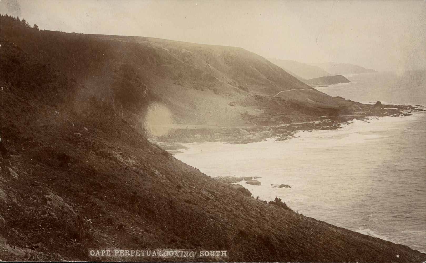
![]()
Cape Perpetua, looking south.
Courtesy Oregon Hist. Soc. Research Lib., Oregon Journal Coll., photo file 947
-
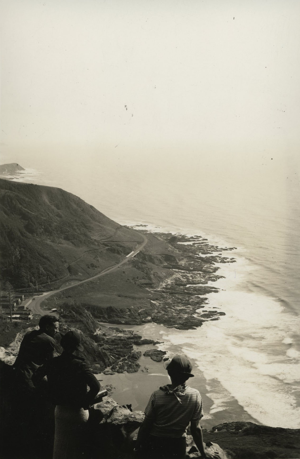
![]()
Cape Perpetua, looking south, 1937.
Courtesy Oregon Hist. Soc. Research Lib., Oregon Journal Coll., photo file 947
-
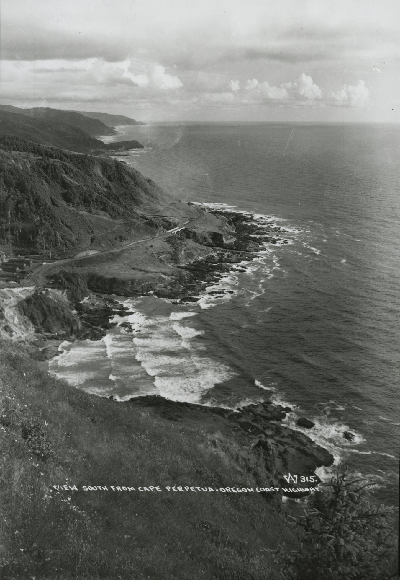
![]()
Cape Perpetua, looking south.
Courtesy Oregon Hist. Soc. Research Lib., photo file 495F
-
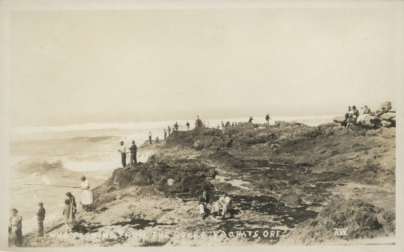
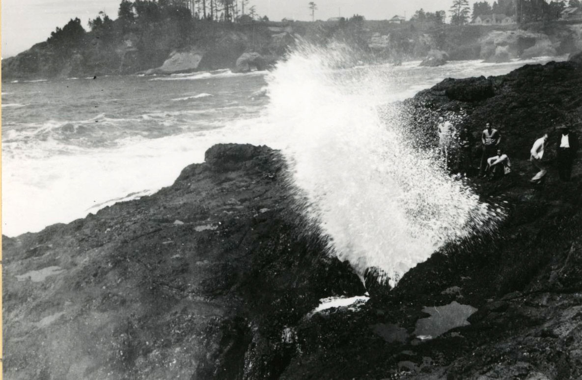
![]()
People along the rocky shore of Yachats.
Courtesy Oregon Hist. Soc. Research Lib., Acc28125, photo file 1139
-
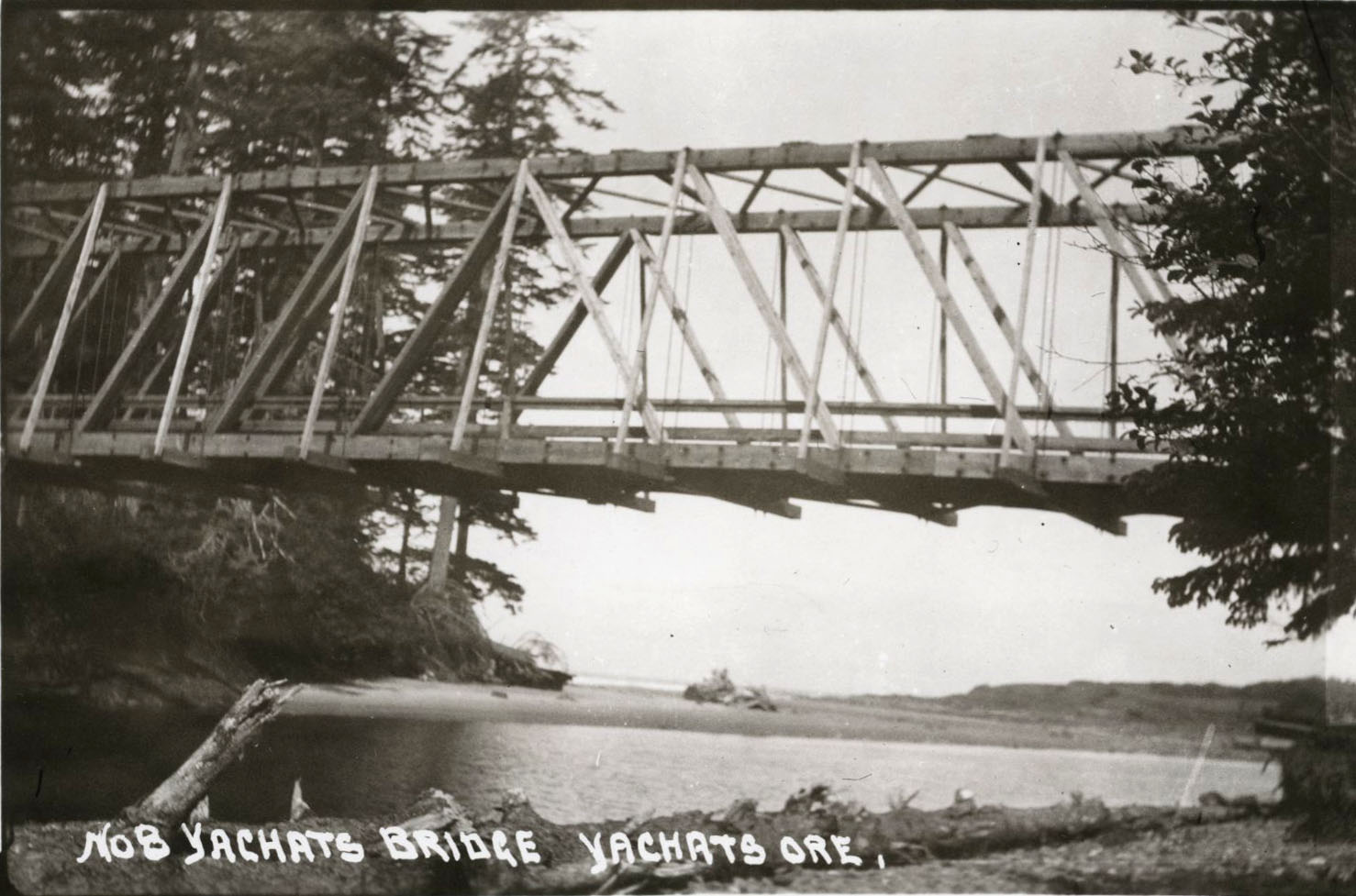
![]()
Wooden Yachats Bridge, c1920.
Courtesy Oregon Hist. Soc. Research Lib., 19006, photo file 1139
-
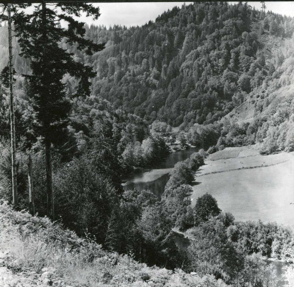
![]()
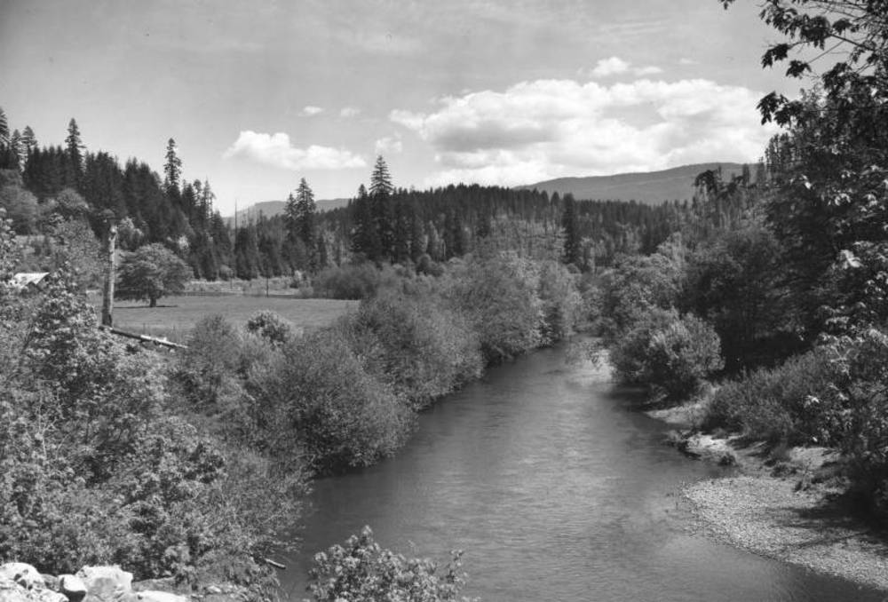
Alsea River, c.1937.
Courtesy Oregon Hist. Soc. Research Lib., Oregon Journal Coll.,007463
-
![]()
Spouting Horn.
Courtesy Oregon Hist. Soc. Research Lib., D.R. Wiggins Coll, Mss1616, 005155
-
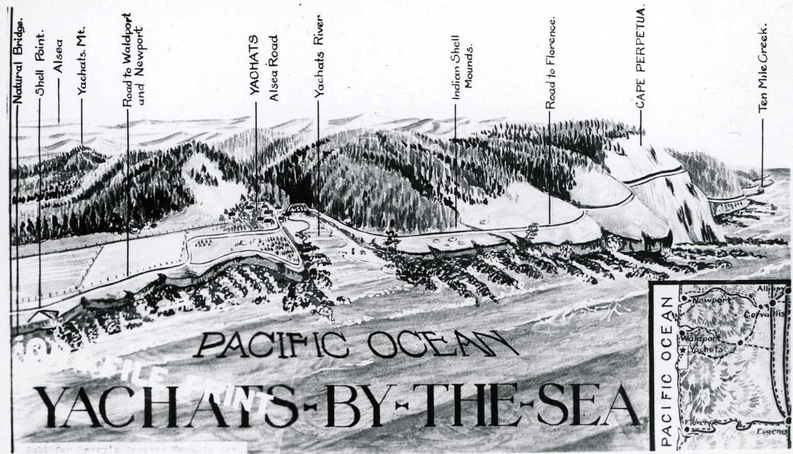
![]()
"Yachats by the Sea" sketch map.
Courtesy Oregon Hist. Soc. Research Lib., 18998, pf 1139
-
![]()
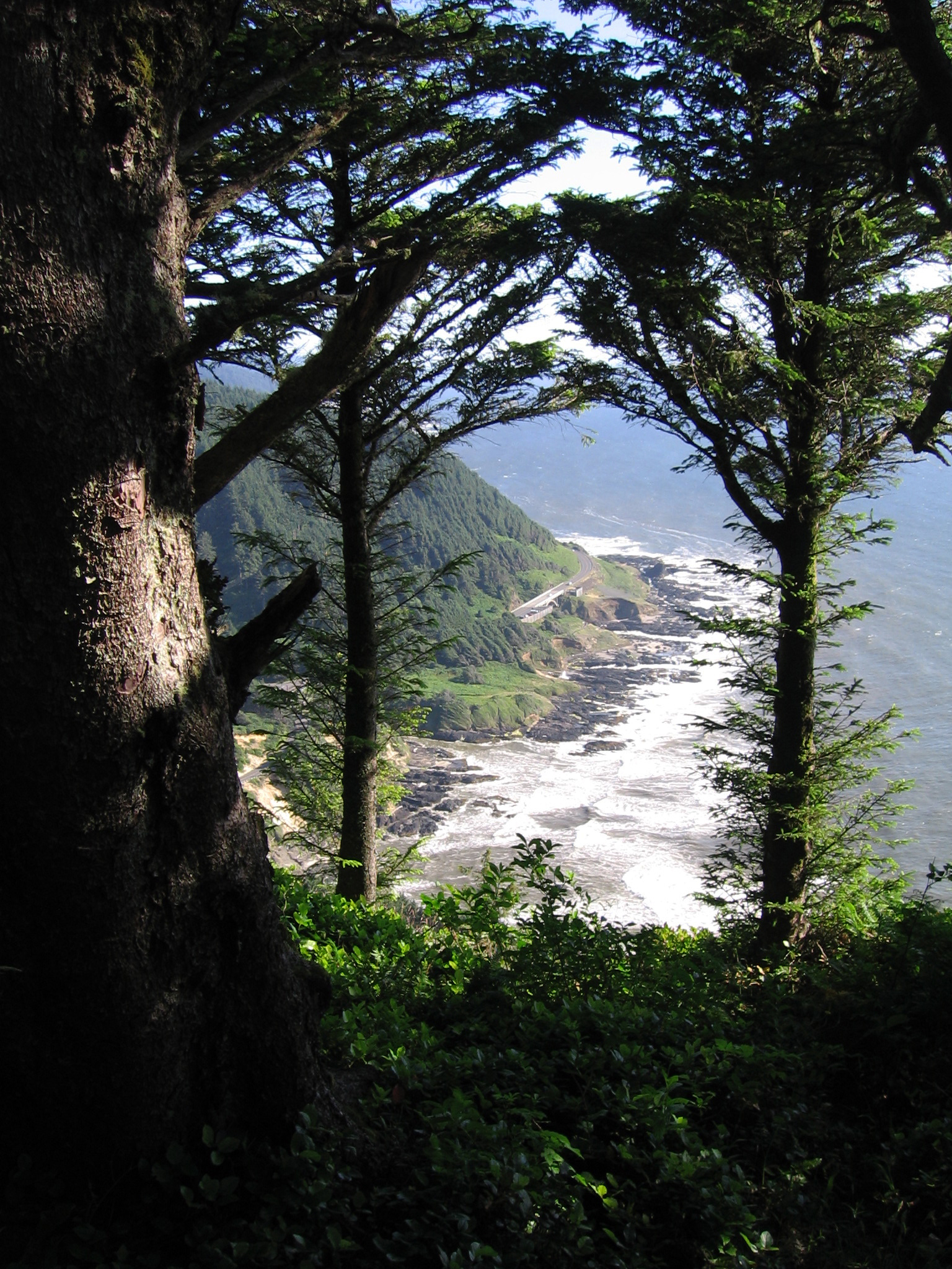
Cape Perpetua, looking south, July 2011.
-
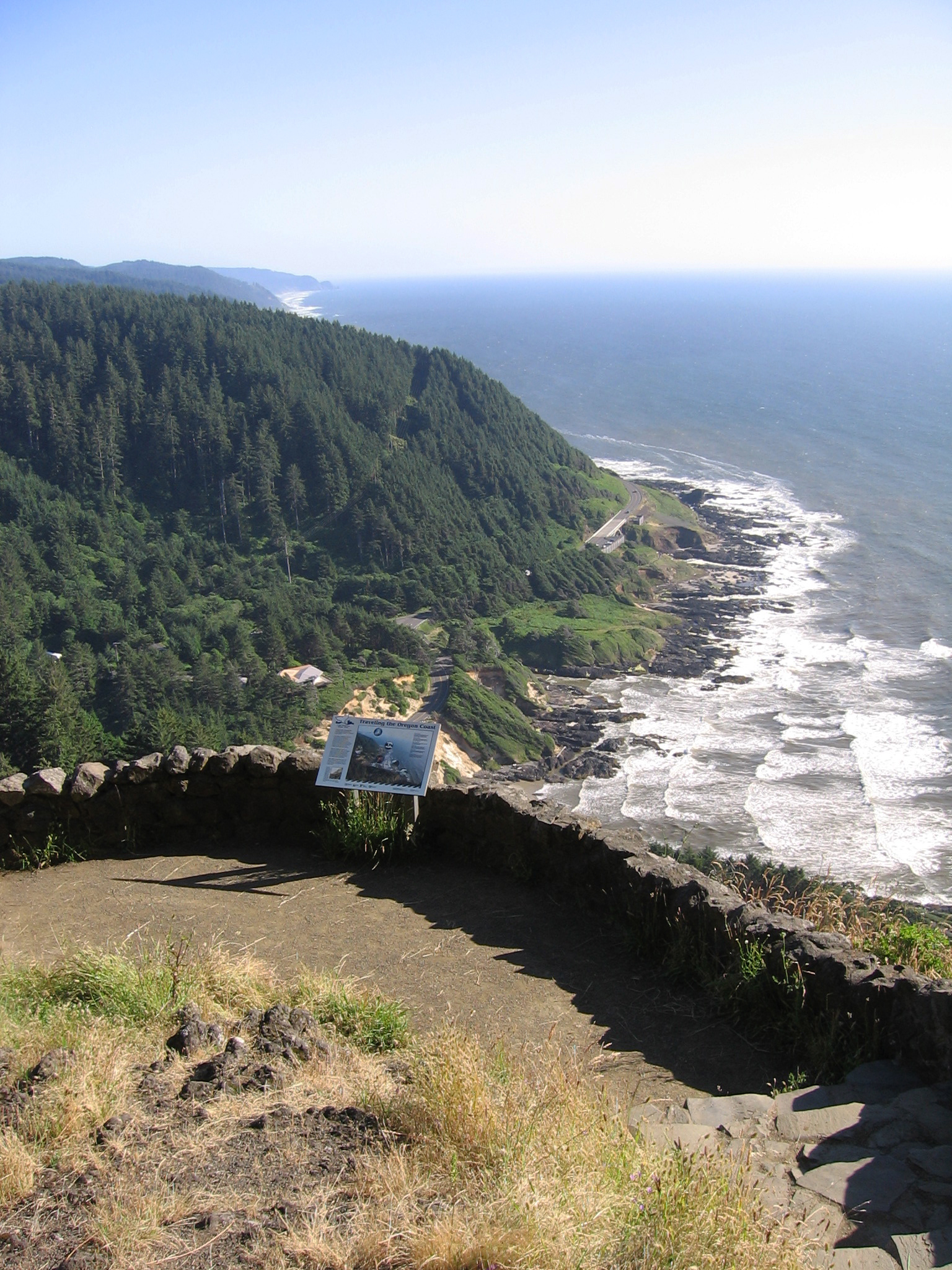
![]()
Cape Perpetua, looking south, July 2011.
-
![]()
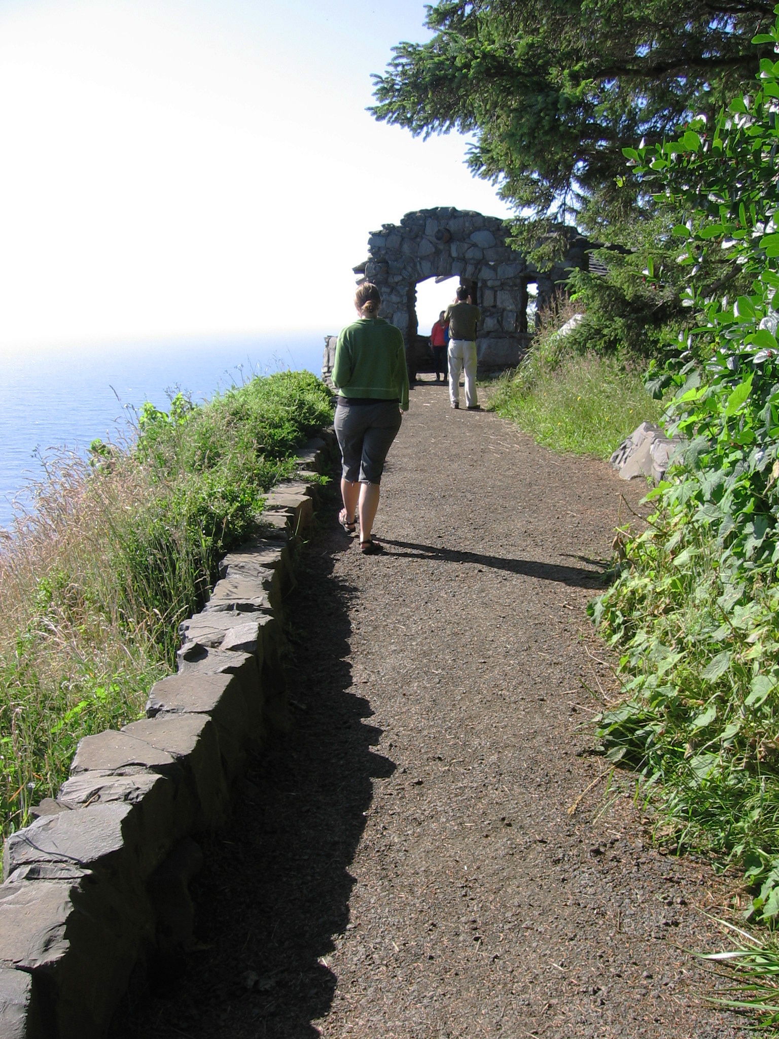
Cape Perpetua trail, July 2011.
-
![]()
Observatory on cape Perpetua, 1942.
Courtesy Oregon Hist. Soc. Research Lib., Oregon Journal Coll., photo file 947
-
![]()
Cape Perpetua, CCC shelter, July 2011.
Related Entries
-
![1000 Friends of Oregon]()
1000 Friends of Oregon
1000 Friends of Oregon was founded in 1975 by Governor Tom McCall and a…
-
![Alsea River]()
Alsea River
The Alsea River originates in creeks flowing from the west side of Mary…
-
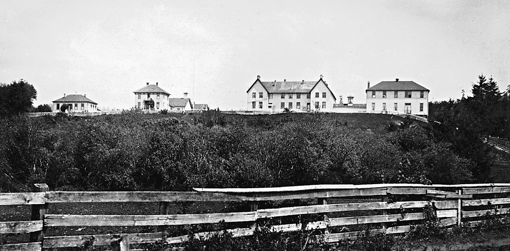
![Alsea Subagency of Siletz Reservation]()
Alsea Subagency of Siletz Reservation
In September 1856, Joel Palmer, the Superintendent of Indian Affairs fo…
-
![Coast Indian Reservation]()
Coast Indian Reservation
Beginning in 1853, Superintendent of Indian Affairs Joel Palmer negotia…
-
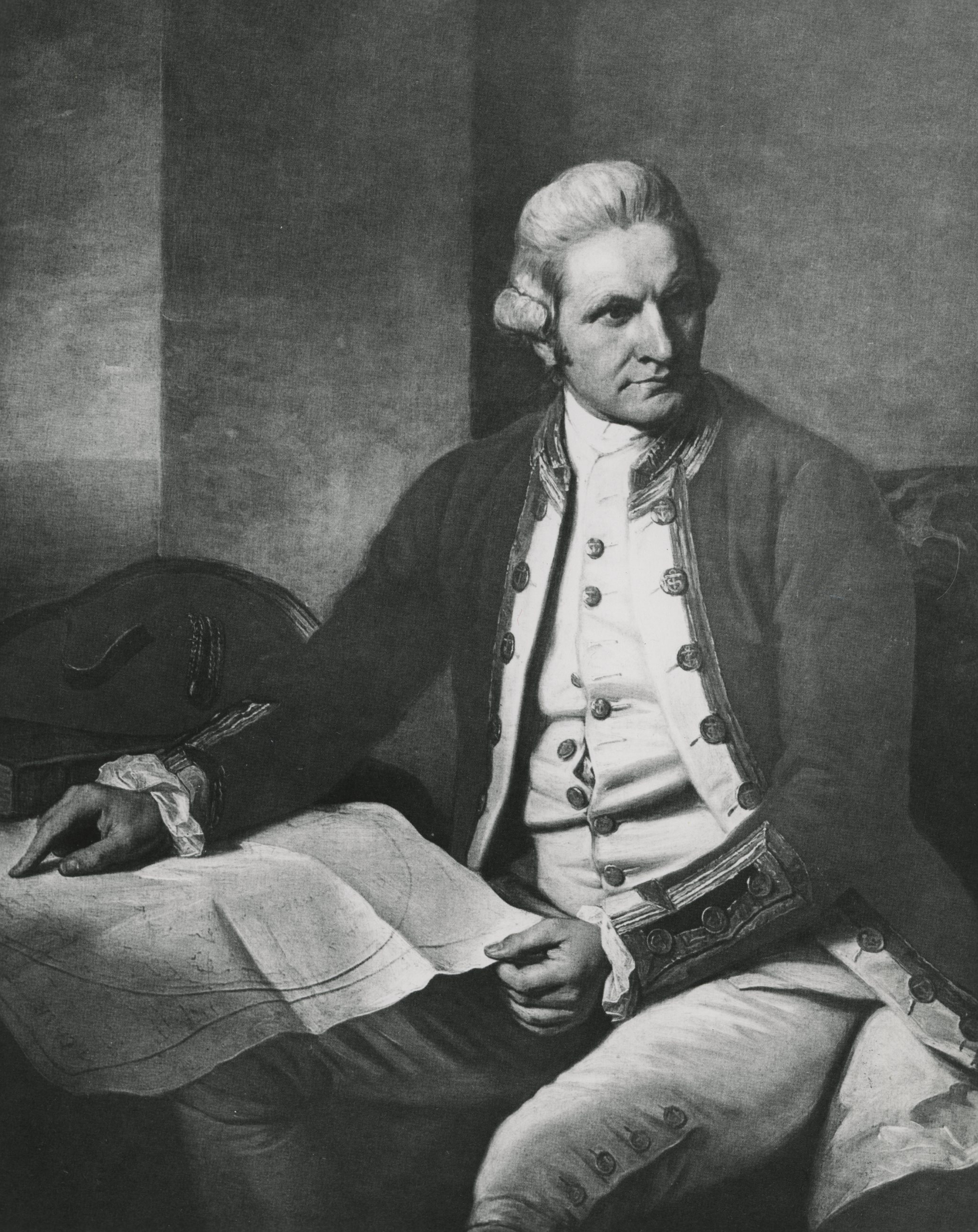
![James Cook (1728-1779)]()
James Cook (1728-1779)
In the lower right-hand corner of his magnificent Chart of the NW Coast…
-
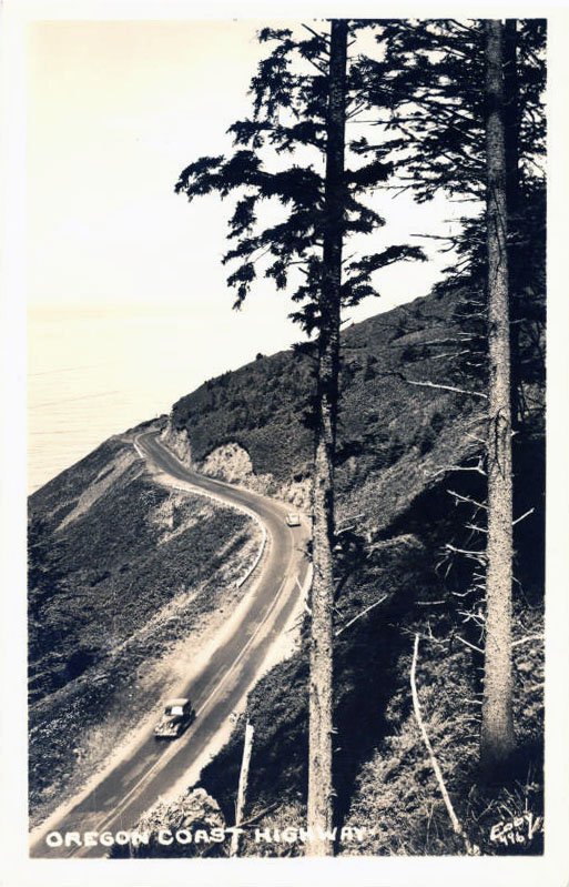
![US 101 (Oregon Coast Highway)]()
US 101 (Oregon Coast Highway)
Many places on the Oregon coast were virtually inaccessible in the earl…
Related Historical Records
Map This on the Oregon History WayFinder
The Oregon History Wayfinder is an interactive map that identifies significant places, people, and events in Oregon history.
Further Reading
Beckham, Stephen Dow. The Indians of Western Oregon: This Land Was Theirs. Coos Bay, Ore.: Arago Books, 1977.
Phillips, Patty Whereat. Shichils’s Blog, February 14, 2015. https://shichils.wordpress.com/2015/02/14/cape-perpetua/
Rowley, Jeanine A. The Cape Perpetua Story. U.S. Forest Service, 1980.
"Cape Perpetua Scenic Area." U.S. Forest Service, https://www.fs.usda.gov/recarea/siuslaw/recarea/?recid=42265