Long before the wheat and cattle ranches, the orchards and onion farms, before the vineyards and restaurants and shopping malls, when this place was occupied by several bands of what are today the Confederated Tribes of the Umatilla Indian Reservation, the Walla Walla Basin was known as Land of Many Waters. Walla, in one Sahaptian dialect, means water, and walla walla means many waters, running waters, or the place where a small stream runs into a larger one. The area also was known as Pašx̣ápa ‘the place of the balsamroot sunflower.’
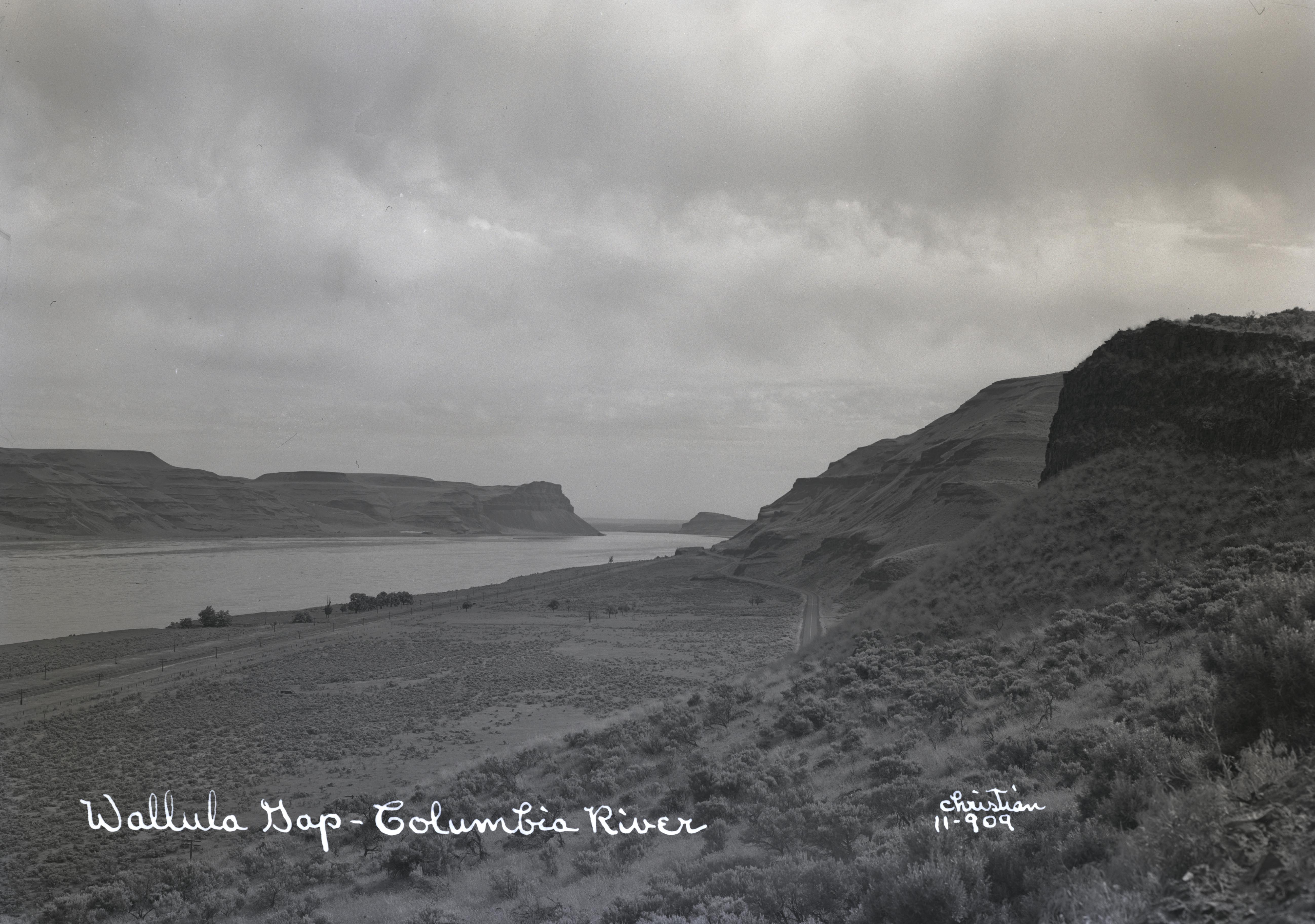
The Walla Walla River rises in the Blue Mountains of southeastern Washington and northeastern Oregon and flows north and west to enter the Columbia River 315 miles from the ocean, about ten miles downstream of the confluence of the Snake and Columbia Rivers and just upstream of Wallula Gap. The main stem of the river is 61 miles long and drains 1,758 square miles (1,118,720 acres). The basin includes parts of Walla Walla and Columbia Counties in Washington State and Umatilla, Wallowa, and Union Counties in Oregon. About 73 percent of the river’s drainage is in Washington.
The Walla Walla Basin is not densely populated. Only five cities in the basin have populations greater than 1,200, four of them in Washington. The largest is the City of Walla Walla, which had a population of about 33,400 in 2019; the largest Oregon city in the basin is Milton-Freewater, with a population of 7,074. Elevations in the basin range from 5,900 feet (1,800 meters) at the mountain crests to about 260 feet (80 meters) at the Columbia River. The eastern portion of the drainage, within the Umatilla National Forest, is steep and timbered, while the lower reaches consist of moderate slopes which level to rolling terrain. Approximately 90 percent of the basin is privately owned, with 9 percent managed by federal or state agencies. The Confederated Tribes of the Umatilla Indian Reservation (CTUIR) owns approximately 8,700 acres in the basin, managed for a variety of purposes, including cultural resources, water supply, fisheries, wildlife, rangeland, agriculture, forestry, and first foods, consistent with rights reserved by the Tribes in the Treaty of 1855.
The 55-mile-long Touchet River, the primary tributary of the Walla Walla River, originates on the northwestern slopes of the Blue Mountains and joins the Walla Walla at the town of Touchet, Washington. Another tributary, Mill Creek, flows through the City of Walla Walla in a concrete flood-control channel and enters the main river about seven miles west of the city near Waiilatpu (the Whitman Mission). Near the mouth of the Walla Walla River, precipitation is less than 10 inches (25 centimeters) annually and increases progressively eastward toward the mountains as the basin gains elevation. The headwaters receive more than 40 inches (100 centimeters) each year.
Early Non-Native Settlement
Irrigation water drawn from the Walla Walla and its tributaries began with the first permanent settlements in the basin. One of the earliest of these systems was constructed by Donald McKenzie of the North West Company to irrigate the gardens around Fort Nez Perce from ditches he dug to the river. McKenzie built the fort near the confluence of the Walla Walla and Columbia Rivers in 1818, and gardens were flourishing there eighteen years later, in 1836, when Marcus Whitman arrived. Development by whites was rapid in the homeland of the Cayuse and Walla Walla, but relations among Indians and the newcomers did not go well. White expansion into the area angered the Cayuse, as did the demise of the fur trade, the spread of introduced diseases, and the inflexibility of the missionaries to tribal culture and practices.
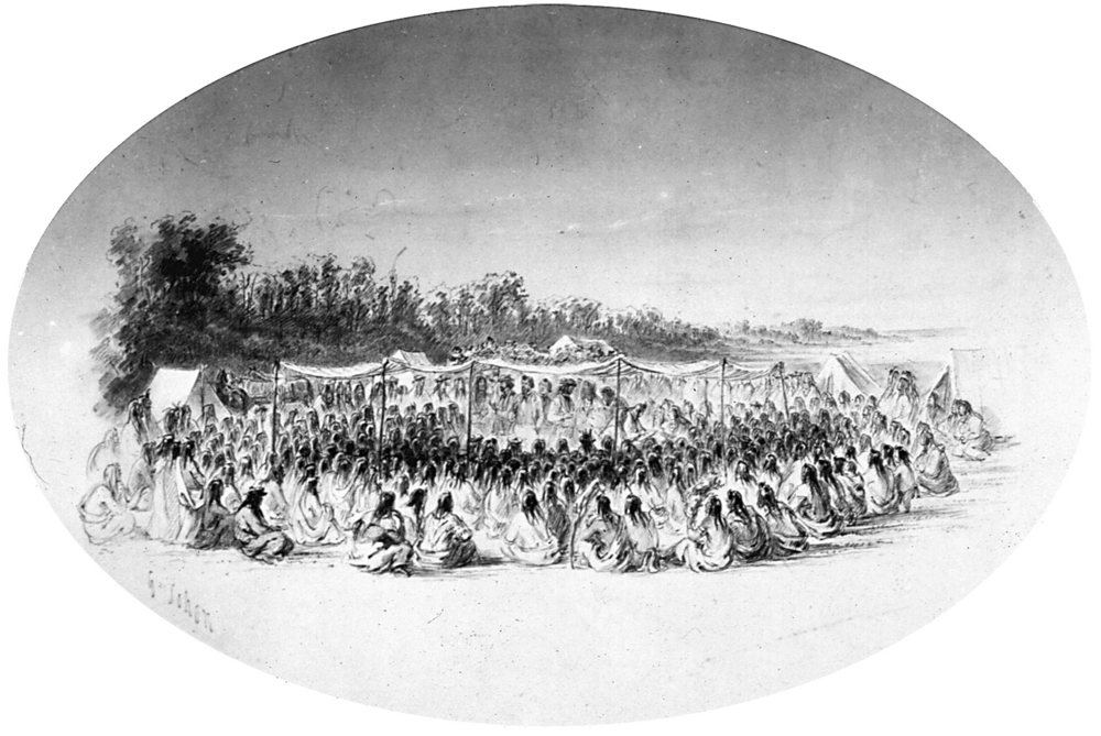
On November 27, 1847, sixty Cayuses and Umatillas attacked Waiilatpu, killing the Whitmans and eleven or twelve others. This led to war in 1848 and ultimately to a treaty negotiated at Walla Walla in 1855 with tribes from throughout the area. In the early to mid-1840s, before the murders, immigrants flooding into the Northwest on the Oregon Trail stopped at the mission. Following the treaty and the creation of reservations, American expansion into the area accelerated.
Irrigation and Farming
Ranches and farms were developed, irrigated with Walla Walla River water. The runoff is limited by how much snow falls in the Blue Mountains, and it can vary considerably from year to year. Over time, demand for water was so great that the river was over-appropriated; that is, more water was guaranteed for consumptive uses, including agriculture, than the river could deliver. The town of Freewater, in Oregon, was named for obvious promotional reasons. The free water was promised for drinking purposes, not irrigation, but there was a lot of water to be had and even given away—at first.
During the twenty-first century, the Walla Walla Basin is a productive agricultural region, with dryland agriculture practiced throughout the basin and intensive irrigated cropland in the Walla Walla River valley. Crops have included grain, onions, beans, asparagus, potatoes, hay, and fruit. Wheat remains the undisputed king of crops in the basin, followed by forage crops such as hay, vegetables, dry peas, and apples. In recent decades, vineyards have proliferated, and in 2021 there were more than 140 wineries in the Walla Walla Valley. The arid terrain, with its hot summers and cool autumns, is particularly suited to red wine grapes. The local wine industry employs about 10 percent of all working residents of Walla Walla County and generates some $430 million in business sales and about $17.4 million in tax revenues annually, according to the Walla Walla Valley Wine Alliance.
Irrigation, Fish Habitat, and Native Conservation Efforts
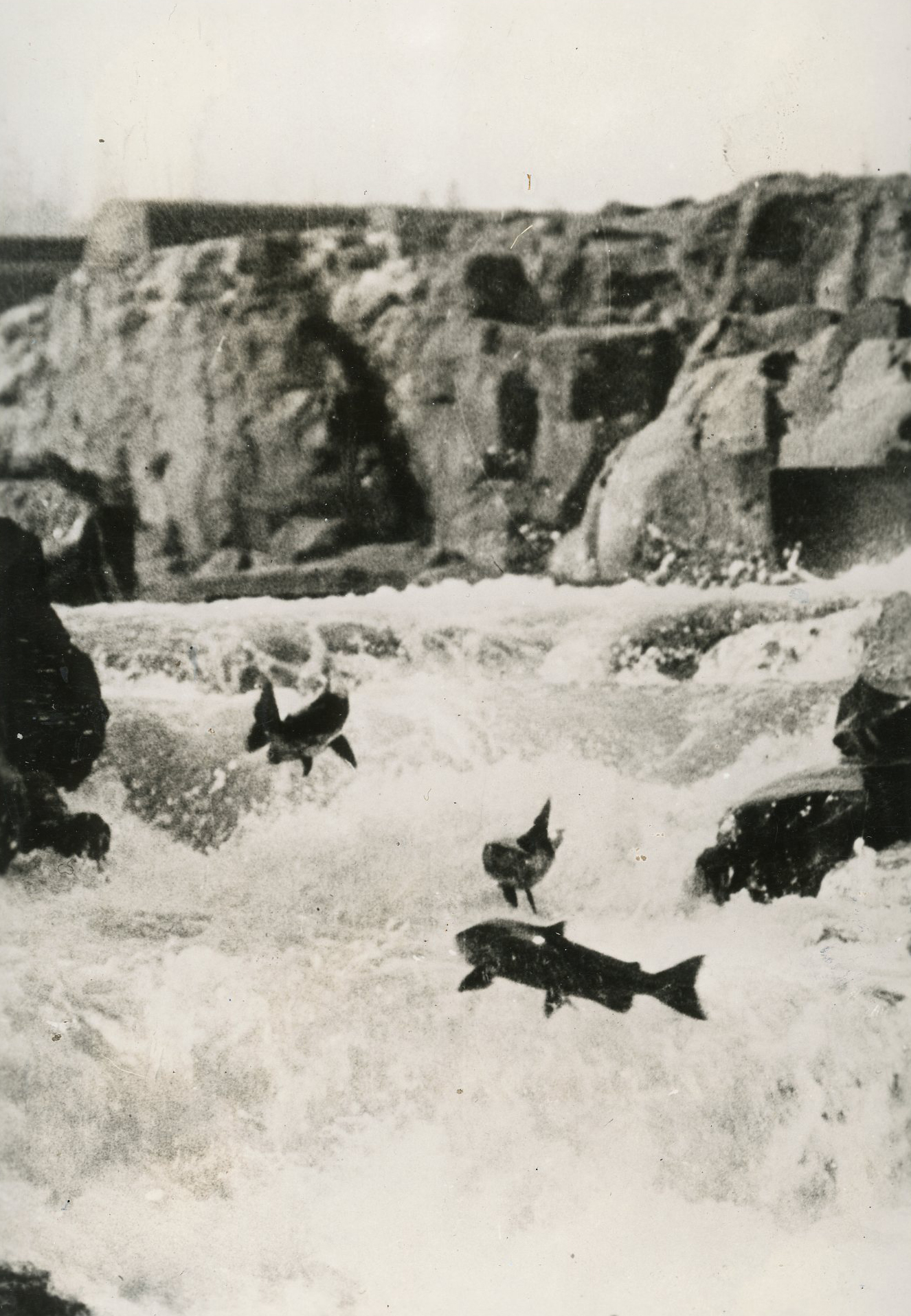
The over-appropriation of water in the Walla Walla Basin, however, combined with the year-to-year variations in natural streamflow, steadily took a toll on water quality, habitat, and fish, particularly salmon. Annual flow fluctuations that warmed water during the spring and summer months, a situation exacerbated by water withdrawals for irrigation, combined with habitat alterations from agriculture, meant real danger for salmon and steelhead and contributed to the extinction of native spring Chinook and the decline of other fish species. Access to spawning and rearing habitat in the upper areas of the basin has been threatened by inhospitable river conditions in the lowlands, where the Walla Walla and Touchet Rivers flow through or near cities, ranches, and farms.
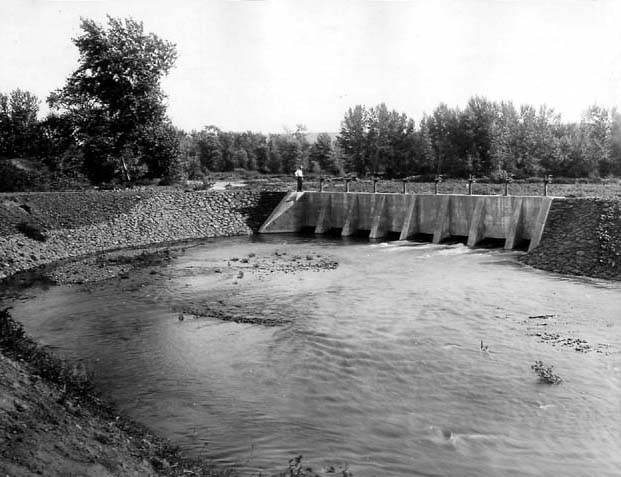
The average annual runoff of the Walla Walla River is 462,000 acre-feet. Even before large-scale irrigation, summer flows were low, but the problem was exacerbated by irrigation and the demand for water from population growth. In several areas, water diversions during the irrigation season completely dewatered reaches of the river and principal tributaries. For more than seventy-five years, the river went dry each year, often stranding fish and their egg nests. Recognizing this problem, three irrigation districts, representing the majority of surface water use in the basin, pledged in 2000 to keep a minimum water flow in the river and signed an agreement to that effect with the U.S. Fish and Wildlife Service.
The only naturally occurring populations of anadromous fish in the Walla Walla Basin in the early 2020s are summer steelhead. This species, which also is present in the Touchet River, is federally listed as threatened. Native spring Chinook are extinct in the Walla Walla Basin, last documented in the subbasin in the 1950s. Spring Chinook, however, have been reintroduced using fish from the Carson National Fish Hatchery in Carson, Washington. The Umatilla Tribe has been capturing these fish as they return from the ocean to spawn, rearing them at a holding facility on the South Fork Walla Walla River and releasing them to rebuild a naturally spawning population. In 2019, the Umatilla began expanding the holding facility into a full-scale hatchery. The facility was completed in 2021 and dedicated in September. Bull trout also are present in the Walla Walla Basin and are federally listed as a threatened species. In 2015, the U.S. Fish and Wildlife Service, which is responsible for bull trout, issued a recovery plan for the species throughout its range in the northwestern states. According to the Walla Walla Subbasin Plan, wherever bull trout are present in the river basin it is expected that they will benefit from improvements in habitat for spring Chinook and steelhead.
In response to the declining fish populations, model partnerships and cooperative solutions such as a minimum flow agreement were developed among the states of Washington and Oregon, federal agencies, CTUIR, and private landowners. Their goals were to conserve water by planting fewer water-intensive crops, for example, and promoting high-value crops that need less water, such as wine grapes; delivering water more efficiently; and changing farming practices to reduce water pollution. Effective planning led to an assessment of Walla Walla River flows through the 2014 Walla Walla Basin Integrated Flow Enhancement Study, whose stated goal is to “increase stream flow in the Walla Walla Basin for native fish, while maintaining the long-term viability of and water availability for irrigated agriculture, residential, and urban use.” Many farms and vineyards are now certified by Salmon Safe, an organization that works to protect fish by encouraging the use of natural pesticides, using water more efficiently, protecting waterways from pollution, and practicing sustainable farming.
-
![]()
-
![]()
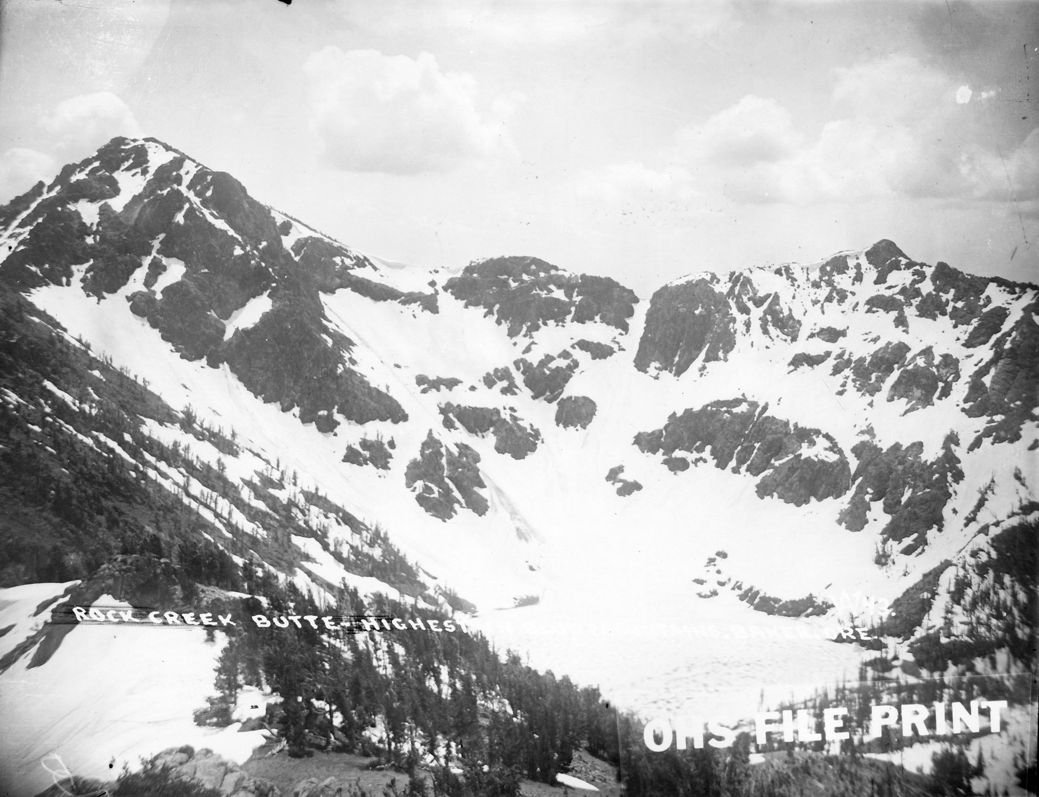
Blue Mountains.
Courtesy Oregon Hist. Soc. Research Lib., Orhi13937
-
![]()
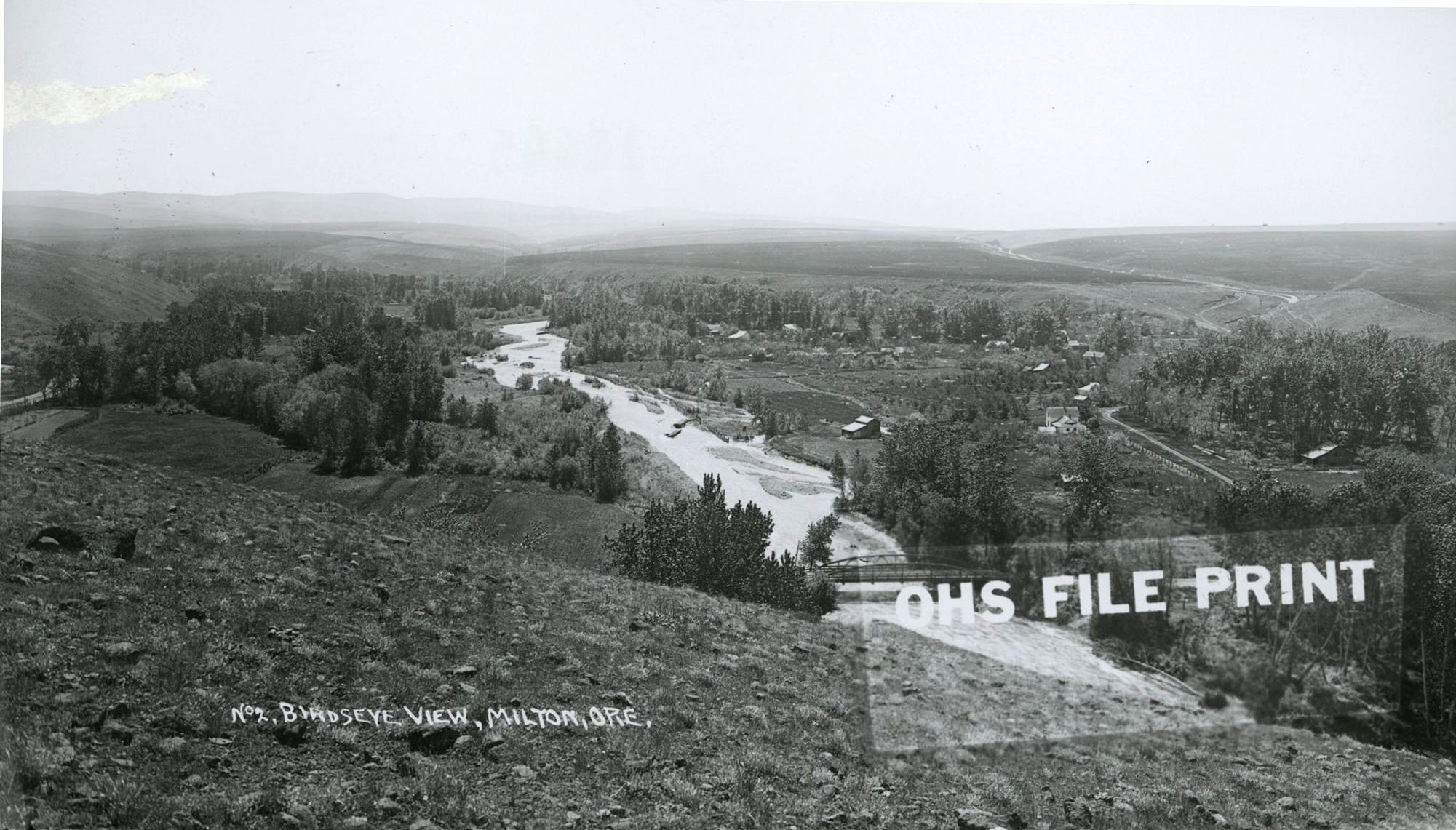
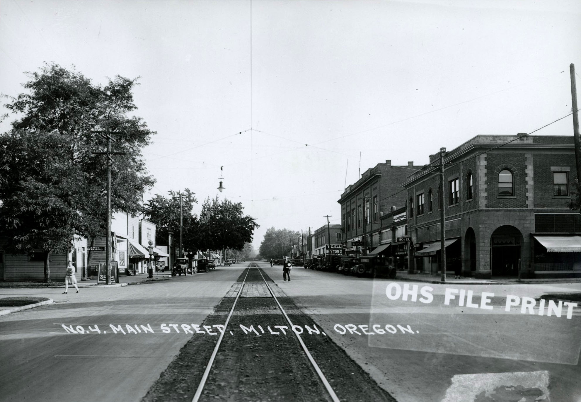
Birdseye view of Milton, Oregon.
Courtesy Oregon Hist. Soc. Research Lib., bc006014, photo file 751b
Related Entries
-
![Blue Mountains]()
Blue Mountains
The Blue Mountains, perhaps the most geologically diverse part of Orego…
-
![Milton-Freewater]()
Milton-Freewater
Milton-Freewater, a city of about 7,000 people, is located at the foot …
-
![Salmon]()
Salmon
The word “salmon” originally referred to Atlantic salmon (Salmo salar),…
-
![Umatilla River]()
Umatilla River
The Umatilla River flows out of the forested northwestern slopes of the…
-
![Walla Walla Treaty Council 1855]()
Walla Walla Treaty Council 1855
The treaty council held at Waiilatpu (Place of the Rye Grass) in the Wa…
-
![Whitman Murders]()
Whitman Murders
The 1847 murders of frontier missionaries Marcus and Narcissa Whitman n…

Related Historical Records
Map This on the Oregon History WayFinder
The Oregon History Wayfinder is an interactive map that identifies significant places, people, and events in Oregon history.
Further Reading
Paulus, Michael J., Jr. "Walla Walla, Thumbnail History." Historylink, February 26, 2008. Accessed September 25, 2020.
Carson, Robert, and Leslie Cain, eds. Many Waters - Natural History of the Walla Walla Valley and Vicinity. Sandpoint, Idaho: Keokee Books, 2015.
Karson, Jennifer. Wiyaxayxt / Wiyaakaa'awn / As Days Go By: Our History, Our Land, Our People --The Cayuse, Umatilla, and Walla Walla. Tamástslikt Cultural Institute, Pendleton and the Oregon Historical Society. Seattle: University of Washington Press, 2006.
Walla Walla Subbasin Assessment, Walla Walla Basin Watershed Council, April 2004.
Hillhouse, Vicki. "Fewer, larger farms in the Valley today." Union-Bulletin, August 18, 2019.
"A Brief History of CTUIR." Confederated Tribes of the Umatilla Indian Reservation.