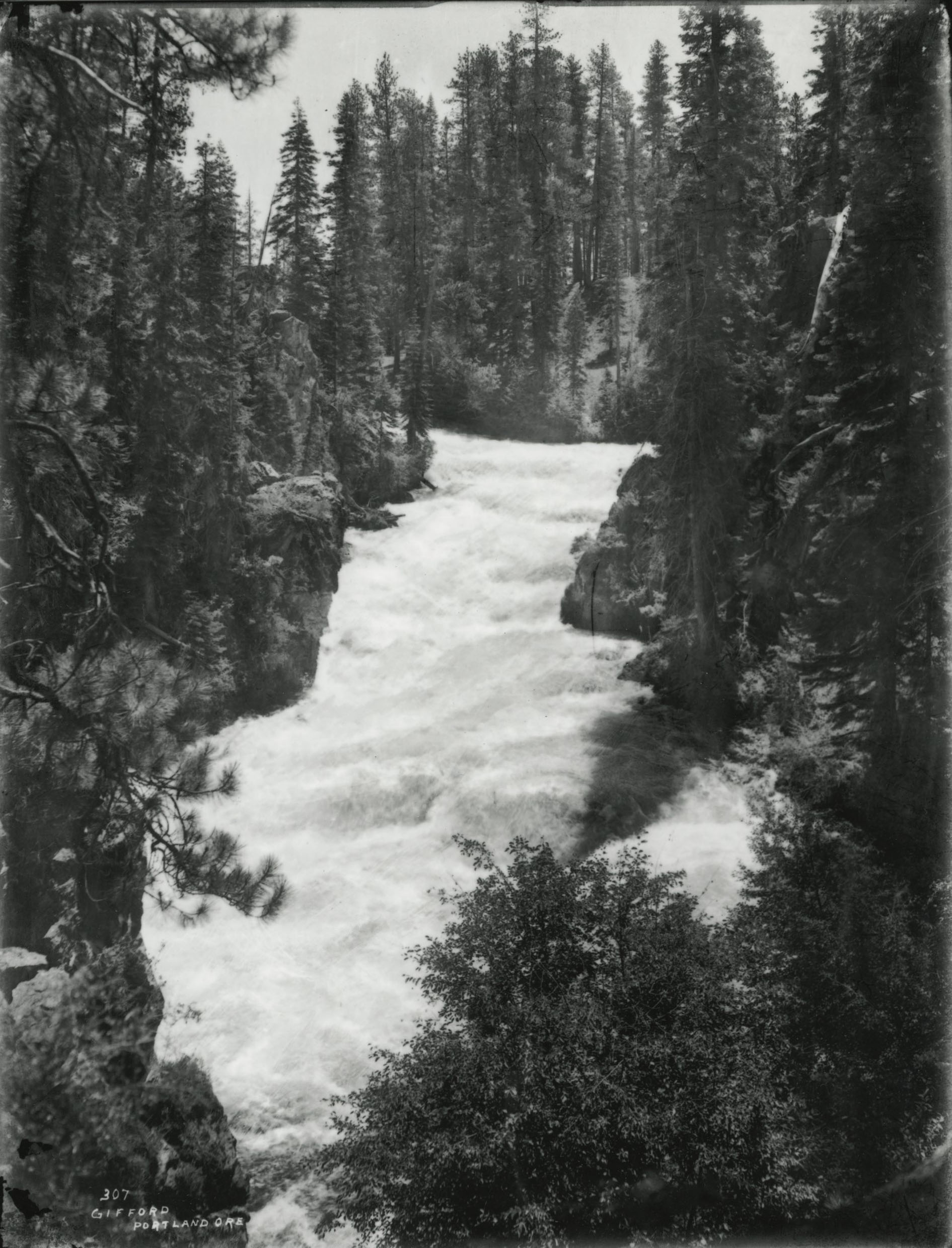
The Snake River has its headwaters at an elevation of 8,200 feet on the Two Ocean Plateau, in the icy highlands of the Continental Divide in Wyoming. Roaring down the Idaho face of the Rockies, surging with snowmelt from the Yellowstone Plateau, the Snake cuts through deep, spectacular canyons. At Shoshone Falls near present-day Twin Falls, Idaho, the channel plunges into a gorge, falling 212 feet to form falls higher than Niagara Falls. Turning north at Ontario, the river follows the Idaho-Oregon line through mile-deep Hells Canyon and then past Idaho’s barge port at Lewiston to Pasco, Washington, where it joins the Columbia. Flowing 1,076 miles from source to mouth, the Snake is the nation’s thirteenth longest river and the largest tributary to the Columbia.
Ice age hunters probably had reached the present-day Snake River and witnessed the cataclysmic flood that sculpted its jagged canyons in about 15,000 BP. The Bonneville Flood exploded through basalt formations, turning the river north. Today, the channel carved by the flood drains a basin larger than the State of Utah. Carrying half the volume of the Columbia River and twice the volume of the Colorado, the river feeds irrigation canals across 4 million acres of croplands. The Snake River watershed is 41 percent of the Columbia River Basin land area and adds just over 30 percent to Columbia's volume. From Lewiston to Pasco, four large dams create a slackwater transportation corridor, allowing barges to freight 3.5 million tons of cargo a year. Power plants at seventeen large Snake basin dams supply most of Idaho’s electricity.
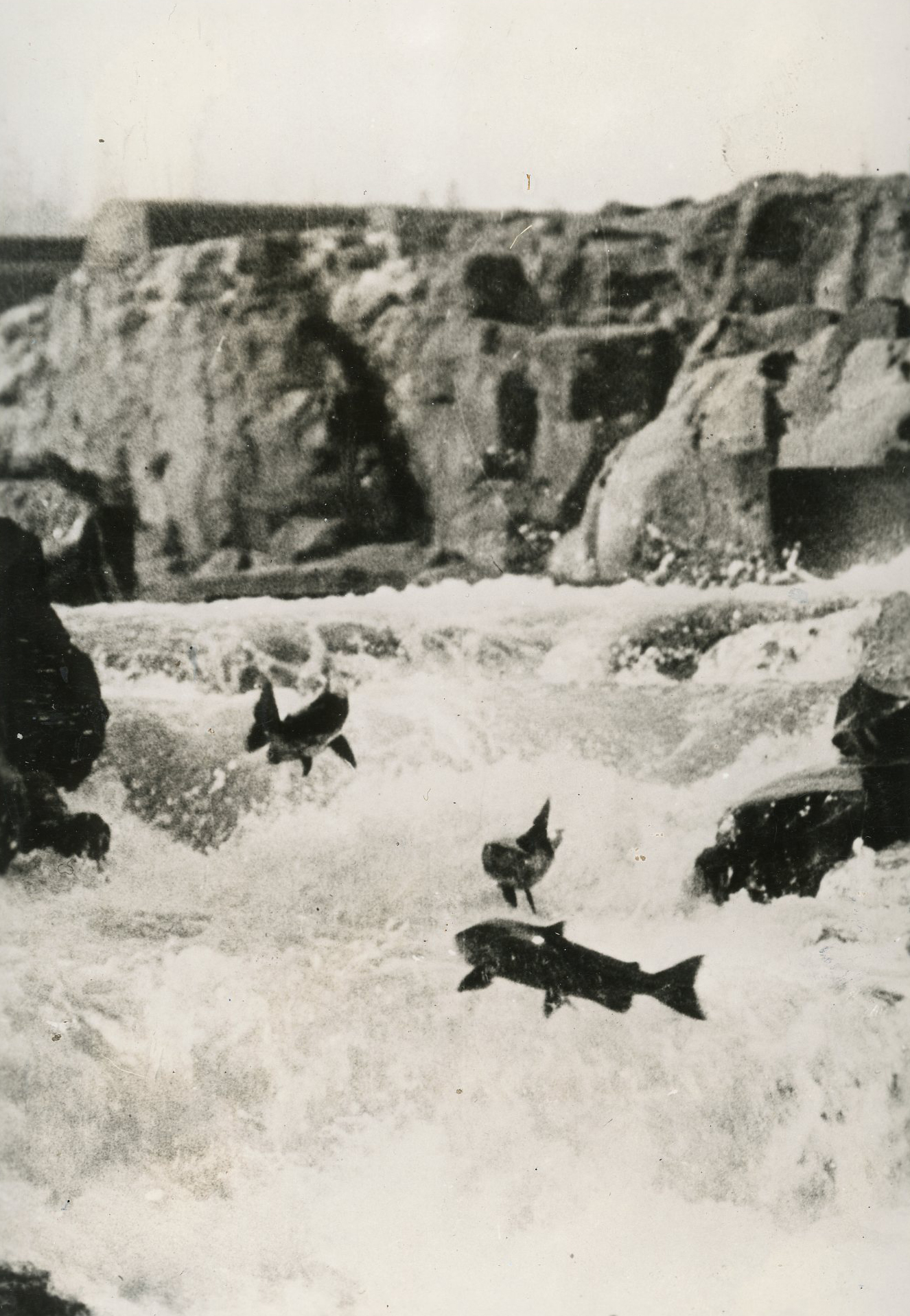
Engineering attempts to harness the powerful Snake River long predate rebar and concrete constructed dams. Natives at Fishing Falls in the Hagerman Valley in south-central Idaho narrowed the channel with boulders to harvest salmon migrating upriver. By 1800, Nez Perce, Shoshone, and Bannock horsemen ranged across the basin. Natives encountered by Meriwether Lewis and William Clark in 1805-1806 had stone corrals, villages with grass houses, and a regional economy based on seasonal hunting, fishing, and harvests.
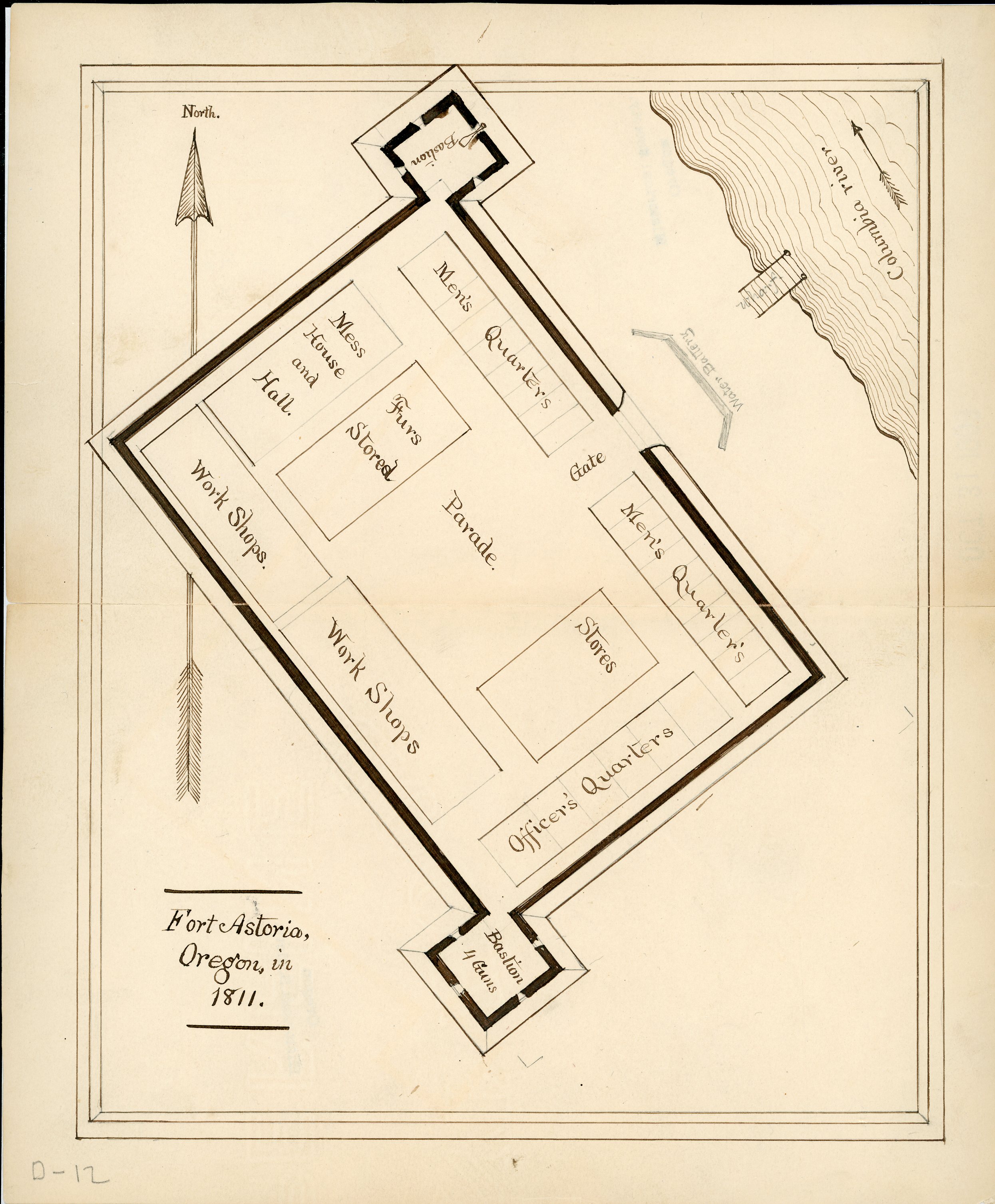
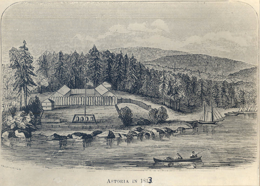
Europeans first explored the Snake River as part of the Canadian fur trade. In 1811, North West Company trapper David Thompson claimed the Snake River Basin for Great Britain. Trappers working for the American-based Pacific Fur Company, bound for Fort Astoria, met tragedy later that year when their canoes capsized in the staircase of rapids at Cauldron Linn in present-day southern Idaho.
After 1842, westward-bound migrants wended their way through the Snake River canyons on their way to Oregon’s Willamette Valley. Twenty years later, settlers prospected for gold and herded tens of thousands of cattle along the Snake River’s wagon trail. Idaho's 1863 gold rush opened rich prospecting grounds along the Snake River Canyon, in the tributary basins of the Boise and Owyhee Rivers.
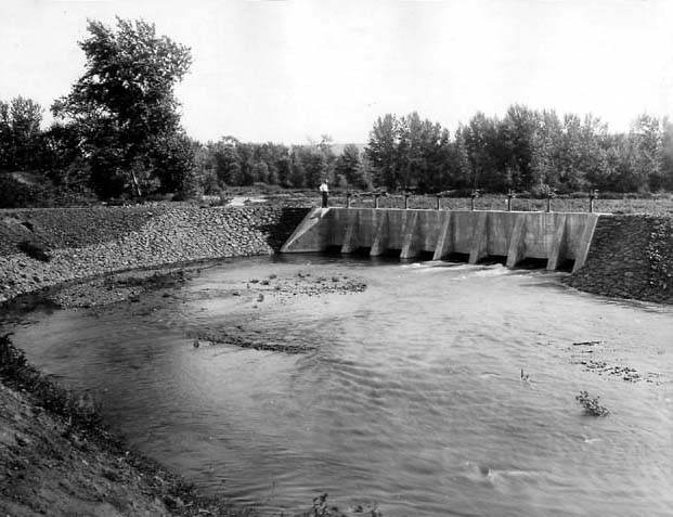
Dreams outpaced fiscal resources during the early years of Snake River irrigation. In the 1870s and 1880s, drought conditions and porous volcanic terrain challenged engineers to create efficient gravity canals to carry water to agricultural fields. In 1894, near Blackfoot, Idaho, a group of Mormons tapped the upper Snake for an irrigation network called the Great Feeder Canal.
Meanwhile, private investors reclaimed desert land southwest of Boise by way of the New York Canal. In 1901, a hydropower dam at Swan Falls became the first to impound the main stem of the Snake River and one of the first to restrict salmon migration. Milner Dam, completed in 1905, fed a thousand miles of canals and, later, ditches, watering 360,000 acres. Minidoka Dam, completed in 1906, was the first large U.S. Reclamation Service project on the main stem of the Snake River. Minidoka’s power plant, added in 1911, became a symbol of the Progressive Era’s commitment to rural electrification. Five years later, on the Boise River in Arrowrock Canyon, engineers pioneered concrete gravity arch construction techniques on Arrowrock Dam, the world's tallest dam at 350 feet in height.
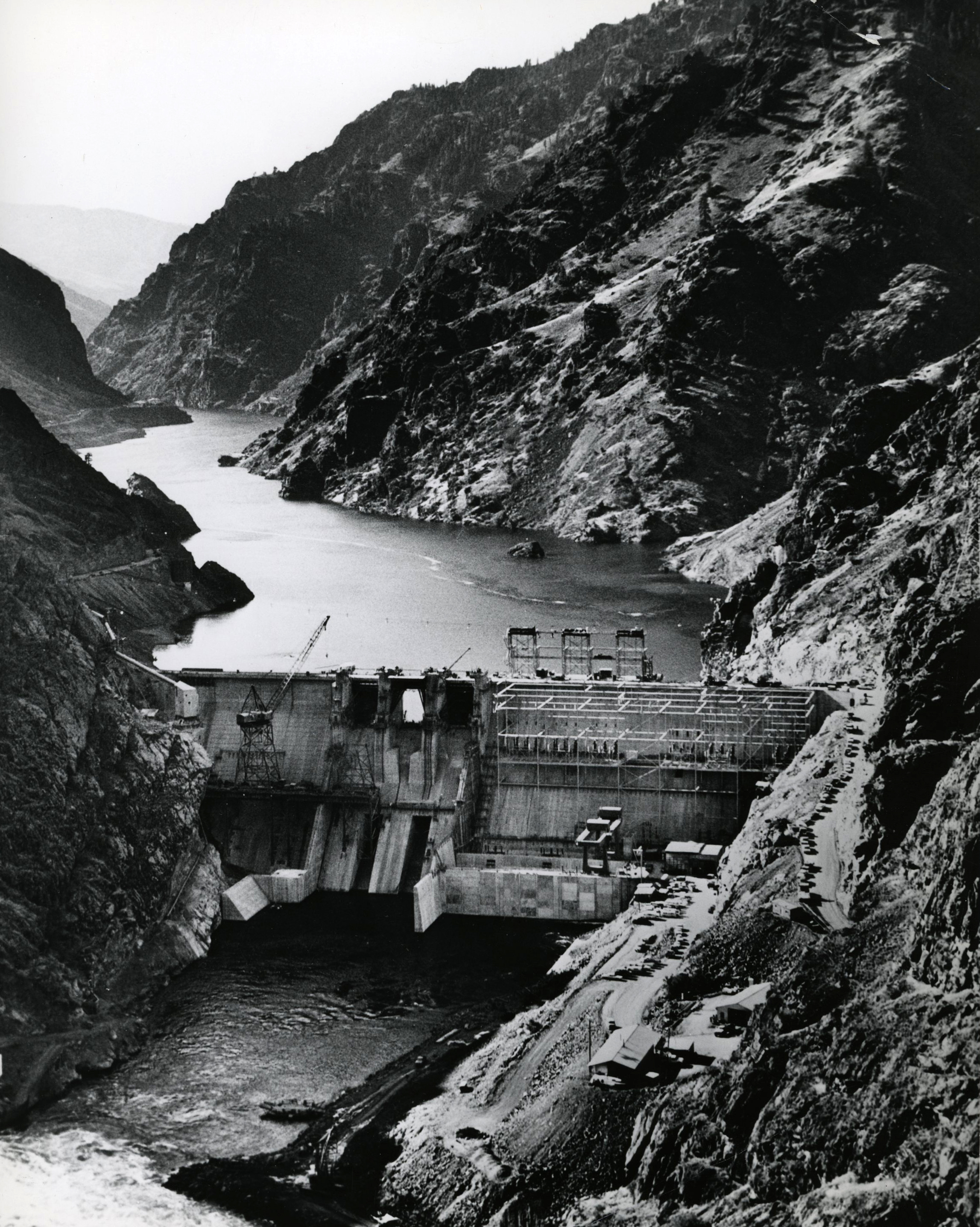
Two benefits of federal reclamation were inexpensive hydropower and a rising water table that created ideal conditions for pump irrigation. Dam politics in Hells Canyon in the 1940s and 1950s, however, pitted Idaho Power, a private company, against the U.S. Bureau of Reclamation. Idaho Power prevailed with low hydro dams at Brownlee (1959), Oxbow (1961), and Hells Canyon (1967). The controversy prevented the federal government from building a high dam and helped stem a consolidation of private and local water projects into a vast regional authority. The showdown in Hells Canyon helped make big dams a symbol of big government and anticipated subsequent environmentalist opposition to massive federal projects.
In 1968, the National Wild and Scenic Rivers Act brought federal protection to parts of the Clearwater and Salmon, two Snake River tributaries. The 1976 collapse of Teton Dam on the Teton River, a small tributary of the Snake in eastern Idaho, scuttled the state’s plans to expand irrigation near Rexburg. A historic drought the following year aggravated a legal dispute between upstream and downstream water users on the Snake. Upstream users, the first to build canals, had the stronger water rights. But in 1984, in the principles set forth by the Swan Falls Agreement, water users agreed to set levels of minimum flows—enough, in theory, to sustain hydropower and fish habitat. At the same time, water shortages compromised the dilution needed to safely flush chemical agricultural runoff. Urban sewage, logging, and mining also dumped toxins in river, killing fish and fouling drinking water.
Perhaps the Snake’s most enduring political dispute concerns anadromous salmon. Before the dams were built, hundreds of thousands of salmon returned from the Pacific Ocean to spawn in the Idaho mountains. But the dams, commercial and sport fishing, habitat loss, and pollution gradually changed the ecology of the river and restricted the fish runs. On the lower Snake, dams at Ice Harbor, Lower Monument, Little Goose, and Lower Granite further reduced the runs.
In 1992, the federal government listed the spring, summer, and fall Chinook runs on the Snake River as "threatened." The year before, the Snake sockeye run had been listed as “endangered.” Although there has been some improvement in fish sustenance on the river, threats from mixing wild and hatchery fish and increasingly warming water remain. In 2016, a federal court ruling advanced litigation calling for the breaching of the four Lower Snake dams.
-
![]()
Snake River.
Courtesy Oregon Hist. Soc. Research Lib., 34806
-
![]()
Eureka Bar near mouth of Imnaha River, Hells Canyon.
Courtesy Oregon Hist. Soc. Research Lib., 004079
-
![]()
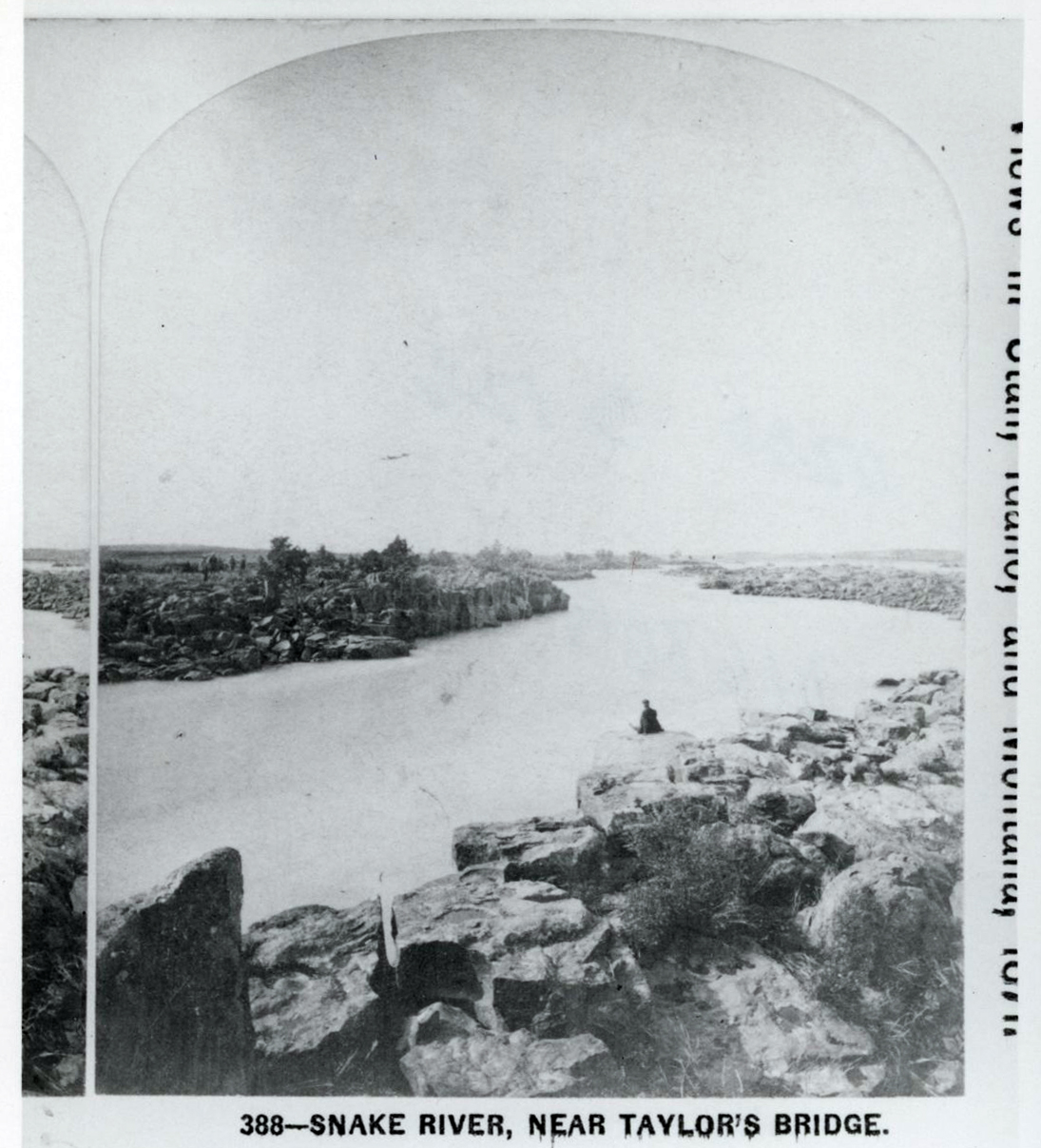
Snake River near Taylor's Bridge, Idaho, 1871.
Courtesy Oregon Hist. Soc. Research Lib., 016865
-
![]()
Hells Canyon Dam on the Snake River, 1967.
Courtesy Oregon Hist. Soc. Research Lib., Orhi93275
-
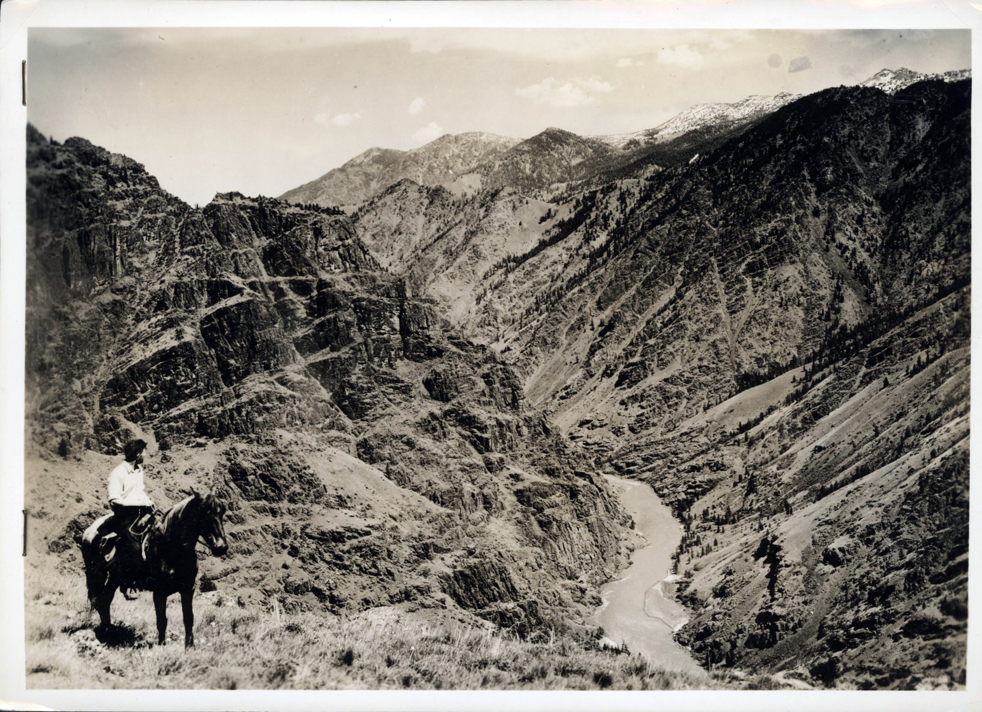
![]()
Looking down the Snake River.
Courtesy Oregon Hist. Soc. Research Lib., B.C. Towne, 73273, photo file 905S1
-
![Cecil Ager for Federal Works Progress]()
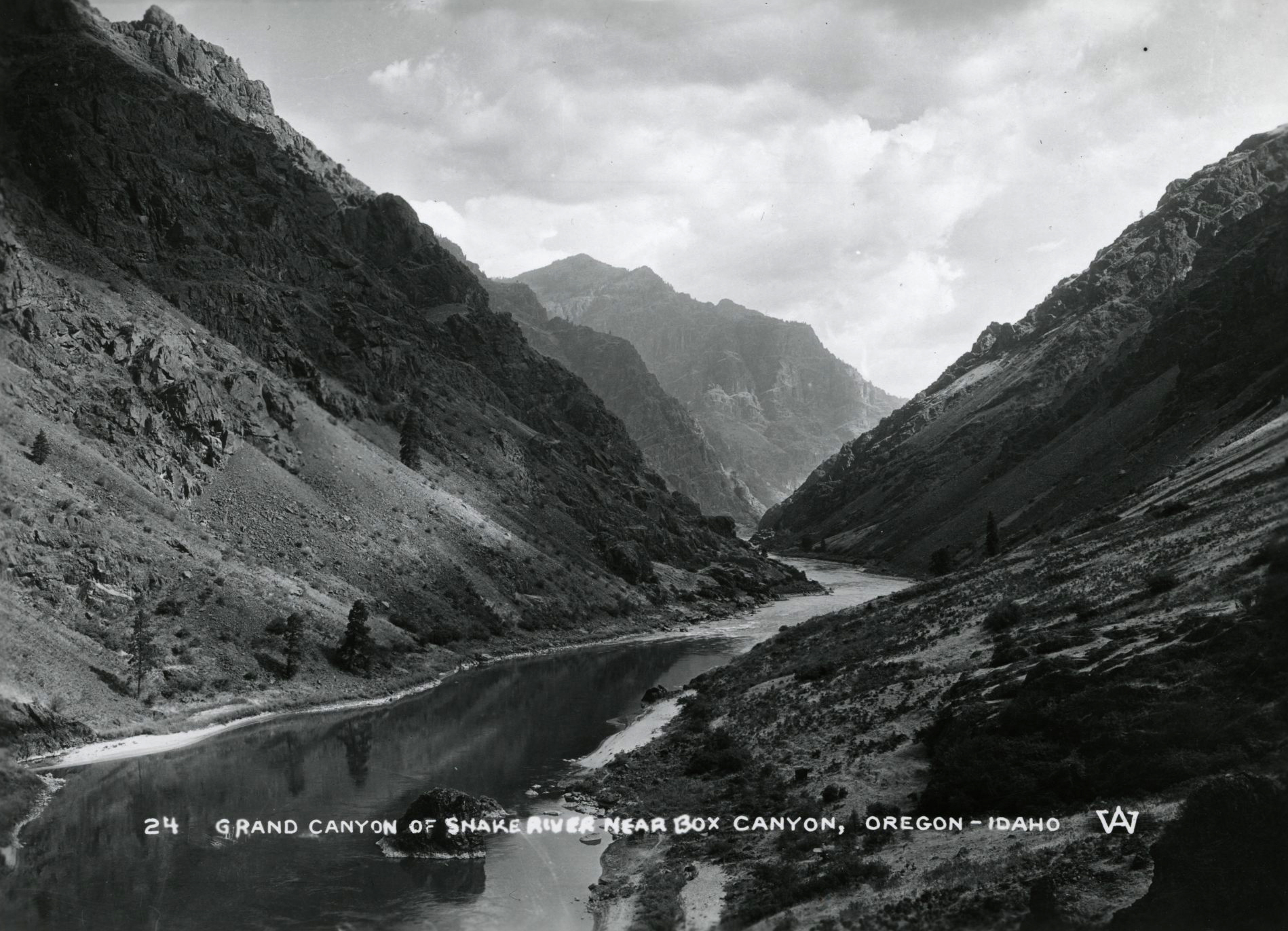
Snake River Canyon, 1938.
Cecil Ager for Federal Works Progress Courtesy Oregon Hist. Soc. Research Lib., Orhi55388, Cecil Ager, Federal Works Progress
-
![Oregon on the left, Idaho on the right, Washington ahead]()
Looking downstream on the Snake River.
Oregon on the left, Idaho on the right, Washington ahead Courtesy Oregon Hist. Soc. Research Lib., 003162
-
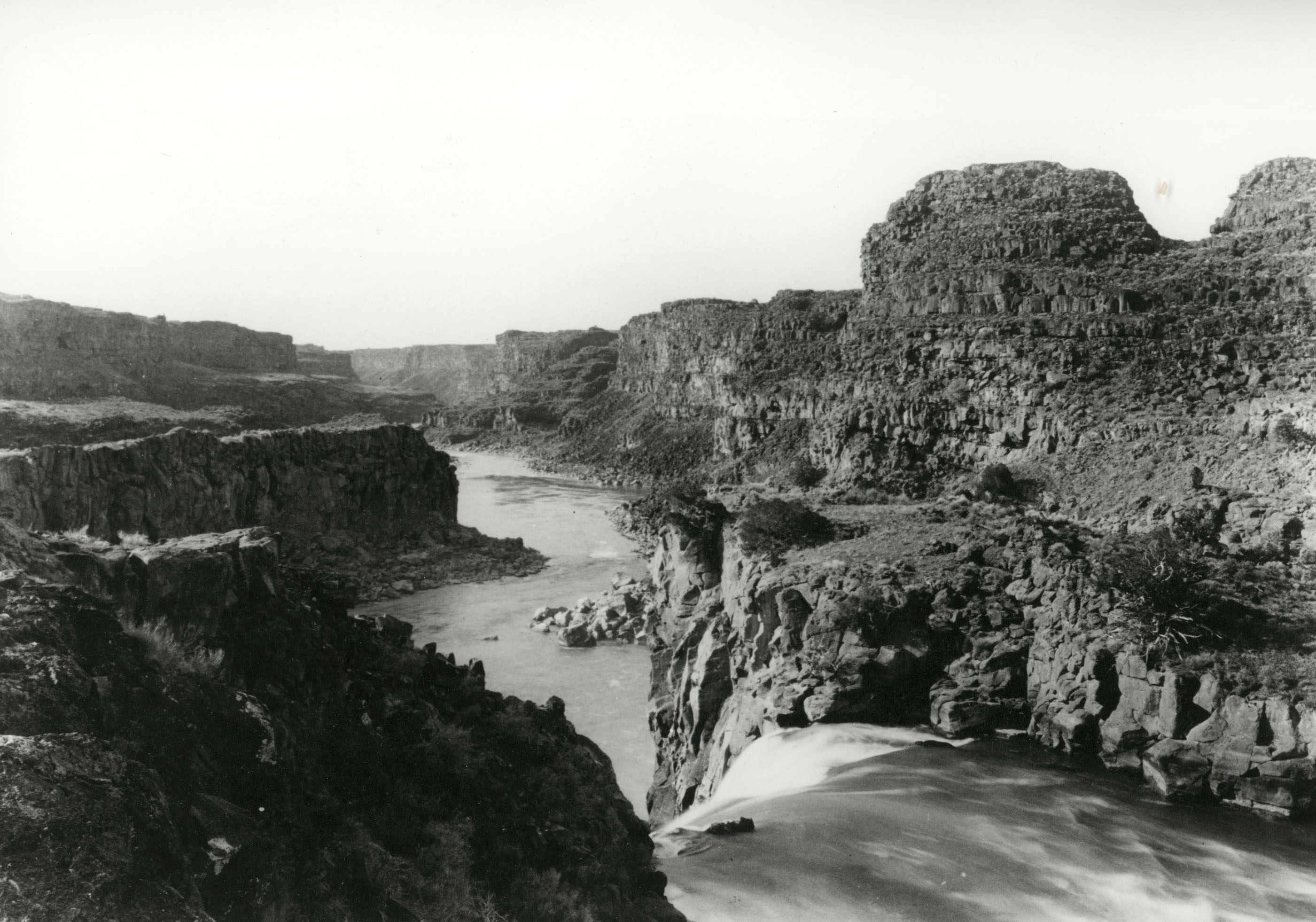
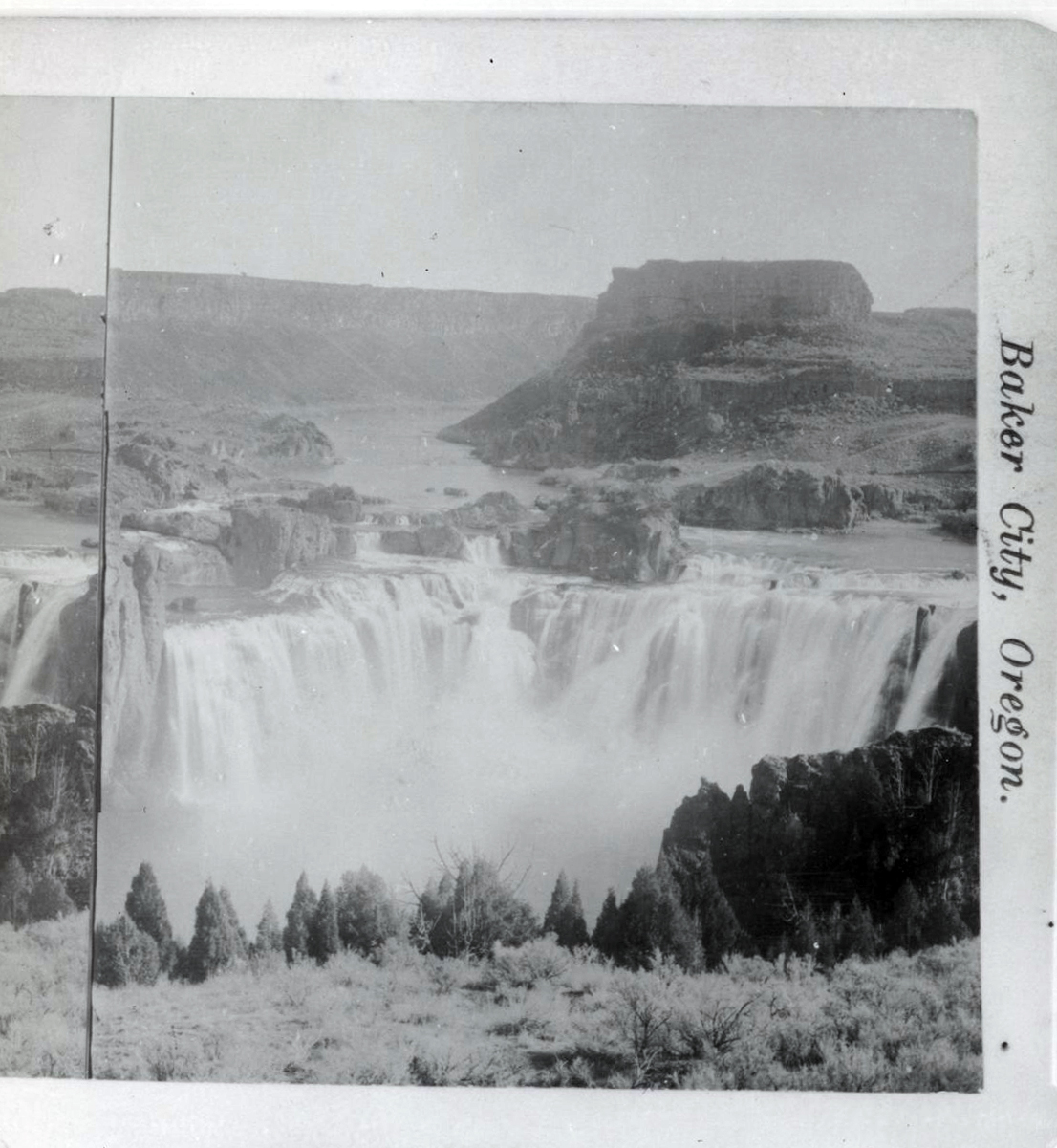
![]()
Shoshone Falls, Idaho, 1885.
Courtesy Oregon Hist. Soc. Research Lib., 016199
-
![]()
Shoshone Falls, Snake River, 1885.
Courtesy Oregon Hist. Soc. Research Lib., 016201
-
![]()
Camas Prairie Railroad trestle.
Courtesy Oregon Hist. Soc. Research Lib., 58671
-
![]()
Imnaha Rapids, 1961.
Courtesy Oregon Hist. Soc. Research Lib., Orhi1333
-
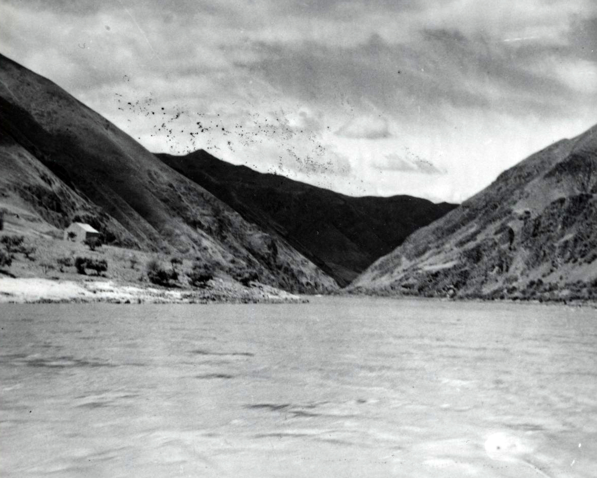
![]()
Mouth of the Salmon River at the Snake River, Idaho.
Courtesy Oregon Hist. Soc. Research Lib., 003158
-
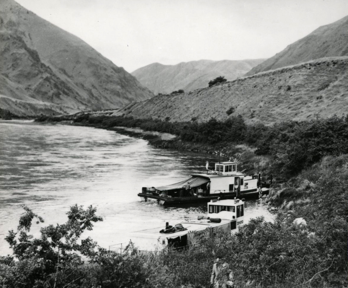
![The "Idaho" and "Chief Joseph" belonged to Blaine Stubblefield.]()
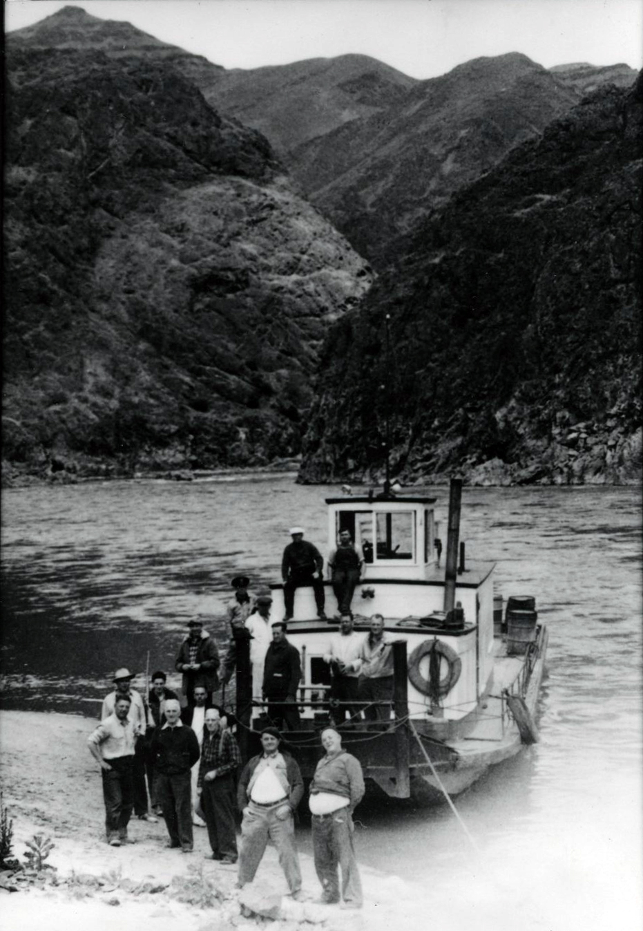
Excursion boats moored at Temperance Creek at Snake River, c.1951.
The "Idaho" and "Chief Joseph" belonged to Blaine Stubblefield. Courtesy Oregon Hist. Soc. Research Lib., 003894
-
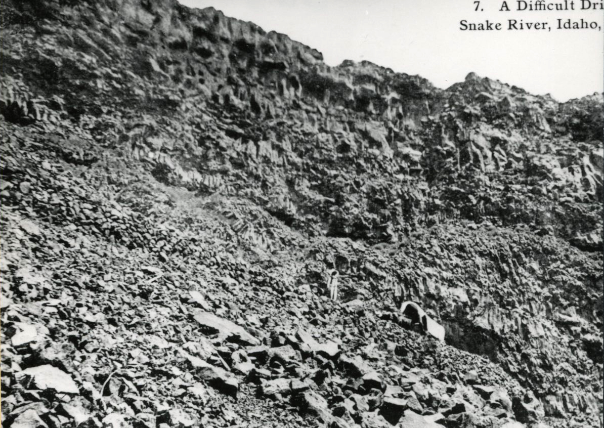
![Ezra Meeker's Oregon Trail reenactment journey]()
Sharp incline up from the Snake River, 1910, Idaho.
Ezra Meeker's Oregon Trail reenactment journey Courtesy Oregon Hist. Soc. Research Lib., 00394
Related Entries
-
![Astor Expedition (1810-1813)]()
Astor Expedition (1810-1813)
The Astor Expedition was a grand, two-pronged mission, involving scores…
-
![Columbia River]()
Columbia River
The River For more than ten millennia, the Columbia River has been the…
-
![David Thompson (1770-1857)]()
David Thompson (1770-1857)
British fur agent, surveyor, explorer, and cartographer David Thompson …
-
![National Wild and Scenic Rivers in Oregon]()
National Wild and Scenic Rivers in Oregon
The world's first and most extensive system of protected rivers began w…
-
![Salmon]()
Salmon
The word “salmon” originally referred to Atlantic salmon (Salmo salar),…
-
![U.S. Bureau of Reclamation]()
U.S. Bureau of Reclamation
The U.S. Bureau of Reclamation, in the Department of the Interior, has …
-
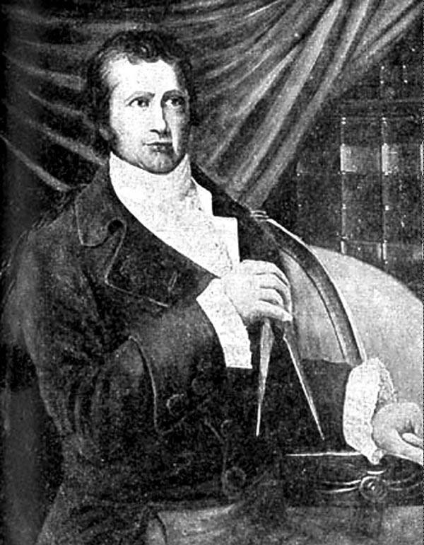
![Wilson Price Hunt (1783-1842)]()
Wilson Price Hunt (1783-1842)
In 1809, John Jacob Astor selected Wilson Price Hunt to be his St. Loui…
Related Historical Records
Map This on the Oregon History WayFinder
The Oregon History Wayfinder is an interactive map that identifies significant places, people, and events in Oregon history.
Further Reading
Arrington, Leonard J. History of Idaho, 2 vols. Moscow, Idaho: University of Idaho Press, 1994.
Brooks, Karl Boyd. Public power, private dams : the Hells Canyon High Dam controversy. Seattle: University of Washington, 2006.
Fiege, Mark. Irrigated Eden: The Making of an Agricultural Landscape in the American West. Seattle: University of Washington, 1999.
Murphy, Robert F, and Youlanda Murphy, "Northern Shoshone and Bannock." Handbook of North American Indians, vol 2., W.L. Azevedo, ed. Washington, D.C.: Smithsonian Institution, 1986.
Palmer, Tim. Snake River: Window to the West. Washington, D.C.: Island Press, 1991.
Shallat, Todd, et. al. Snake: The Plain and its People. Boise, ID: Boise State University, 1994.
Yardley, William. "Obama Follows Bush and Salmon Recovery" New York Times, September 16, 2009.