Shortly after Samuel Boardman became Oregon’s first director of state parks in 1929, he received a proposal for a park along the north coast. Helen Drollinger, who owned land on the coast, wrote Boardman proposing a new park and suggesting that Sam Reed, the founder of the town of Neahkahnie, would contribute some of his land on Neahkahnie Mountain. During the next ten years Boardman acquired the land that became Oswald West State Park. The park embraces 2,474 acres from the south slope of Neahkahnie Mountain to the north slope of Arch Cape. Five miles of coastline in the park span the border between Tillamook and Clatsop counties.
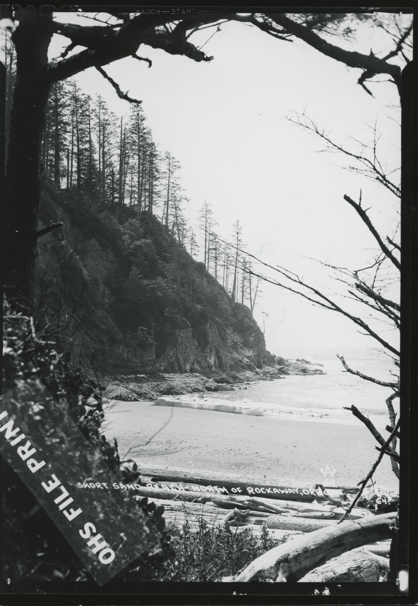
Oswald West State Park has inspired wonder and offered respite for centuries. At Short Sand Beach, which stretches a quarter-mile along a cove framed by two headlands, archaeologists have found evidence that Tillamook and Clatsop people spent time on the beach. Early white travelers often rested at Short Sand on their way north to Astoria or south to Tillamook. By the early twentieth century, urban tourists used the beach for picnics and other recreation. Beginning in the 1970s, Short Sand became a destination for surfers seeking its dependable breaks.
Just north of Short Sand, Cape Falcon extends almost a mile into the ocean. Early maps identify the cape as False Tillamook Head because it acted as a warning to sailors of danger as they approached the Columbia River bar. The cape also protects the cove from northwest winds, making it an overnight haven for small ships and, according to legend, an occasional landing point for smugglers.
Old-growth forest covers the landscape east of Short Sand Beach, one of the few remaining stands of ancient spruce and cedar on the Oregon coast.
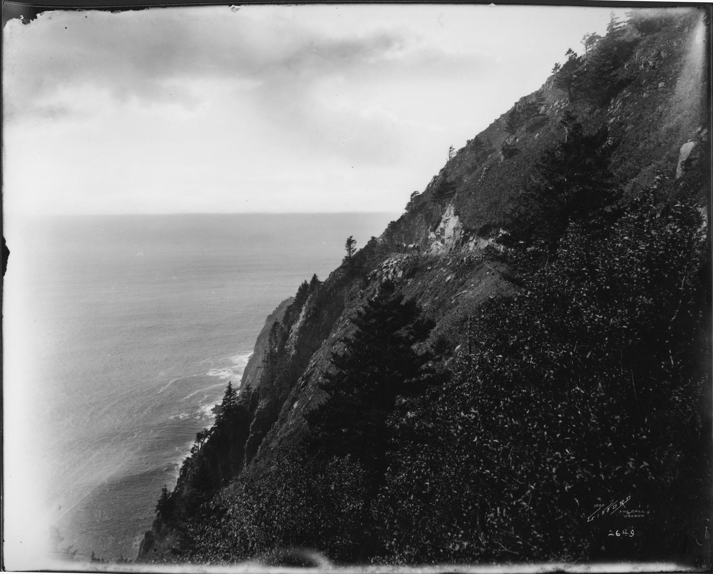
Neahkahnie Mountain rises 1,700 feet from the shoreline, the highest headland on Oregon’s north coast. Native people viewed the mountain as home to sacred spirits. Early white settlers respected its treacherous trails, as described in Don Berry's novel Trask. Sheep grazed the south slopes for eighty years, until 1942, leaving the hillside barren of trees. Tall stands of Sitka spruce on the mountain are evidence of the hardy growing conditions on the Oregon coast.
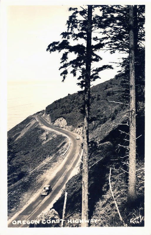
In 1940 and 1941, the Civilian Conservation Corps built hiking trails in the park. Thirteen miles of trails lead over Neahkahnie, along the beach, out to Cape Falcon, and over Arch Cape. Shorter trails take hikers from the parking lots on Highway 101 to the beach. Also during 1941, engineers completed the highway cut into the oceanside cliffs of Neahkahnie Mountain. The Neahkahnie roadway includes seven viewpoints, which thousands of travelers visit each year. Rock walls built in 1941 frame the vistas.
Oswald West State Park was originally called Short Sand Beach State Park. The State Parks Commission changed the name in 1956 to honor the governor who helped preserve Oregon’s coastline for public access.
-
![]()
Short Sand Beach, Oswald West State Park.
Courtesy Oregon Hist. Soc. Research Lib., Orhi17673
-
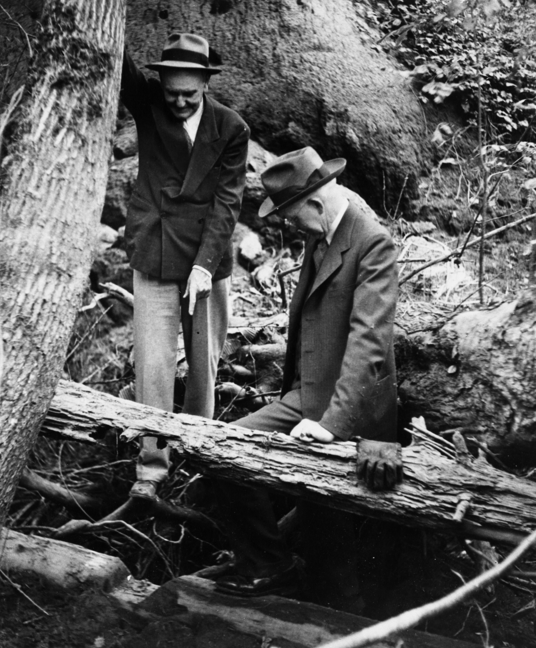
![Oswald West (r) inspecting foundation of Gervais mill.]()
West, Oswald, inspecting Gervais Mill, 1, bb005790.
Oswald West (r) inspecting foundation of Gervais mill. Oreg. Hist. Soc. Research Libr., bb005790
Related Entries
-
![Neahkahnie Mountain]()
Neahkahnie Mountain
Neahkahnie Mountain, about twenty miles south of Seaside, is a prominen…
-
![Oregon Beach Bill]()
Oregon Beach Bill
Oregonians struggling to maintain public access to Pacific Ocean beache…
-
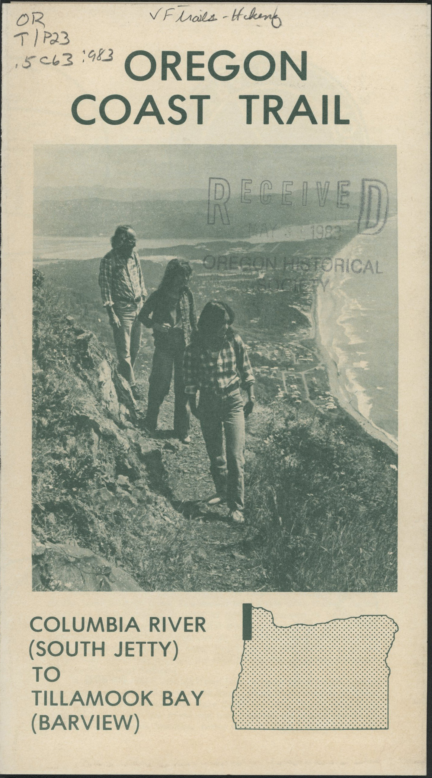
![Oregon Coast Trail]()
Oregon Coast Trail
Winding for 382 miles along the Oregon Coast, the Oregon Coast Trail is…
-
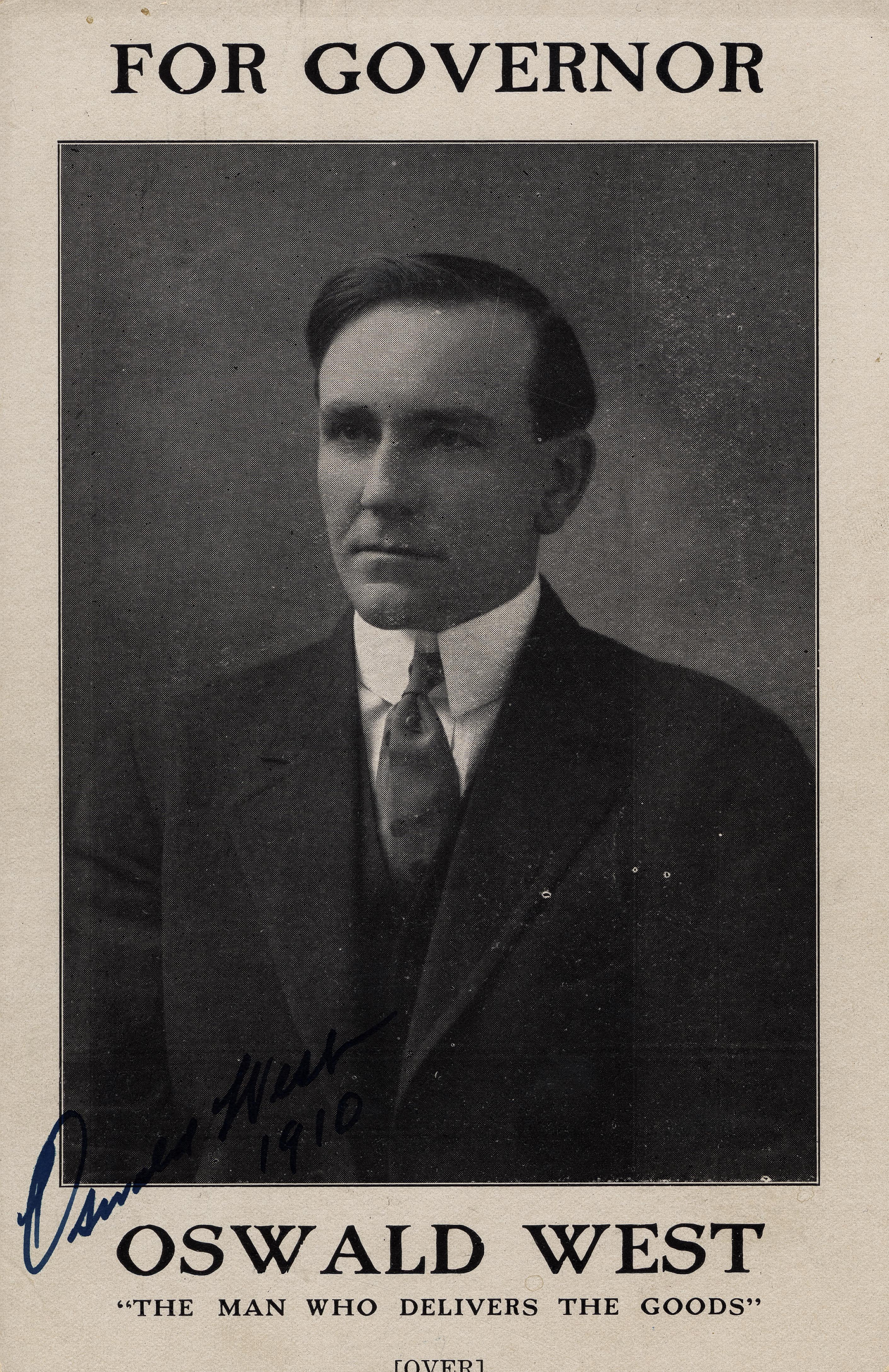
![Oswald D. West (1873-1960)]()
Oswald D. West (1873-1960)
Oswald D. West served as Oregon's fourteenth governor, between 1911 and…
-
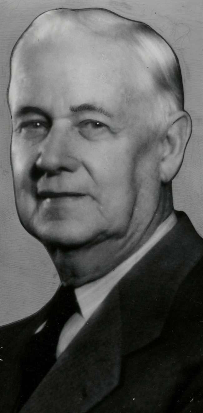
![Samuel H. Boardman (1874-1953)]()
Samuel H. Boardman (1874-1953)
As the first state parks superintendent in Oregon, serving from 1929 to…
-
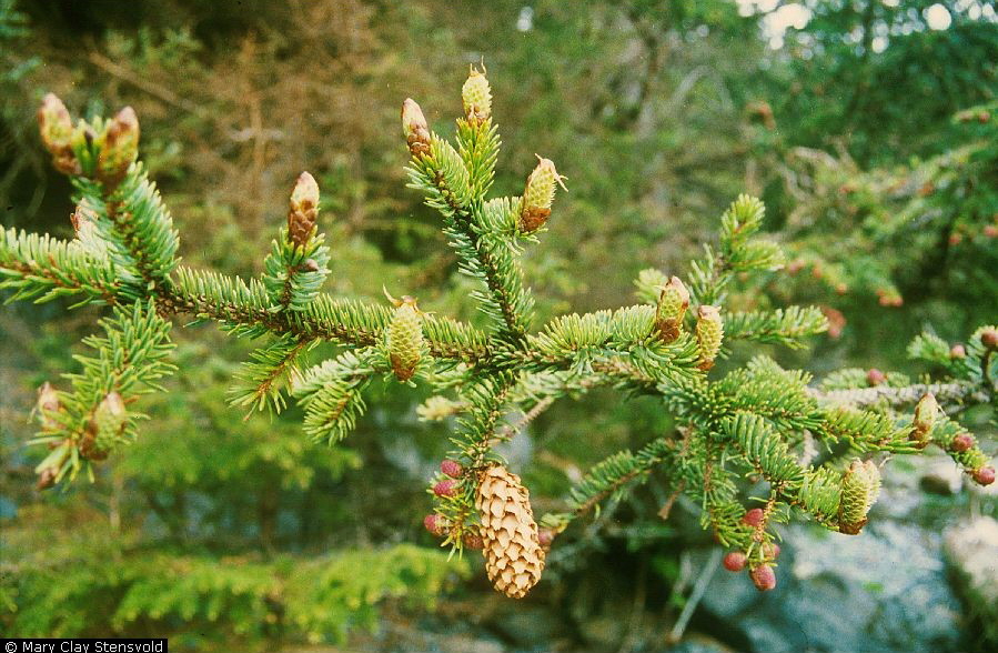
![Sitka spruce]()
Sitka spruce
Sitka spruce (Picea sitchensis) is also known as the coast or tidewater…
-
![US 101 (Oregon Coast Highway)]()
US 101 (Oregon Coast Highway)
Many places on the Oregon coast were virtually inaccessible in the earl…
Related Historical Records
Map This on the Oregon History WayFinder
The Oregon History Wayfinder is an interactive map that identifies significant places, people, and events in Oregon history.
Further Reading
Armstrong, Chester. Oregon State Parks History: 1979-1963. Salem: Oregon State Highway Dept, 1965.
Beach, Mark. "Oswald West State Park." neahkahnievisions.smugmug.com/Places/Oswald-West-State-Park.