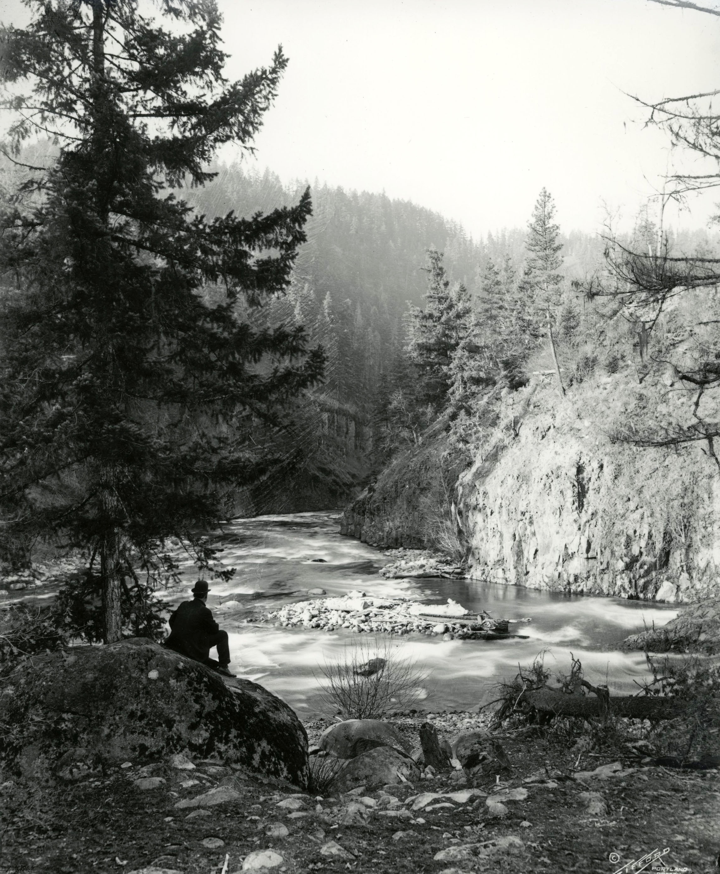
For over a century, the Rogue River National Forest has filled an important role in the economic development, watershed management, and recreational uses of southwestern Oregon. The forest, which in 2003 consisted of about 632,000 acres, embraces most of the higher-elevation lands of the upper Rogue River watershed.
The land base of the Rogue River National Forest includes almost 420,000 acres in Jackson County; the remainder is distributed among adjacent counties, including 51,000 acres in Siskiyou County in California. The forest is separated into two distinct mountainous sections by the Rogue River/Bear Creek valley. The east section runs the length of the Cascade Range from near Crater Lake south to the volcanic plateau between Ashland and Klamath Falls. This area includes Mount McLoughlin, the highest peak in southern Oregon; its lower western slopes hold Medford's municipal watershed. The western section encompasses the eastern Siskiyou Mountains, dominated by Mount Ashland, the highest point in Oregon west of the Cascades and the source of Ashland's domestic water supply.
The Rogue River National Forest had as its beginnings a “core area” made up of the 1893 Cascade (South) Reserve and Ashland Forest Reserve, with subsequent large additions (most in the Siskiyous) proclaimed in 1906-1907 by Theodore Roosevelt. Initially named the Crater National Forest in 1907, the name was changed to the Rogue River National Forest in 1932. In 1955, Congress transferred much of the forest’s lower-elevation acreage to the Bureau of Land Management, and its Klamath Ranger District became part of the newly established Winema National Forest in 1961.
In contrast to Oregon's national forests to the north, the lands within the Rogue River National Forest were originally known for their big ponderosa and sugar pines. Douglas-firs were present as well, but the plentiful pines gave the Rogue a distinctive character in western Oregon.
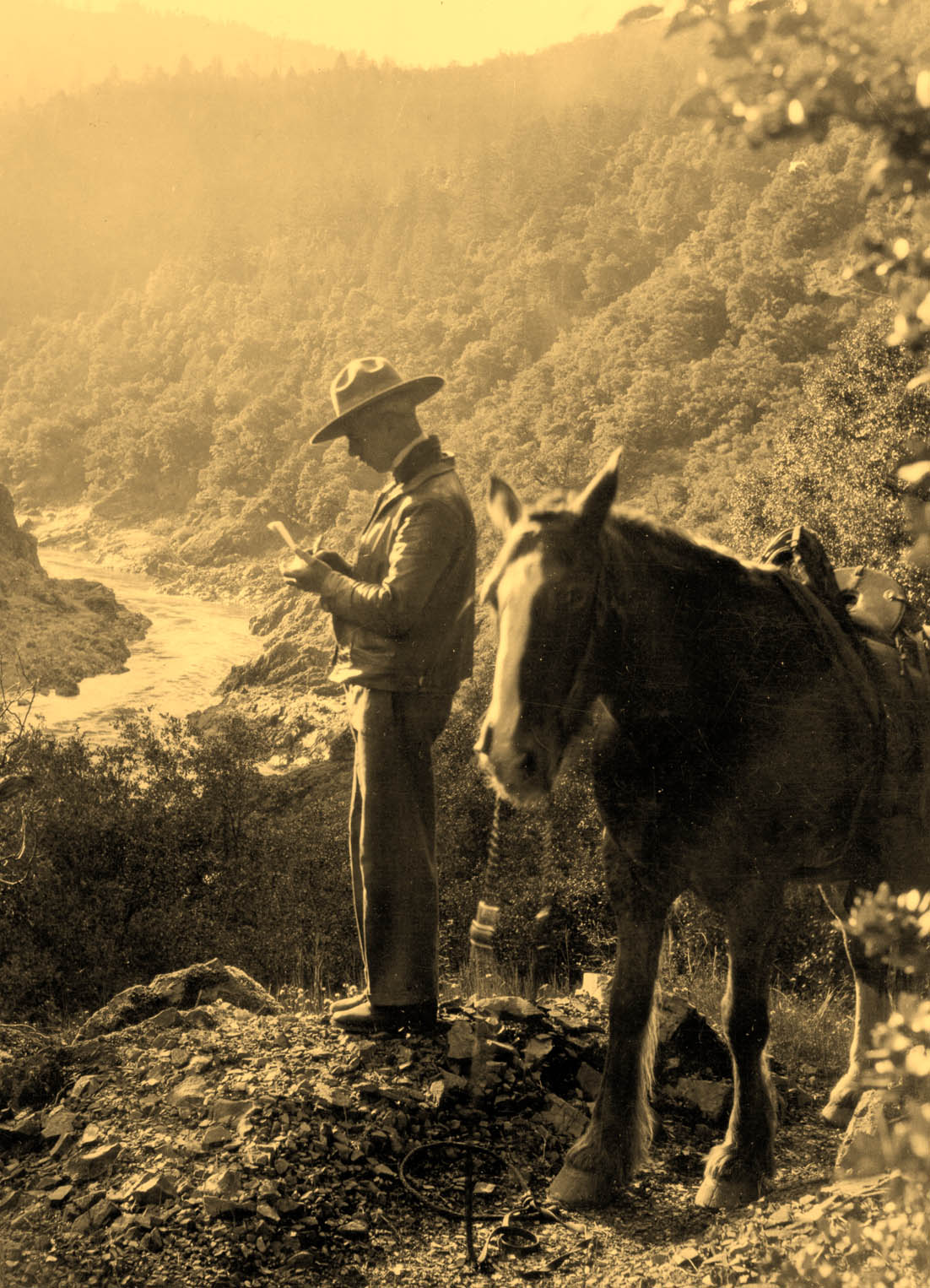
As on most national forests in the West from the 1900s through the 1920s, the rangers in the Rogue River National Forest initially worked primarily on fighting fires and on building trails, cabins, and fire lookouts. With the Pacific-and-Eastern Railroad built from Medford to the small town of Butte Falls by 1911, intensive logging of the pine-and-fir forest of the Big Butte Creek watershed began in the early 1920s. The Forest Service's Fourbit Creek Timber Sale, as it was called, ended during the Great Depression, and the New Deal brought hundreds of Civilian Conservation Corps enrollees to work in the forest.
With World War II and the postwar housing boom, nearly three thousand miles of logging roads were constructed in the Rogue River National Forest. Timber harvests increased dramatically: 24 million board feet in 1940; 99 million board feet in 1950; and 166 million board feet in 1960. Steep mountain slopes that once had been considered inaccessible were logged using skyline-cable systems and helicopters. By 1980, the annual allowable cut for the Rogue River National Forest had risen to over 220 million board feet.
The 1980s brought lawsuits and rancorous public battles over the levels of logging on federal forestlands throughout the Pacific Northwest. The controversy led to the 1994 Northwest Forest Plan and its dramatically reduced harvests on the Rogue River National Forest and elsewhere.
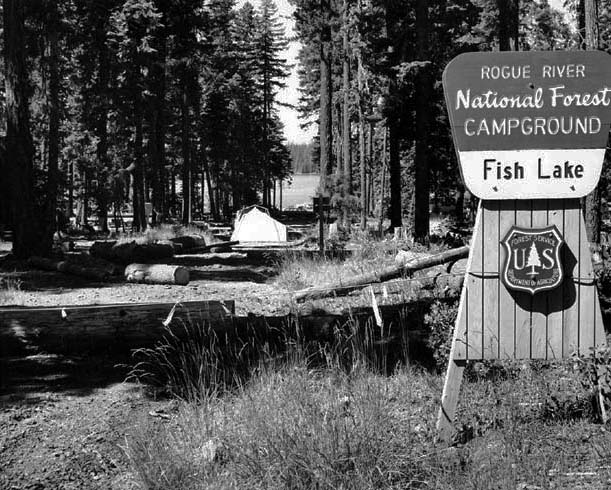
Recreational uses of the forest likewise increased during the postwar boom years, from development of large new campgrounds at Union Creek and Fish Lake (1960s-1970s) to construction of the Mount Ashland Ski Area (1963-1964) and recreational facilities at the Army Corps of Engineers' new flood-control reservoir, Applegate Lake (1970s-1980s).
In 1984, Congress designated three wilderness areas on the Rogue River National Forest: Sky Lakes, Rogue-Umpqua Divide, and Red Buttes. In addition to serving as the source of drinking water for most of Jackson County and irrigation water for its thirsty orchards and fields, the Rogue River National Forest is known for the diversity of its vegetation. The flora ranges from small populations of endemic wildflowers to a wide variety of conifer species, a fact that makes the forest famous among botanists.
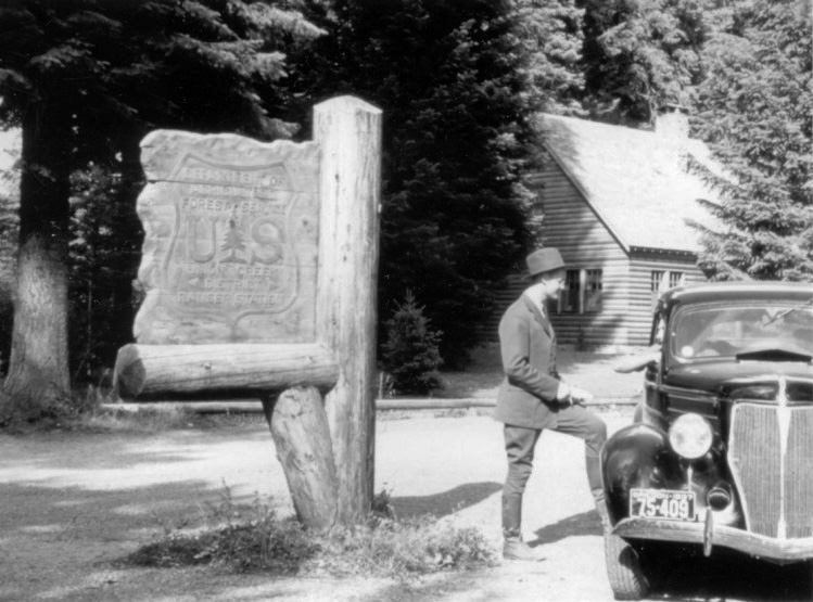
For many years, the Rogue River National Forest was administered as four ranger districts: Prospect, Butte Falls, Ashland, and Applegate. With shrinking budgets during the 2000s, however, that number shrank to two: High Cascades and Siskiyou Mountains. In 2004, the Forest Service combined the Rogue River National Forest with the Siskiyou National Forest, which was more than a million acres in size, to form the Rogue River-Siskiyou National Forest. Grants Pass lost the supervisor's office to Medford, although a satellite office used by both the Forest Service and the Bureau of Land Management remains in that city. The Rogue River-Siskiyou National Forest extends from the crest of the Cascade Range to within sight and sound of the Pacific Ocean.
-
![Rogue River National Forest Campground at Fish Lake, July 1970.]()
RRNF Campground, Fish Lake, Jul 1970.
Rogue River National Forest Campground at Fish Lake, July 1970. Photo J.D. Roderick, U.S. Bureau of Reclamation, P448-100-269
Related Entries
-
![Bear Creek Valley]()
Bear Creek Valley
Oregon has over ninety separate streams named Bear Creek (far more, in …
-
![Mount Ashland]()
Mount Ashland
At 7,532 feet, Mount Ashland is the tallest mountain in Oregon west of …
-
![Mount McLoughlin]()
Mount McLoughlin
Mount McLoughlin, at 9,495 feet, is the lowest in Oregon's chain of six…
-
![Rogue River]()
Rogue River
The Rogue River, Oregon’s third-longest river (after the Columbia and W…
-
![Siskiyou National Forest]()
Siskiyou National Forest
The Siskiyou Forest Reserve was created on March 2, 1907; within two da…
-
![Union Peak and Union Creek]()
Union Peak and Union Creek
Union Peak, rising to an elevation of 7,709 feet, dominates the southwe…
-
![U.S. Bureau of Land Management]()
U.S. Bureau of Land Management
The Bureau of Land Management (BLM) administers over 15.7 million acres…
Related Historical Records
Map This on the Oregon History WayFinder
The Oregon History Wayfinder is an interactive map that identifies significant places, people, and events in Oregon history.
Further Reading
Brown, Carroll E. History of the Rogue River National Forest, 1893-1969, vols. I and II. Medford, Ore.: U.S. Dept. of Agriculture, U.S. Forest Service, 1972.
LaLande, Jeffrey M. Prehistory and History of the Rogue River National Forest: A Cultural Resource Overview. Medford, Ore.: U.S. Dept. of Agriculture, U.S. Forest Service, 1980.