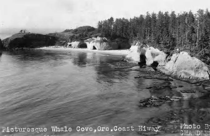
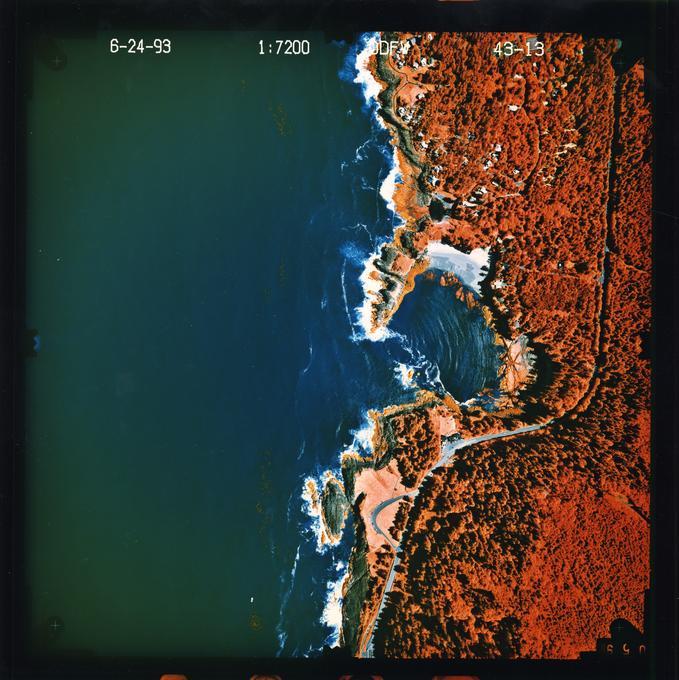
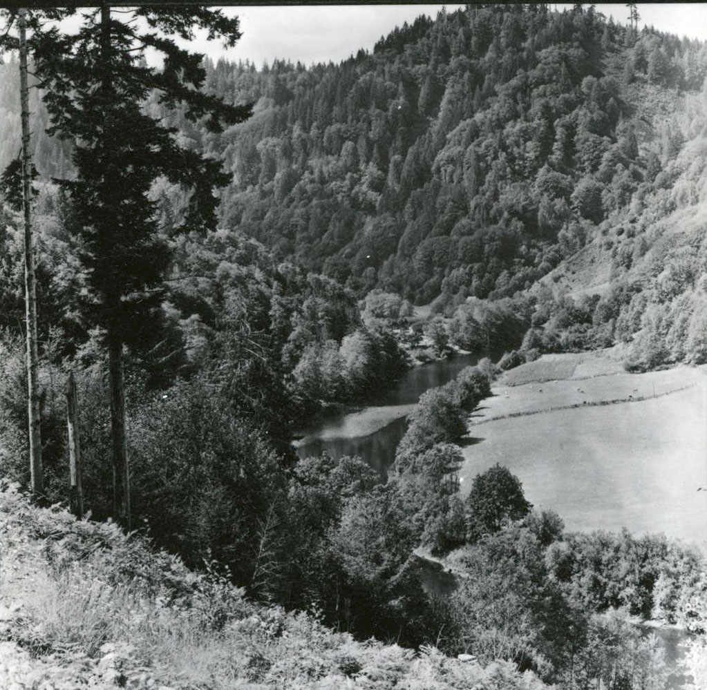
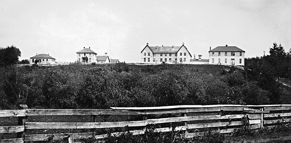
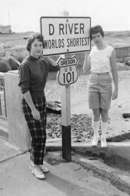
Whale Cove is a small, nonnavigable bay in Lincoln County, approximately a mile and a half south of the town of Depoe Bay. Only about one-third of a mile in diameter, the cove is not mentioned by official coastal pilot guides as a place of refuge for any size vessel. An encircling arm of rough basalt creates the cove’s northern boundary, rendering it sheltered but also hazardous to navigation. Once popular with bootleggers during prohibition, it is now a state-designated Habitat Refuge and the oldest marine reserve in Oregon.
Prior to EuroAmerican settlement in the late nineteenth century, Whale Cove was part of the homeland of the southern Siletz band of Tillamook people, located close to where their territory met that of the Yaquinas to the south. In 1855, it became part of the 1.3-million-acre Coast Reservation, which the U.S. government established to hold more than four thousand people from different tribes who were forcibly removed from western Oregon and northwestern California.
Because of increasing interest by EuroAmerican settlers in the coastal region, the government opened the majority of these reservation lands for settlement beginning in the 1860s. Tribal members received private allotments of land within the former reservation boundary, especially after passage of the Dawes Act in 1887. Among those receiving allotments were John Kelsay, who became owner of the southern part of Whale Cove; Alsea Mack, whose allotment included the next portion to the north; Frank Selsig, whose portion included the northern rim of the cove; and Norman Strong, whose allotment to the north covered Little Whale Cove and much of the headland.
Ben Jones, known as the father of Lincoln County for his successful 1893 effort to get legislation passed to create it, purchased Strong’s holding in 1923. He subsequently sold it to his brother Thomas, whose daughter’s family farmed at the edge of Whale Cove. Bertrand E. Maling, a food-processing magnate, purchased 225 acres in the area from the Native holder in the early 1930s. His purchase included much of Whale Cove, where he built some guest cabins. After his death in 1942 and his wife Myrtle’s death in about 1956, the property changed hands several times. Halvorson-Mason Contractors of Portland bought the Whale Cove and Little Whale Cove land in 1976 to build individual homes. Local legend atributes the name of the cove to whale harvesting by local tribes.
Whale Cove, also known as Bootlegger Bay, acquired an outsized reputation during Prohibition. Isolated, not too far from Portland, but small and dangerous for mariners, the cove was perfect for rumrunners smuggling Canadian whiskey into the Northwest. In 1925, surveyors working in Whale Cove uncovered a cache of 220 sacks of Scotch whiskey, which had been landed on the beach by boat and hoisted up the cliff by cable so it could be transported by automobile to Portland. The Lincoln County sheriff destroyed all 681 gallons of the whiskey in 1928 by pouring it into the Siletz River, eight miles north of Whale Cove.
The most colorful bootlegging incident occurred on February 7, 1932. The Canadian ship Sea Island, out of Victoria, British Columbia, wrecked on rocks in Whale Cove and caught fire while trying to land a large load of alcohol. The captain and the two crew members escaped in a stolen car provided by the shore gang, but it overturned. The crew then caught a bus for Portland, where they were arrested and returned for trial to the Lincoln County jail, then in Toledo.
Officials found more than three thousand gallons of bourbon, Scotch, and rum the crew had buried in the sand. Lincoln County Sheriff Ted McElwain locked up the confiscated alcohol in the same jail where the crew was being held. In a spectacular rescue, an Oregon “liquor racket” led by Paul Remaley broke into the jail on March 19, 1932, liberated the Canadian crew and the booze, and headed for Portland. They were arrested near Grand Ronde as they transferred fuel from one van to another. The men were placed on trial, but when Prohibition was repealed on December 5, 1933, the men were freed and the trial was never concluded.
Whale Cove has another possible claim to fame, though a dubious one. The Drake in Oregon Society has for decades held a speculative theory that Sir Francis Drake used Whale Cove as his careening spot during his voyage north along the Pacific Northwest Coast in 1579. The location where Drake grounded his ship, the Golden Hinde, for maintenance has never been decisively determined, although the National Park Service in 2012 created Drakes Bay Historic and Archaeological District in Point Reyes National Seashore to commemorate it as the “most likely site.”
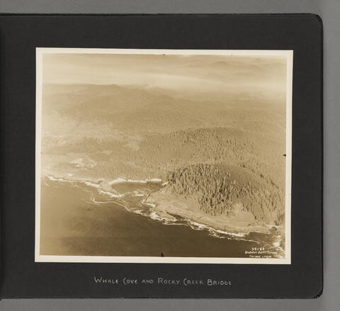
Rocky Creek State Scenic Viewpoint, a 58.6-acre state park perched on a forested bluff overlooking the ocean, protects part of Whale Cove’s southern flank. The northern crescent of the Cove became part of Oregon Islands National Wildlife Refuge in December 2014, after Bryce and Beebe Buchanan sold the 13.9-acre property, which they had bought to protect it from a high-density development, to the Federal Highway Administration and the Oregon Parks and Recreation Department for $1.1 million. All marine life, including nesting seabirds and harbor seals, are protected year-round.
-
![]()
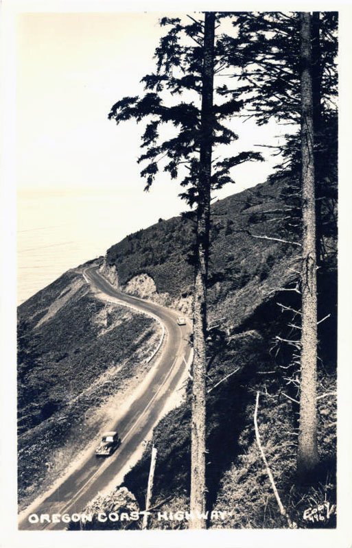
Whale Cove, Oregon Coast, 1940.
Courtesy Lincoln County Historical Society Archive, Oregon State University. "Whale Cove, OR Coast Hwy." Oregon Digital -
![]()
Whale Cove to Beverly Beach, 1993.
Courtesy 1993 ODFW Oregon Rocky Shore Aerial Photography Survey, Oregon State University. "Whale Cove to Beverly Beach" Oregon Digital -
![]()
Whale Cove and Rocky Creek Bridge, c.1930.
Oregon Historical Society Research Library, Digital Collections, OrgLot1424_Album452_028
Related Entries
-
![Alsea (Alcea)]()
Alsea (Alcea)
Alsea is an unincorporated community of about two hundred residents in …
-
![Alsea Subagency of Siletz Reservation]()
Alsea Subagency of Siletz Reservation
In September 1856, Joel Palmer, the Superintendent of Indian Affairs fo…
-
Coast Indian Reservation
Beginning in 1853, Superintendent of Indian Affairs Joel Palmer negotia…
-
![Lincoln City]()
Lincoln City
Early in the twentieth century, a string of small beach towns with thei…
-
![US 101 (Oregon Coast Highway)]()
US 101 (Oregon Coast Highway)
Many places on the Oregon coast were virtually inaccessible in the earl…
Related Historical Records
Map This on the Oregon History WayFinder
The Oregon History Wayfinder is an interactive map that identifies significant places, people, and events in Oregon history.
Further Reading
Allyn, Stan. “Rumrunners Lose Police Bout.” Capital Journal, February 6, 1964.
“Siletz Indian Reservation & Original Allotments 1892” (map). Confederated Tribes of Siletz Indians. Map available at: Reservation Maps.
“Whale Cove Protected as part of Oregon Islands National Wildlife Refuge thanks to a diverse partnership.” HMSC Currents (Oregon State University’s Hatfield Marine Science Center blog, archived), January 26, 2015.
“Big Booze Cache Gone Forever.” Lincoln County Leader, April 12, 1928.
“Twice-Seized Rum Reaches Portland. Liquor Shipment Brought Here by Officers. Runners’ Boat Burns.” Sunday Oregonian, March 27, 1932.
“Liquor Sacks Recovered. Value of Whale Cove Find Placed at $18,000 in Portland.” The Morning Oregonian, Friday, August 6, 1926.
Sunday Oregonian. “Whisky Goes Into River. Hi-jackers thwarted by Dumping Liquor Into Siletz.” April 8, 1928.
“Site of Sir Francis Drake’s Ship Grounding Honored At Point Reyes National Seashore.” National Park Traveler, October 14, 2016. Available at: https://www.nationalparkstraveler.org/2016/10/site-sir-francis-drakes-ship-grounding-honored-point-reyes-national-seashore
U.S. Department of Commerce, National Oceanic and Atmospheric Administration (NOAA), National Ocean Service. United States Coastal Pilot 7: Pacific Coast: California, Oregon, Washington, and Hawaii (Twenty-fifth ed). U.S. Government Printing Office, Washington, D.C. 1989.
Weeber, Jodi. “A History of Little Whale Cove.” Undated booklet in the Lincoln County Historical Society Collection.

