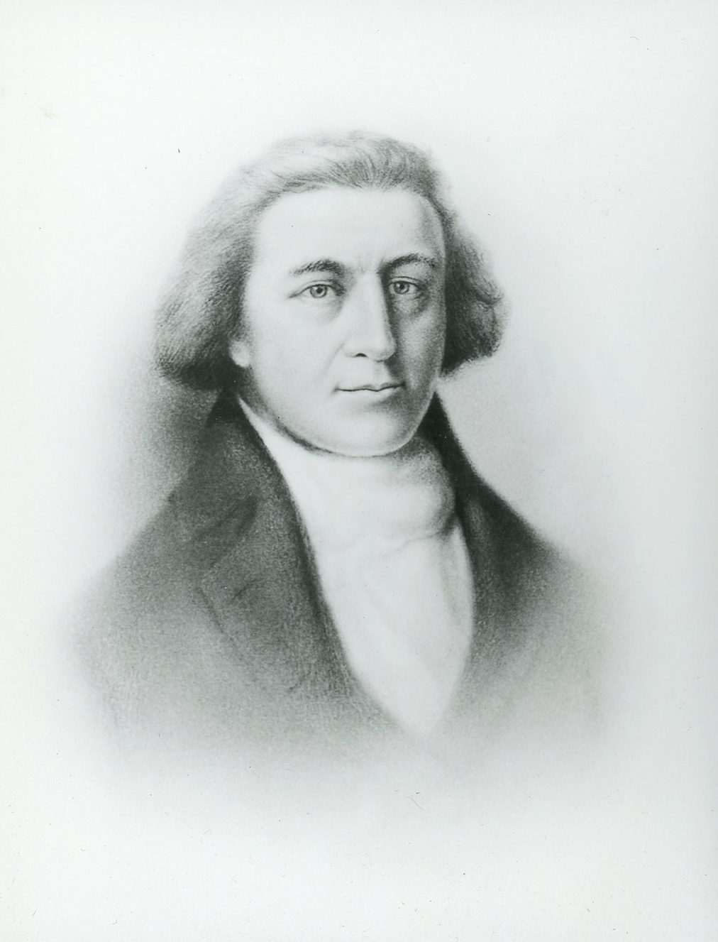
John Box Hoskins served as a clerk on the Columbia Rediviva, captained by Robert Gray, during a voyage to the Pacific Northwest from 1790 to 1793. He created the earliest known American-made map of the region, and his incomplete manuscript, Narrative, is one of four surviving accounts of that voyage.
We know few details of Hoskins’s life before he began his career in the Boston merchant house of Joseph Barrell, a principal owner of the Columbia. His father, who was involved in maritime commerce and shipbuilding before the Revolutionary War, was friends with Barrell, a wealthy ship owner and importer. John Hoskins was eighteen years old when his father died in 1786, and Barrell brought him into the business.
Barrell financed the initial voyage of the Columbia Rediviva, which traded in the Pacific Northwest during the first circumnavigation by an American ship from 1787 to 1790. Although Hoskins was not on that voyage, presumably he received an education in maritime commercial accounting and perhaps map-making during those years. He certainly earned the confidence of his employer. Prior to the Columbia’s second voyage in search of profit from the maritime fur trade, Barrell instructed Hoskins to “give us a faithful account of all transactions.”
In his Narrative, Hoskins mentions making maps of two harbors (neither map has survived) and his concern that his only reference maps were from “the late Capt. Cook whose voyages give little or no information respecting the greater part of the trading coast.” This comment reflected an opportunity that maritime fur traders hoped to capitalize on. Due to poor weather conditions, Cook had been unable to make observations of large stretches of the Pacific Northwest coast from approximately 45° to 48° (from Lincoln City to the Olympic Peninsula) and from 50° to 56° (from upper Vancouver Island to Sitka Sound). Every subsequent ship captain hoped to encounter unknown fur-trading Native communities along these uncharted sections of the coast.
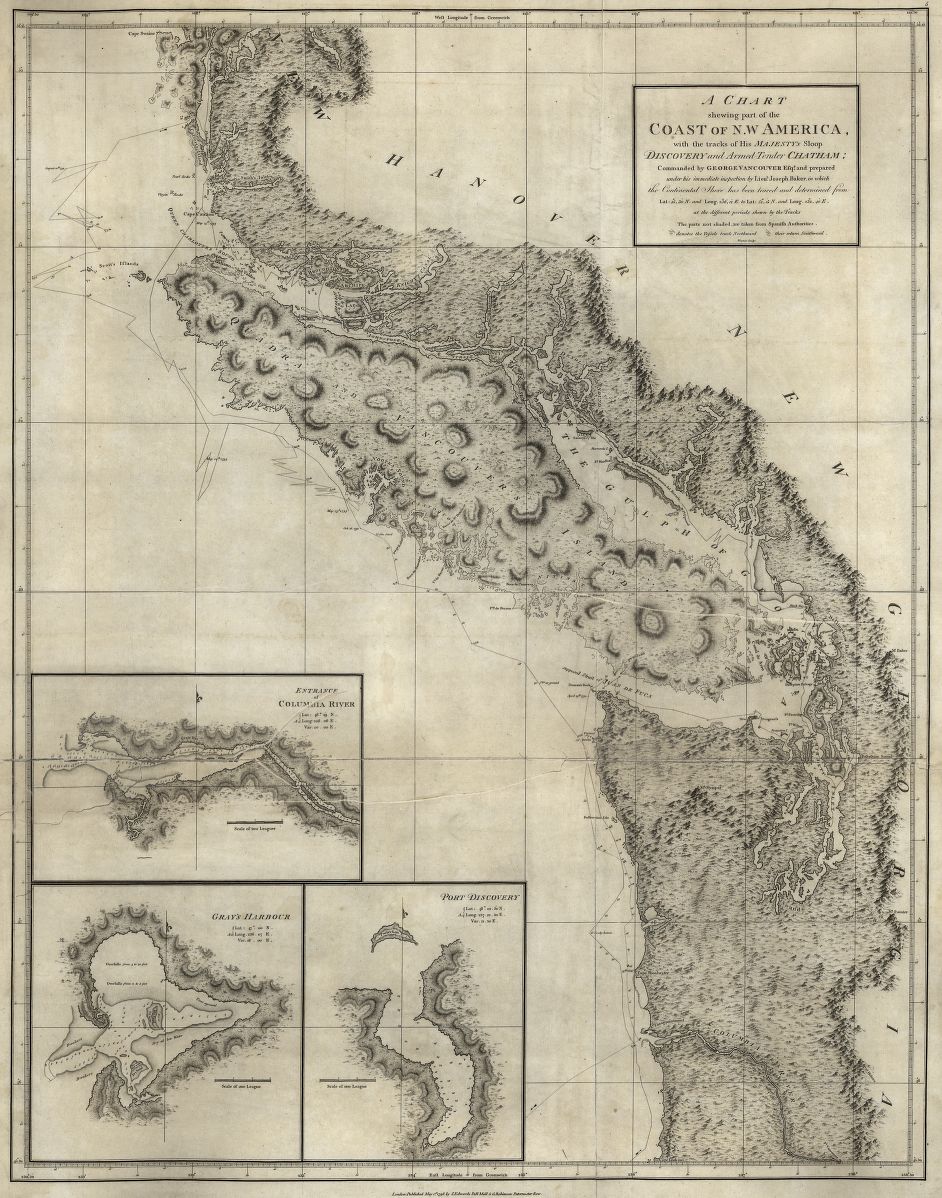
Hoskins probably finished “A Chart of the Northwest Coast of America Sketched on Board the Ship Columbia Rediviva by John Hoskins 1791 & 1792” shortly after returning to Boston. The map measures thirty-seven by twenty-five inches and includes coastal features from Norfolk Sound (now Sitka Sound, Alaska) at 57°10" in the northwest to Cape Orphod (Cape Orford, Oregon) at 42°50" to the southeast. Hoskins drew the map on a Mercator projection with careful delineation of scale, coordinates, coastal features, and artfully rendered lettering. Topographical representation derived from combinations of Hoskins’s direct observations, reports from shipmates, and conjectural knowledge based on the long-standing belief in a water passage across the American continent.
At approximately 46°12", Hoskins used bold lettering to locate Columbia’s River, the name bestowed by Robert Gray when he explored approximately forty miles upriver from May 11 to May 29, 1792. Hoskins illustrated a sandbar at the entrance to the river and used dotted lines to indicate the ship’s tracks. His sketch of the river’s features closely aligns with the only extant copy of Gray’s manuscript of Columbia’s River. Together, Hoskins’s and Gray’s maps are the first to apply this name and the first to illustrate any direct river course beyond the estuary from firsthand observations by Anglo Americans. The only earlier cartographic documentation of the river was Spanish mariner Bruno de Hezeta’s manuscript map of his off-shore sighting of the river’s mouth in August 1775. Hoskins also carefully located and named four prominent fur-trading communities along the upstream river with whom the Americans interacted: the Chenoke (modern Chinook) and Wahkiecum (Wahkiakum) on the north bank; Catlahmat (Cathlamet) and Tlatsappa (Clatsop) on the south bank.
On his full map, Hoskins identified nearly half of the coastal locations by place-names of Native origin that represented distinct tribal groups and language families. In documenting the extensive and diverse Native presence, Hoskins’s map is unique among manuscript and published maps of the period.
Because the voyage of the Columbia to the Pacific Northwest was a privately financed commercial enterprise, the owners of the ship retrieved Hoskins’s journal and maps and never published them. His map was intended to be an economic document, and it served no purpose when Barrell did not send another ship to the Pacific Northwest. And with the publication in 1798 of the meticulous coastal surveys of George Vancouver’s expedition, Hoskins’s map had no lasting navigational utility. Mention of the map resurfaced briefly in 1852 during a congressional inquiry on the petition of Robert Gray's wife, Martha, and others seeking compensation and tracts of land in the Oregon Country related to family members' service during the second voyage. When the claim was dismissed, the map and petition documents languished in storage. The map was eventually re-filed in the National Archives, where it remained until it was noticed by Ralph Ehrenberg, who was part of the Cartographic Archives Division.
After returning to Boston in 1793, Hoskins married and had two children. To our knowledge he drafted no other maps. He remained in the maritime merchant business in Boston until about 1804, when as a widower he moved to Bordeaux, France, where he remarried. Little is known about his subsequent career. John Hoskins died near Paris in July 1824.
-
![Full journal here: https://digitalcollections.ohs.org/the-journal-of-a-voyage-around-the-world-by-john-hoskins-in-the-ship-columbia-rediviva]()
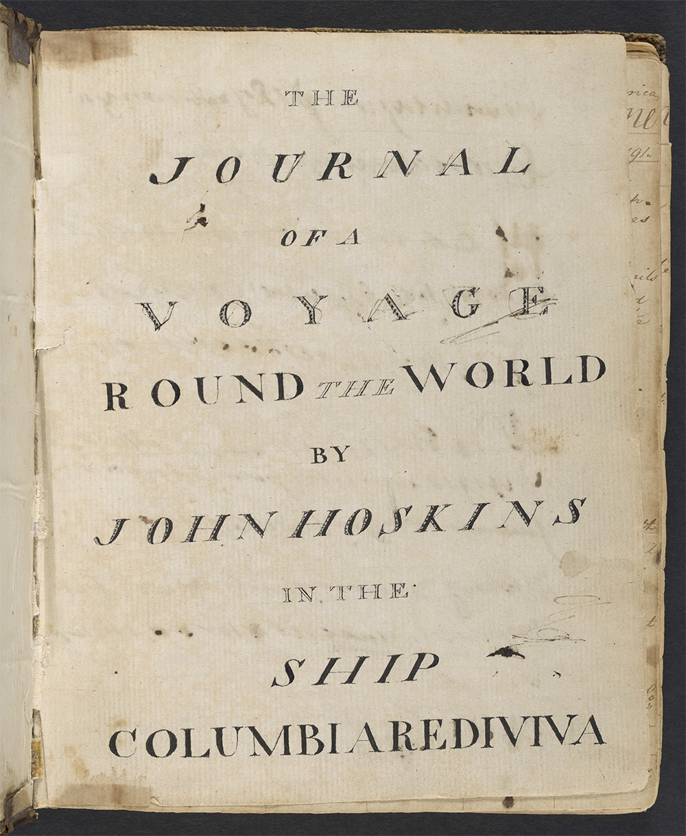
Title page of Hoskins's Journal of a Voyage Around the World, 1791-1792.
Full journal here: https://digitalcollections.ohs.org/the-journal-of-a-voyage-around-the-world-by-john-hoskins-in-the-ship-columbia-rediviva Oregon Historical Society research Library, Mss957, Box 1, folder 9
-
![]()
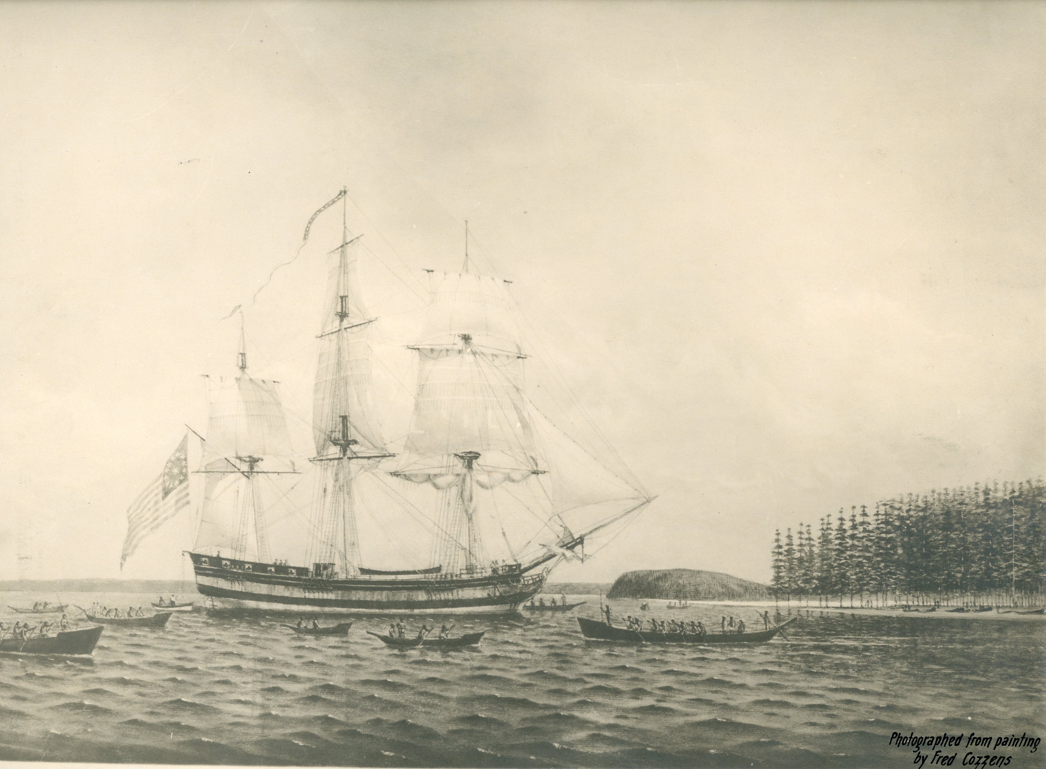
Columbia Rediviva.
Courtesy Oregon Hist. Soc. Research Lib., 126
-
![]()
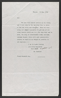
Typescript letter from John Hoskins to Joseph Barrell, Dec. 15, 1792.
Oregon Historical Society research Library, Mss957, Box 1, folder 2
-
![See full letter: https://digitalcollections.ohs.org/letter-from-joseph-barrell-to-john-hoskins]()
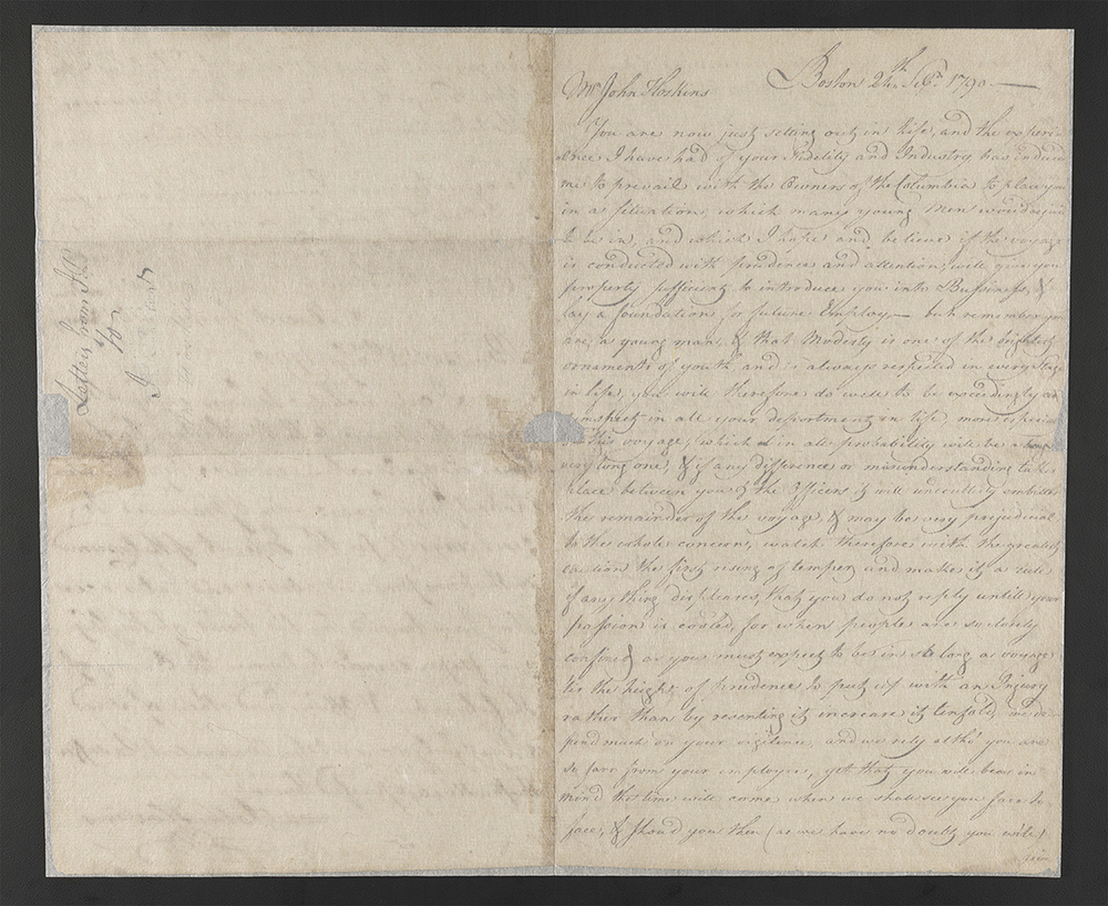
Letter from Joseph Barrell to John Hoskins, 1790.
See full letter: https://digitalcollections.ohs.org/letter-from-joseph-barrell-to-john-hoskins Oregon Historical Society research Library, Mss957, Box 2, folder 1
-
![]()
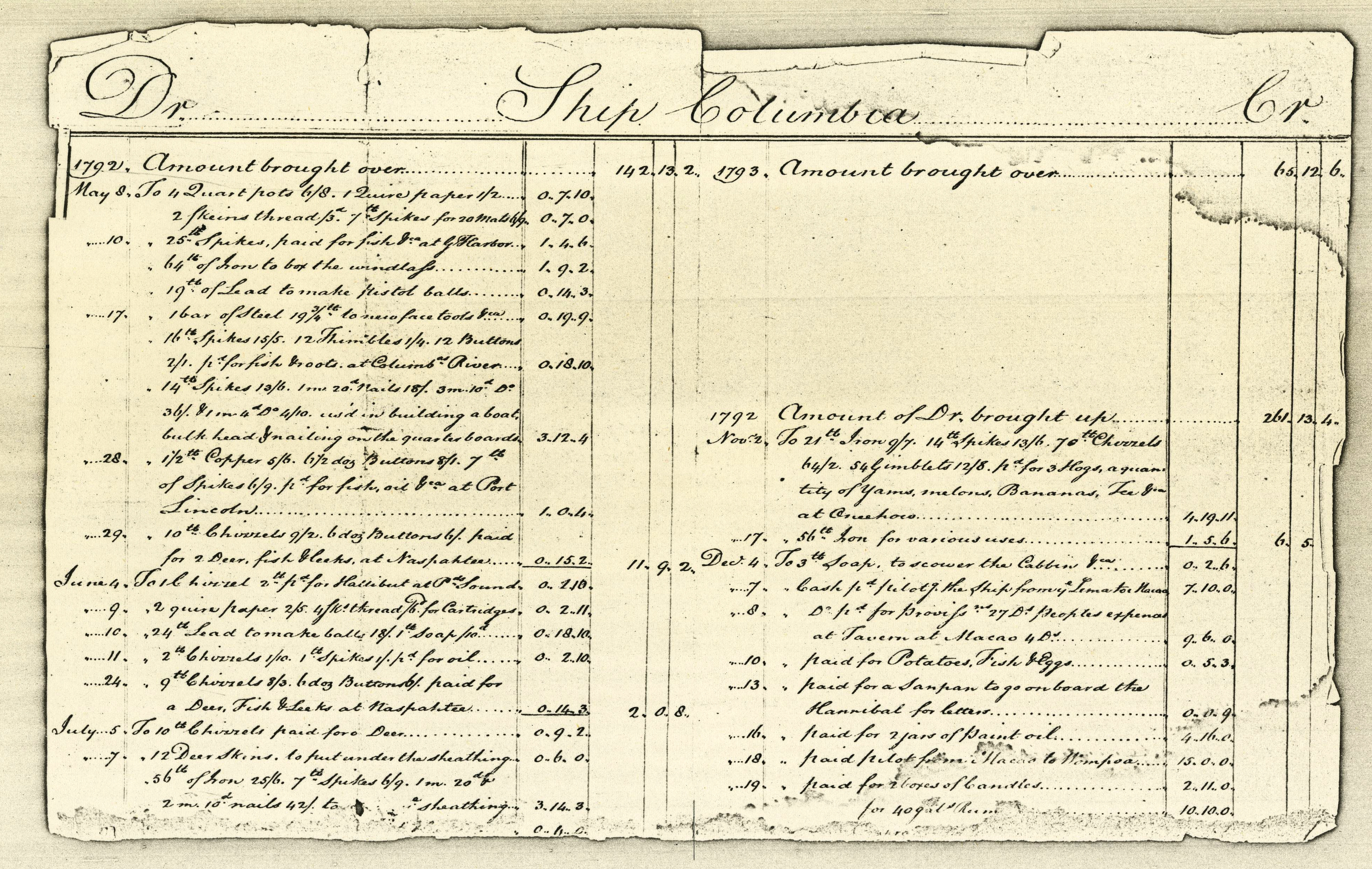
Accounting receipt from the Columbia Rediviva, 1792.
Courtesy Oreg. Hist. Soc. Research Library, Mss 957
Related Entries
-
![Cartography of Oregon, 1507–1848]()
Cartography of Oregon, 1507–1848
The cartographic history of Oregon as a place in the Pacific Northwest …
-
![Columbia River]()
Columbia River
The River For more than ten millennia, the Columbia River has been the…
-
![George Vancouver (1757-1798)]()
George Vancouver (1757-1798)
The role George Vancouver played in Oregon history is tangential, yet i…
-
![Robert Gray (1755–1806)]()
Robert Gray (1755–1806)
On May 11, 1792, Robert Gray, the first American to circumnavigate the …
Related Historical Records
Map This on the Oregon History WayFinder
The Oregon History Wayfinder is an interactive map that identifies significant places, people, and events in Oregon history.
Further Reading
Howay, Frederic W., ed. Voyages of the Columbia to the Northwest Coast 1787-1790 &1790-1793. Portland: Oregon Historical Society Press in cooperation with The Massachusetts Historical Society, 1990.
Walker, James V., and William L. Lang. “The Earliest American Made Map of the Northwest Coast. John Hoskins’s A Chart of the Northwest Coast of America Sketched on Board the Ship Columbia Rediviva…1791 & 1792.”Oregon Historical Quarterly 118:2 (Summer 2017), 162-197.