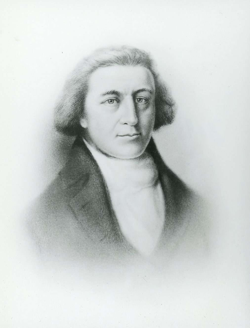
Bruno de Hezeta y Dudagoitia, a Spanish naval officer, commanded an expedition in March 1775 whose mission was to explore and extend Spanish hegemony to the Pacific Northwest.
On August 17, 1775, Hezeta became the first to map and record a written description of the entrance to the Columbia River at observed latitude of 46° 11´: "a large bay that I named Bahia de la Asunción." Hezeta's map names Cavo de San Roque, which corresponds to today's Cape Disappointment (actual latitude 46º 17´), and Cavo Frondoso, which corresponds to Point Adams or Tillamook Head. Hezeta wrote: "These currents and the seething waters [lead me] to believe that [the bay] may be the mouth of some great river or some passage to another sea."
Unable to enter the bay because the crew was suffering from scurvy, the expedition returned to San Blas, Mexico. Six journals of the expedition, including Hezeta's, were sent to Madrid, although the Spanish policy of secrecy prevented publication of Hezeta's discovery.
Hezeta had a distinguished military career, but he never returned to the Pacific Northwest. Heceta Head and Heceta Banks are named after him.
-
![Built in 1975]()
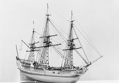
Model of Hezeta's Flagship, Santiago.
Built in 1975 Courtesy Oreg. Hist. Soc. Research Library, OrHi45008
-
![]()
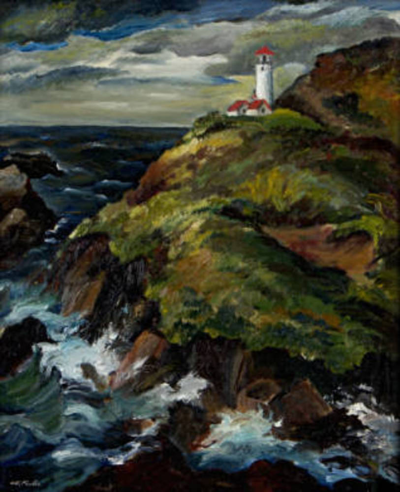
"Heceta Lighthouse, Oregon Coast," by Constance Fowler, c. 1938.
Hallie Ford Museum of Art, Willamette University
-
![]()
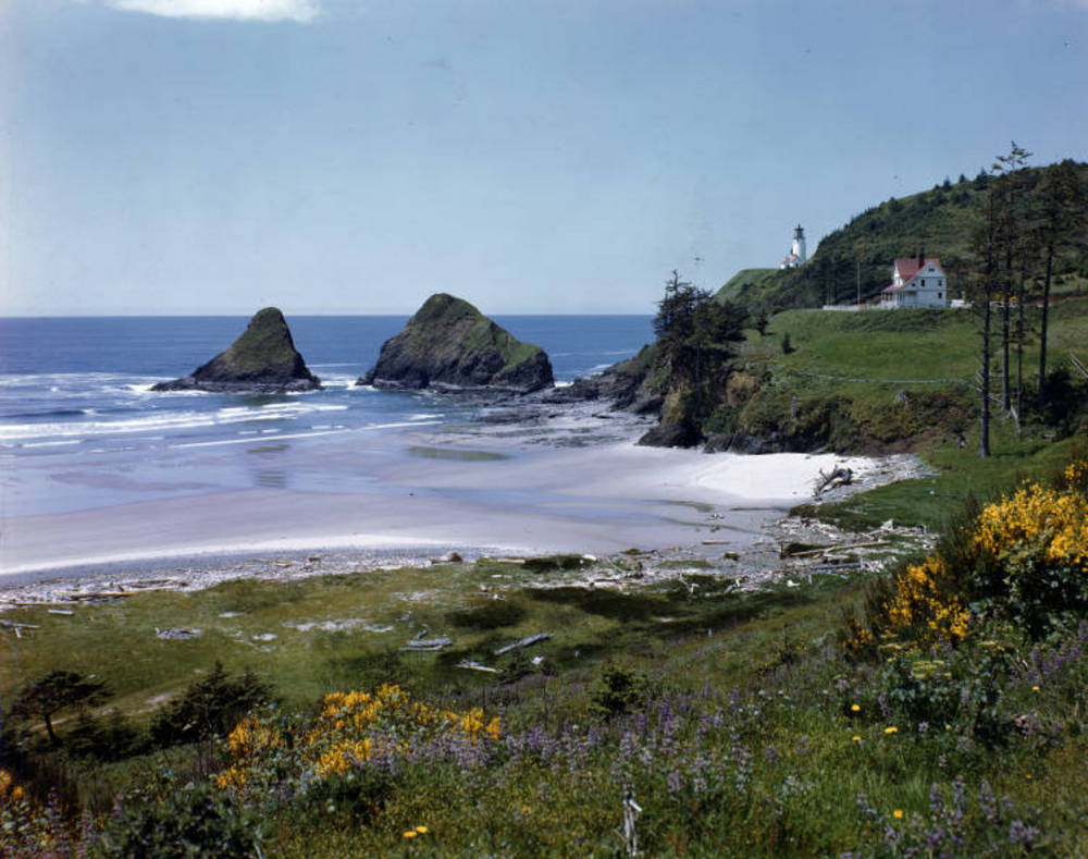
Heceta Head, 1940.
Oreg. State Univ. Archives, Gifford Photo Coll., P218:RIG
Related Entries
Related Historical Records
Map This on the Oregon History WayFinder
The Oregon History Wayfinder is an interactive map that identifies significant places, people, and events in Oregon history.
Further Reading
Beals, Herbert K., ed. and trans. For Honor and Country: The Diary of Bruno de Hezeta. Portland: Western Imprints, 1985.
Cook, Warren L. Flood Tide of Empire, Spain and the Pacific Northwest, 1543-1819. New Haven: Yale University Press, 1973.
Cutter, Donald C. "Spain and the Oregon Coast," in The Western Shore Oregon Country Essays. Portland: Durham and Downey, 1972.
Wagner, Henry R. The Cartography of the Northwest Coast of America to the Year 1800. 2 vols. 1937. Reprint, Mansfield Centre: Martino Publishing, 1999.