Banks is a small town about twenty-five miles west of Portland. The seeds of the community were sown in the mid nineteenth century, when white settlers began arriving in what is now western Washington County.
The area that is now western Washington County was originally inhabited by the Atfalati, or Tualatin, tribe of the Kalapuya people. The arrival of EuroAmerican settlers and the new diseases they introduced greatly reduced the Atfalati's numbers, and the remaining members were forced onto the Grand Ronde Reservation near McMinnville in 1855.
Peyton and Anna Wilkes, who took up a Donation Land claim in 1847 in what is now Banks, are considered the first White settlers in the area. The land was ideal for farming in the Tualatin River Valley, and a community developed around the Wilkes property. In the 1860s, the town was named Wilkes. In the 1890s, the Wilkes land was sold to the Schulmerich and Banks families.
In 1901, news reached the region that the Pacific Railway and Navigation Company would be building a railroad through John Banks’s dairy farm in Wilkes, bypassing the nearby town of Greenville. In response, the entire town of Greenville—including a post office, a school, businesses, and the homes of many residents—was relocated closer to Wilkes to take advantage of the boom the railroad was sure to provide. The post office was renamed Banks, and the new town took the same name.
The town voted to incorporate in the 1920s. Funds from taxes and licensing allowed for a renovation and modernization project that gave the town paved roads, streetlights, and a water system. But the town never became a major center on the railroad, and the Banks Depot was closed in 1933.
The community struggled to survive during the Depression, and town leaders decided to launch a campaign to make Banks a center of highway traffic. Main Street was incorporated into the Nehalem Secondary Highway (Highway 47) in 1931. By 1948, however, the Sunset Highway (Highway 26), which connects Portland to the coast, was completed and had bypassed Banks. The highway lies just three miles from town, and Highway 6 connects the two.
Because of its proximity to major highways, Banks became a bedroom community in the 1940s, as many of the town’s residents commuted to jobs in Hillsboro, Beaverton, and Portland. The town’s economy is centered on the lumber industry and agriculture, while the eastern part of Washington county has become home to high-tech industries.
The population of Banks in 1990 was 563. By 2020, it had grown to 1,837 people.
-
![]()
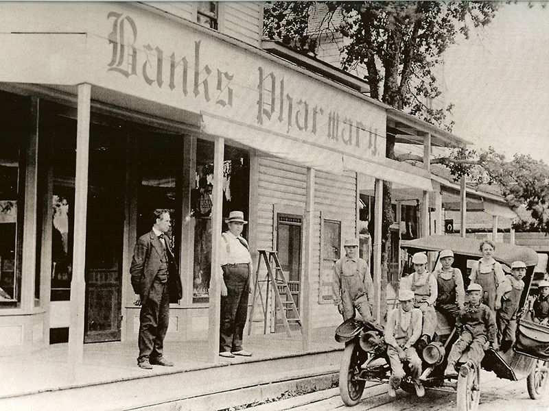
Banks Pharmacy, 1907.
Courtesy Banks Historical Society -
![]()
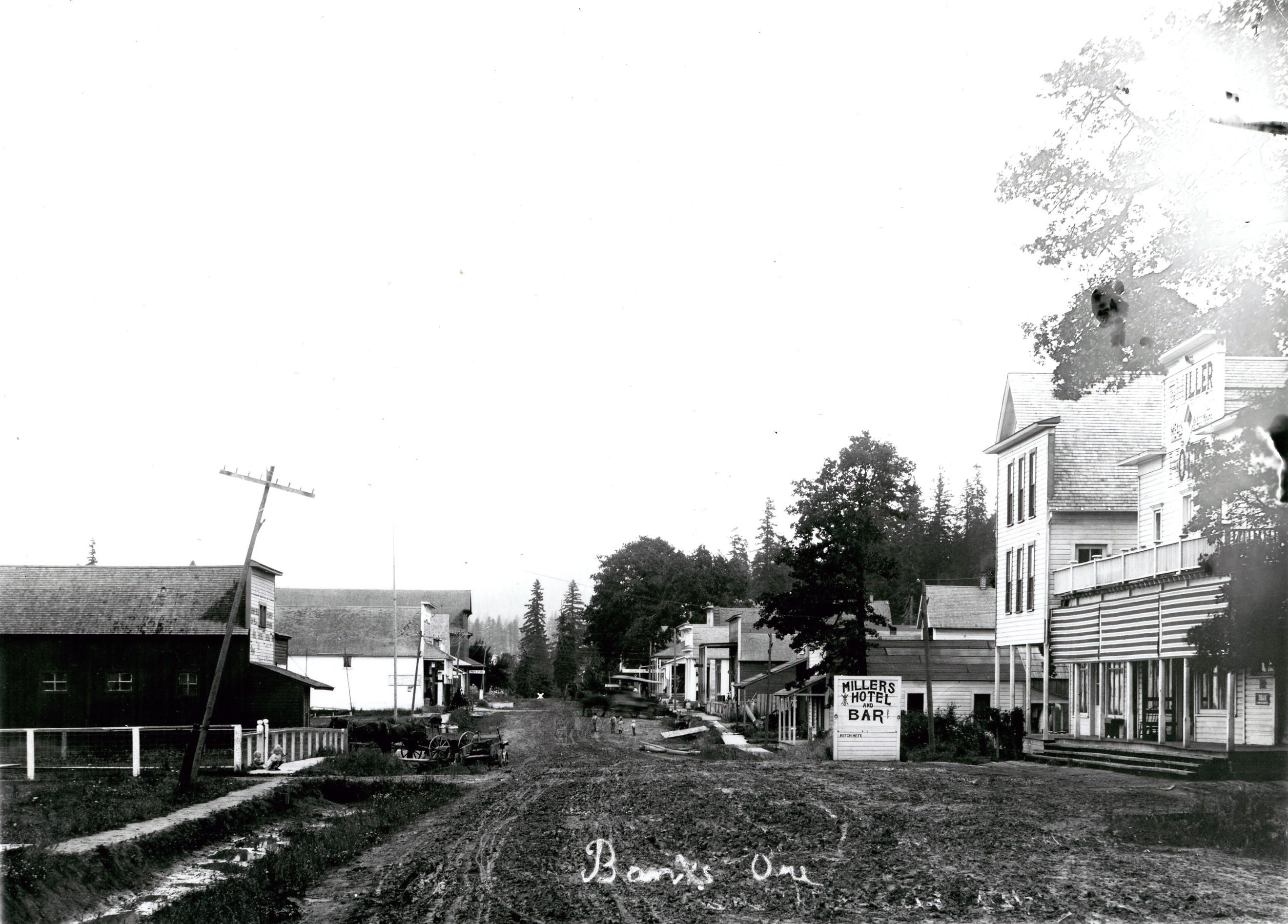
Banks, Oregon, c.1910.
Oregon Historical Society Research Library, C.W. Munford, 53736, photo file 80
Related Entries
-
![Community of Roy]()
Community of Roy
Roy is a small, rural community in Washington County, about three miles…
-
![Community of Verboort]()
Community of Verboort
Verboort is a small, unincorporated community about three miles northea…
-
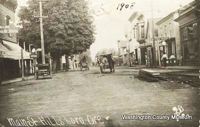
![Hillsboro]()
Hillsboro
Hillsboro, the seat of Washington County, is in the Tualatin River Basi…
-
![Tualatin peoples]()
Tualatin peoples
Tualatin (properly pronounced 'twälə.tun in English) was the name of a …
Map This on the Oregon History WayFinder
The Oregon History Wayfinder is an interactive map that identifies significant places, people, and events in Oregon history.
Further Reading
Bourke, Paul, and Donald DeBats. Washington County: politics and community in antebellum America. Baltimore: Johns Hopkins U. Press, 1995.