The modern City of Salem occupies a former Kalapuyan townsite known as Chemeketa, near the mouth of what is now Mill Creek (formerly Chemeketa Creek), a tributary of the Willamette River. Throughout warmer seasons, the Chemeketa people moved family or task groups onto Chemeketa Prairie and into the surrounding hills to hunt and to tend or harvest plant foods such as seed-bearing annuals, acorns and hazelnuts, and camas.
Evidence of these activities was documented by archaeological investigations along Mill Creek in the area of the I-5/Santiam Highway interchange (OR 22/Mission Street). The sites were investigated from the mid-1970s through the early 2000s in connection with modifications to the highway. In order to preserve a record of the cultural history of the sites, excavations focused on areas where the effects of construction were anticipated, and archaeologists sampled different parts of a single, large resource area where camas bulbs were a key draw. They detailed the manner of construction and the use of camas ovens and uncovered charred plant remains from the ovens that provided radiocarbon dates and an inventory of fuel woods.
A camas oven is a shallow basin lined with rocks. People heated the rocks with fire and then removed the fire residue before placing camas bulbs on the hot rocks and covering them. The heated rocks baked the camas, converting the bulbs’ natural inulin (a nondigestible carbohydrate) into digestible sugars, which enhanced their nutritional value and gave the bland bulbs a “sweet agreeable flavor,” as Meriwether Lewis described them on June 11, 1806. Kalapuyans were well known for baking camas, drying it, and then pounding it into cakes that were stored for winter food or traded. They “preserve their commass [camas],” fur trader Alexander Henry wrote on January 23, 1814, “much better than any others.”
The Mill Creek archaeological record is anchored by more than 80 radiocarbon dates, mostly from camas ovens, spanning the last 6,000 years. Turner Gap, the area between the Salem Hills and the Waldo Hills through which Mill Creek flows, is floored by gravels laid down by the North Santiam River. When debris plugged Turner Gap sometime before 6,000 years ago, the river was diverted to the south and Mill Creek began flowing in its abandoned channel. That is why the Mill Creek archaeological record extends to 6,000 years ago but not earlier. The Mill Creek channel is relatively stable, as it does not have the power to migrate significantly through the gravel bed left by the more powerful North Santiam River. Overflow from occasional Mill Creek flooding, however, has buried the archaeological sites bordering it.
Archaeologists at the Mill Creek site identified various harvesting strategies for camas, from “stripping” to the selective collecting of mostly mature bulbs. Selective harvesting leaves immature bulbs in the ground, implying that people developed intentional field management to ensure future harvests. This strategy appears to have become routine after about 3,500 years ago, when there was an increase in intentional burning on the valley floor. Kalapuyans also used fire to ensure that brushy undergrowth would not encroach on camas fields or on plots of seed-bearing annual plants, also an important food source.
While the evidence for seasonal harvesting, hunting, and food processing along Mill Creek spans the last 6,000 years, some sites in the complex are examples of Kalapuyan mounds that were built up by the heaped accumulation of occupational residues, such as oven rock and food waste from repeated or extended periods of occupation. Radiocarbon dates associated with the Mill Creek mounds fall within the last 1,500 years. Those sites generally have more diverse tool assemblages that include artifacts such as stone grinding bowls, which are not highly portable, and evidence of human burials. The more residential character of those sites suggests that as the population grew people may have been expanding homesites about four miles upstream from the main Chemeketa village near the mouth of Mill Creek.
Dating evidence from the Mill Creek sites suggests that the most intensive use of the area was between about 1,200 and 500 years ago, but it began to decline before the nineteenth century. Increasing encounters with sailors, fur trappers, and non-Native settlers brought waves of exotic diseases to present-day Oregon, resulting in mortality estimated to exceed 95 percent over the course of just a few generations. One source recalls that a consolidated community of Chemeketas and their neighbors on Mill Creek, some 400 people, was reduced by half due to a measles outbreak in 1847. By that time the population of Kalapuyans had been so reduced that they were unable to mount significant resistance to the taking of their lands. By 1850, five years before their land was formally ceded by the Willamette Valley Treaty all land along Mill Creek had been claimed by American settlers.
-
![]()
Mill Creek artifacts from the I-5/Santiam Highway interchange area.
Courtesy University of Oregon Museum of Natural and Cultural History.
-
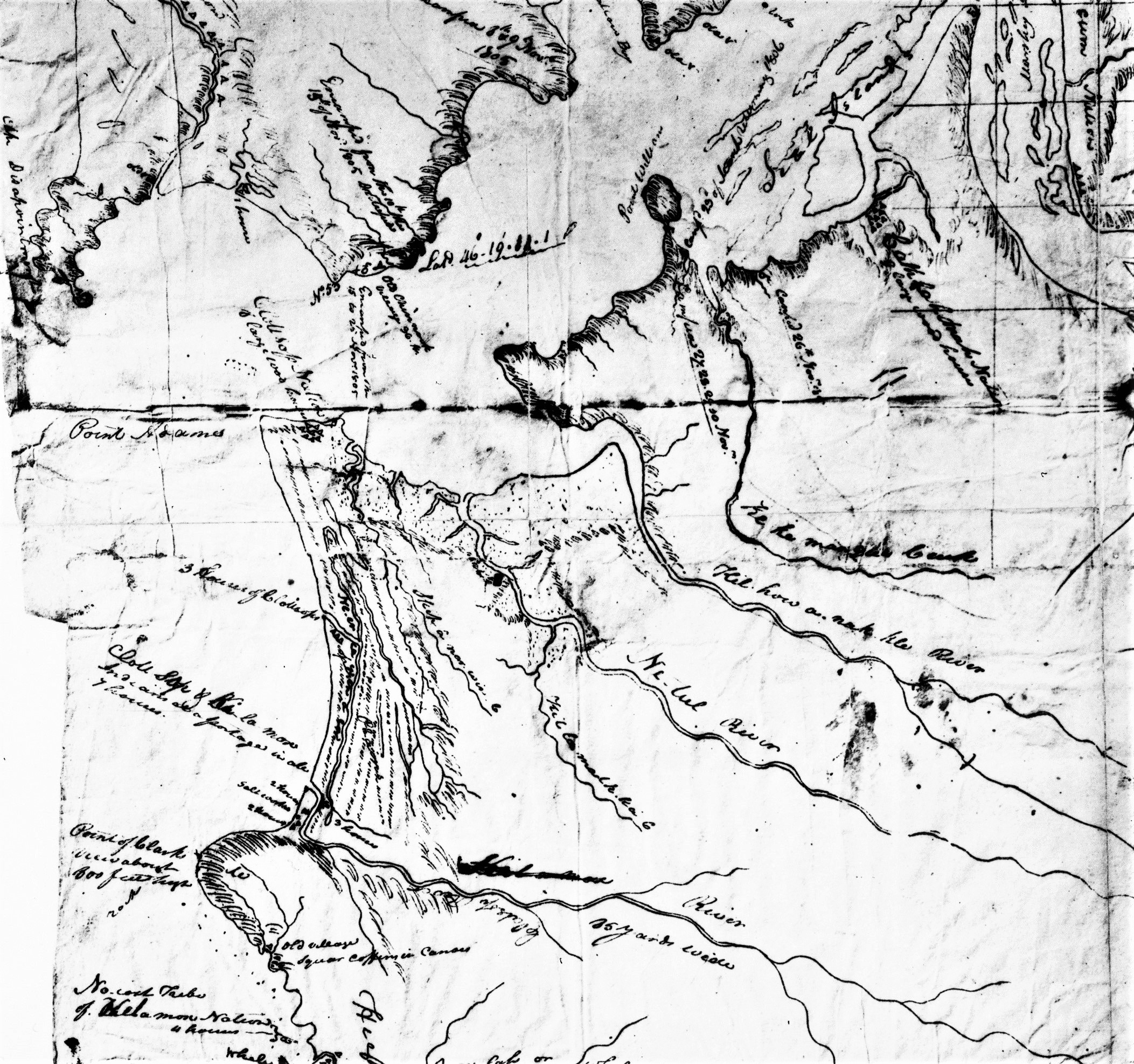
![Note that Mill Creek is labeled as Chemekitty Creek.]()
A portion of the Gibbs and Starling map made for the 1851 Dayton Treaty negotiations showing the domain of the “Chemekitty”.
Note that Mill Creek is labeled as Chemekitty Creek. Courtesy University of Oregon Museum of Natural and Cultural History.
-
![]()
Camas baking ovens from the Mill Creek sites; radiocarbon dated to 1300, 4500, 5600, and 5750 years ago (clockwise from upper left).
Courtesy University of Oregon Museum of Natural and Cultural History.
Related Entries
-
![Camas]()
Camas
Camas is a North American bulb-forming geophyte whose greatest diversit…
-
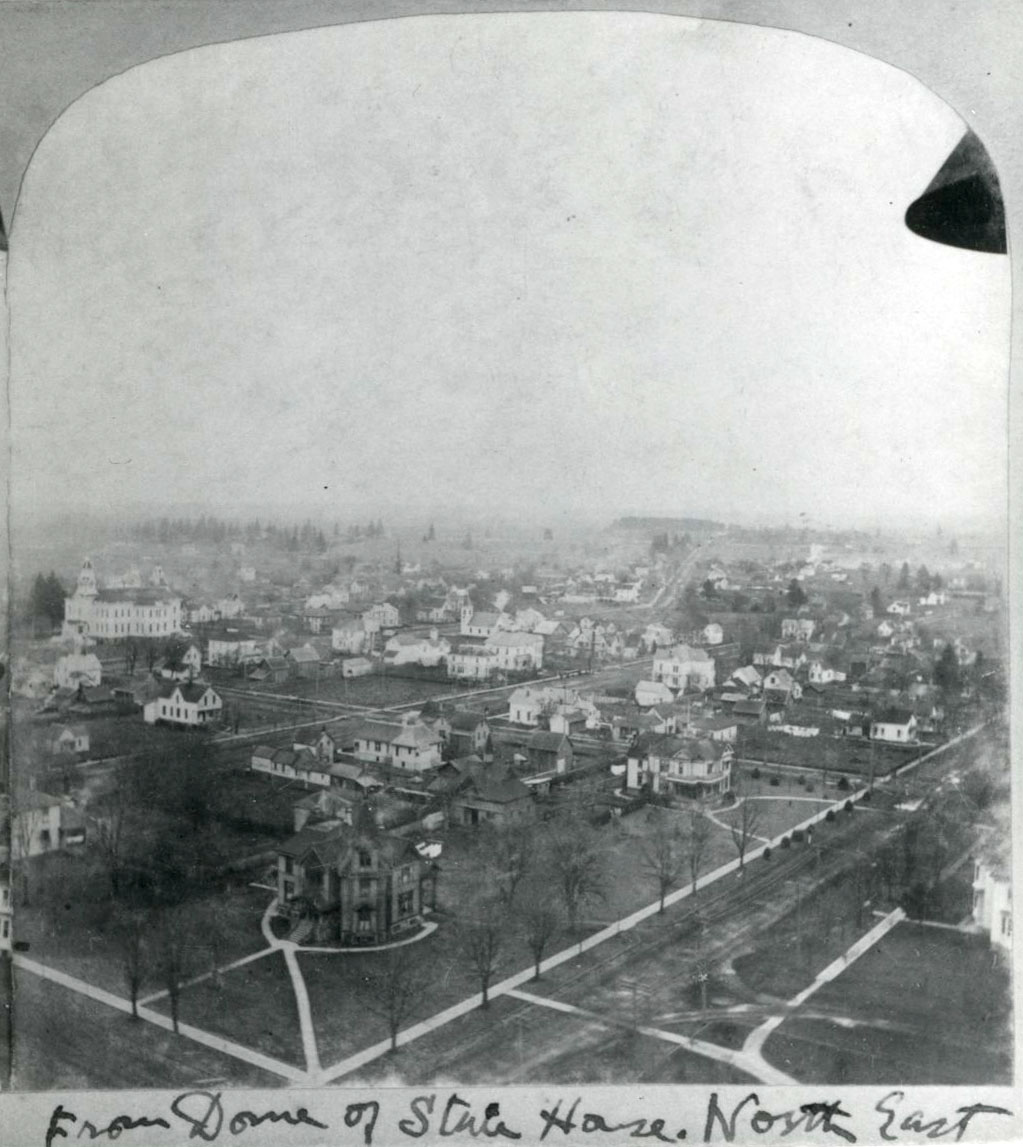
![City of Salem]()
City of Salem
Salem, the capital of Oregon, is located at a crossroads of trade and t…
-
![Disease Epidemics among Indians, 1770s-1850s]()
Disease Epidemics among Indians, 1770s-1850s
In 1972, historian Alfred Crosby introduced the term Columbian Exchange…
-
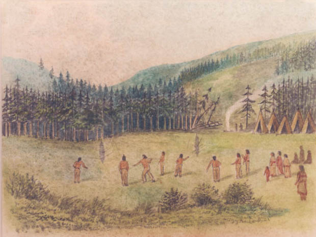
![Indian Use of Fire in Early Oregon]()
Indian Use of Fire in Early Oregon
Anthropogenic (human-caused) fire was a major component of the Native s…
-
![Kalapuyan peoples]()
Kalapuyan peoples
The name Kalapuya (kǎlə poo´ yu), also appearing in the modern geograph…
Map This on the Oregon History WayFinder
The Oregon History Wayfinder is an interactive map that identifies significant places, people, and events in Oregon history.
Further Reading
Aikens, C. Melvin, Thomas J. Connolly, and Dennis L. Jenkins. Oregon Archaeology. Corvallis: Oregon State University Press, 2011.
Boyd, Robert T.The Coming of the Spirit of Pestilence: Introduced Infectious Diseases and Population Decline among Northwest Coast Indians, 1774-1874. Seattle: University of Washington Press, 1999.
Boyd, Robert T. Indians, Fire and the Land in the Pacific Northwest. Corvallis: Oregon State University Press, 1999.
Carney, Molly, Shannon Tushingham, Tara McLaughlin, and Jade d’Alpoim Guedes. "Harvesting strategies as Evidence for 4000 Years of Camas (Camassia quamash) Management in the North American Columbia Plateau." Royal Society Open Science 8:202213 (2021).
Connolly, Thomas J. "Willamette Valley, Western Oregon: The Long History of Settlements in an Interior Valley." In Archaeology in America: An Encyclopedia, edited by Francis P. McManamon, Linda S. Cordell, Kent Lightfoot, and George R. Milner, 199-203. Westport, Conn.: Greenwood Press, 2009.