The small city of Rufus, incorporated in 1965, is located along the Columbia River in Sherman County, eight miles east of the Deschutes River and two miles west of the John Day Dam. In 2020, the U.S. Census recorded 268 people living within the 1.2 square-mile city limits. The townsite has been continually occupied as an important gathering place for thousands of years. Columbia Plateau Native Americans extracted petrified wood from a quarry there and used it as a fishing site. The town itself briefly boomed in the 1940s with the establishment of Camp Rufus and again in the 1960s with the construction of the John Day Dam. In 2026, the city is primarily a stopping place for visitors driving on I-84, with RV hookups and camping for travelers who like to fish, watch wind surfers on the Columbia, and enjoy the views of the basalt cliffs.
Sahaptin-speaking Teninos and other bands of the Wishram, Wasco, and Warm Springs have lived in the area of Rufus and on the northern banks of the Columbia for millennia. On the west side of Rufus, archaeologists uncovered flake tools and hammerstones at a petrified wood quarry. Teninos harvested plentiful runs of salmon from the Columbia River, hunted inland for deer and elk, and harvested roots, berries, and tubers. In June 1855, Mid-Columbia River peoples signed a treaty with the U.S. government and were removed to the Warm Springs Reservation, located about ninety-five miles south of Rufus. Their descendants are a part of the Confederated Tribes of Warm Springs and the Confederated Tribes and Bands of the Yakama Nation.
EuroAmerican and Chinese miners passed through the Rufus area beginning in the 1860s, and stockmen arrived in Sherman County to raise cattle and sheep on the open bunchgrass steppe as early as 1862. The number of travelers was enough to support ferries at the Deschutes and John Day Rivers and a stage line between The Dalles and Canyon City. Wheat farming became the area’s primary crop when the Oregon Railway and Navigation Company extended its railroad line east from The Dalles in 1880-1881. Farmers in Sherman County hauled their wagonloads of wheat to warehouses along the Columbia River, including Rufus, and the crops were transported to national and international markets by rail.
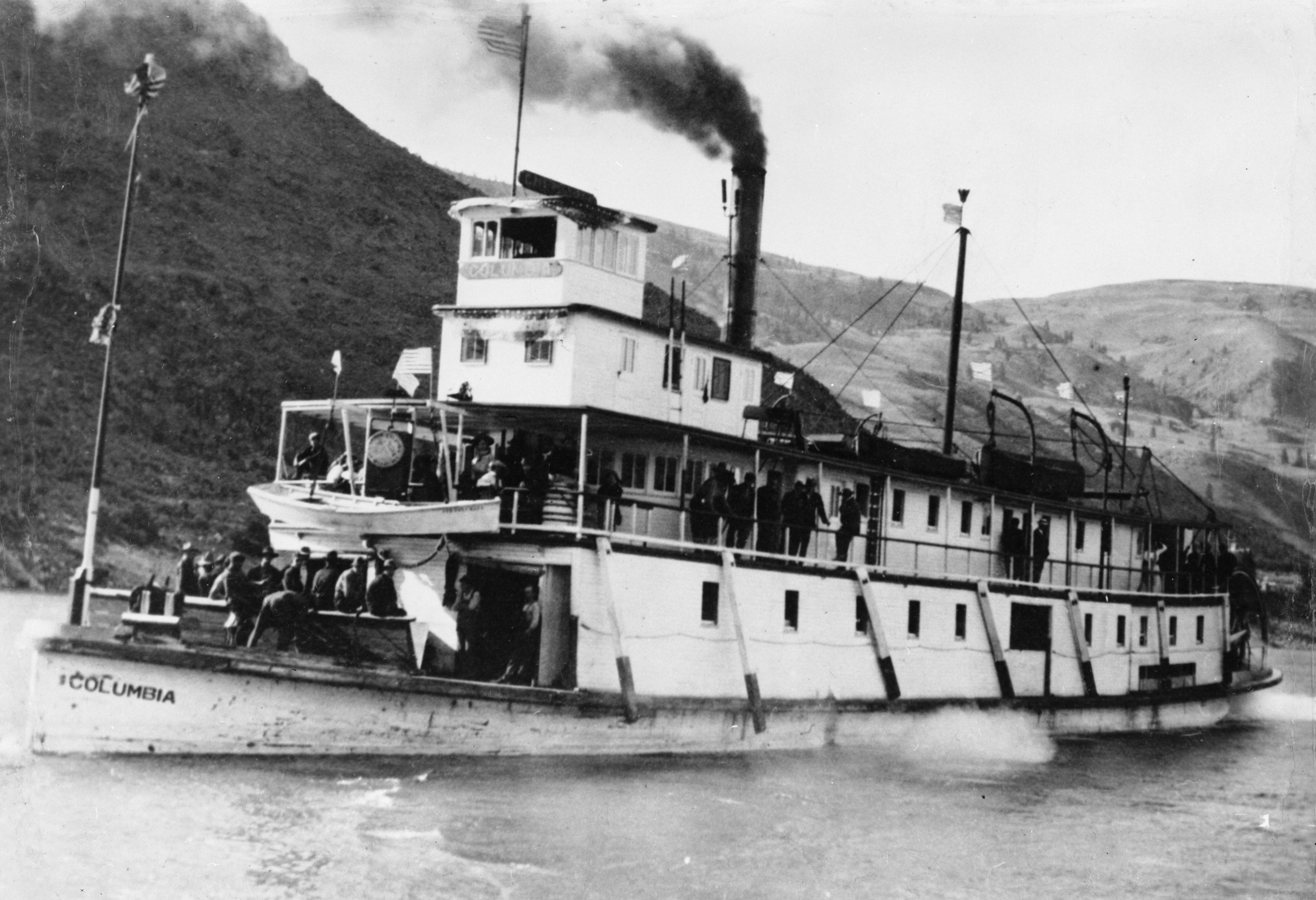
The city is named for Rufus Carroll Wallis, who moved to the area from Goldendale, Washington, with his wife Mary Burgen in about 1885. Wallis operated a ferry across the Columbia River and became the first postmaster in 1886; the town was platted in 1892. Wallis also owned a wheat warehouse, a store, and a hotel, operated by Mary and their children. Throughout the late 1890s and early twentieth century, the town grew to include a general store, livery stables, saloons, a bakery, a church, grain and fruit storage facilities, and a shipping office. The first one-room school was built in 1892, followed by a two-room structure in 1907. A larger school building constructed in 1928 was turned into a community center. At least two steamboats were constructed at Rufus, the Yukon (1895) and the Columbia (1902). The completion of the Columbia Southern Railroad in 1897, from Biggs south to Wasco, however, bypassed Rufus’s shipping port and impacted commerce. As a result, the town’s population decreased from 113 in 1910 to 70 in 1930.
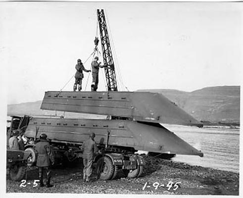
From 1944 to 1945, the town’s economy benefitted from the arrival of up to 2,500 army engineers stationed in nearby Camp Rufus to build and test pontoon bridges. By the 1950s, the population reached 208. In 1958, the U.S. Army Corps of Engineers began construction on the John Day Dam, and hundreds of workers and their families moved to Rufus, tripling its population. The city incorporated in 1964, and the dam was dedicated on September 28, 1968. When construction on the dam ended in 1972, the town population had dwindled to 317.
During its time of growth, Rufus suffered major damage from the Christmas Flood of 1964. Most buildings were flooded, and a layer of mud coated downtown. Debris and large rocks tipped over mobile homes, highways were inundated, and the John Day River Bridge was destroyed. Several residents died during the disaster.
Throughout the late twentieth and early twenty-first centuries, Rufus has maintained a farming economy, but it has transitioned its commodity-based shipping port to recreation-based services, such as camping, fishing, and boating. Rufus Landing offers free “no frills” camping spots, and a boat launch and campground at Giles French Park near the John Day Dam provides access to the Columbia River. Tackle shops, a market, and river guide adventure tours support fishing along the nearby John Day and Deschutes Rivers.
-
![]()
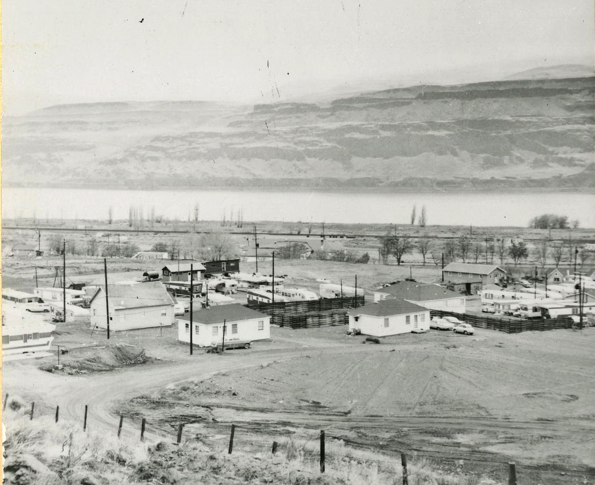
The town of Rufus, 1961.
Courtesy Oregon Hist. Soc. Research Lib., 006314
-
![Robert W. Henderson, photographer.]()
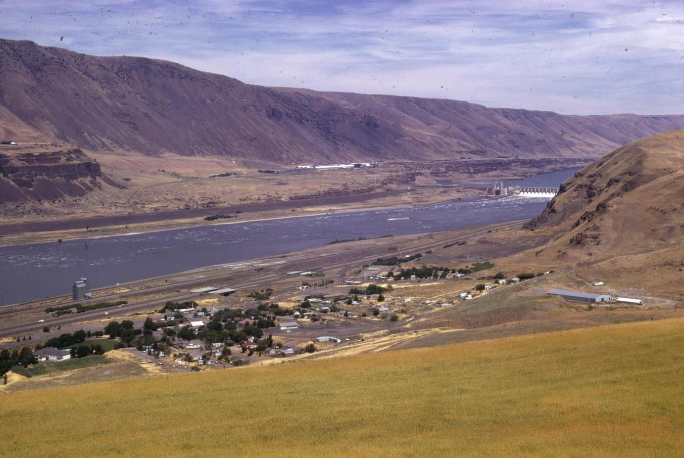
Rufus, Oregon and the Columbia River, July 1974.
Robert W. Henderson, photographer. Courtesy OSU Special Collections & Archives Research Center, Oregon State University. "Rufus, Oregon and the Columbia River, July 1974" Oregon Digital -
![The steamboat "Columbia" was constructed in Rufus in 1902.]()
The steamboat "Columbia" at Wenatchee, WA, 1905.
The steamboat "Columbia" was constructed in Rufus in 1902. Oregon Historical Society Research Library, OrHi_97523
-
![]()
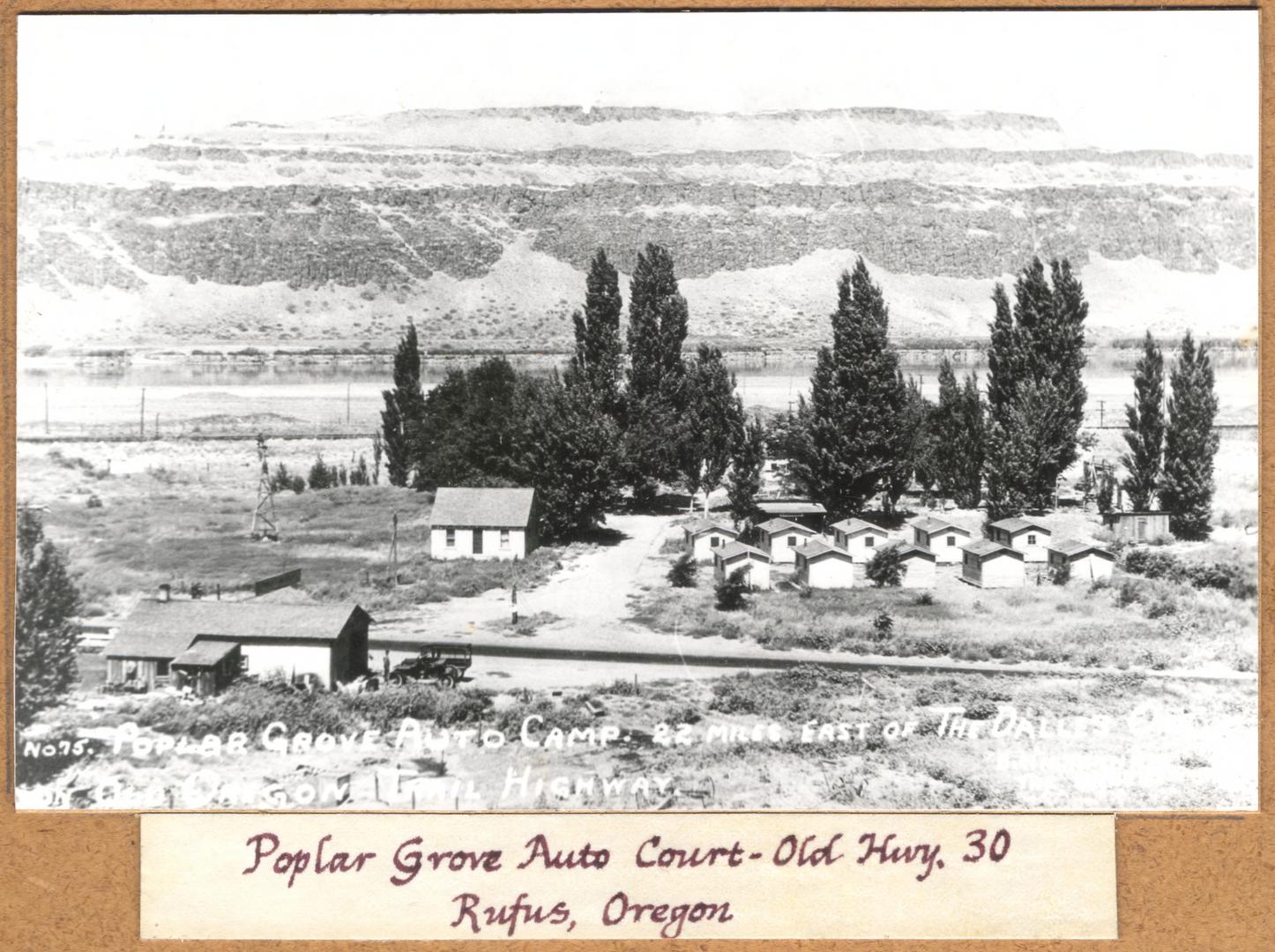
Poplar Grove Auto Court - Old Highway 30, Rufus, Oregon,.
Courtesy Columbia Gorge Discovery Center Photo Archive, Oregon State University. "Poplar Grove Auto Court , 22 Miles East of The Dalles - Old Hwy. 30, Rufus, Oregon" Oregon Digital -
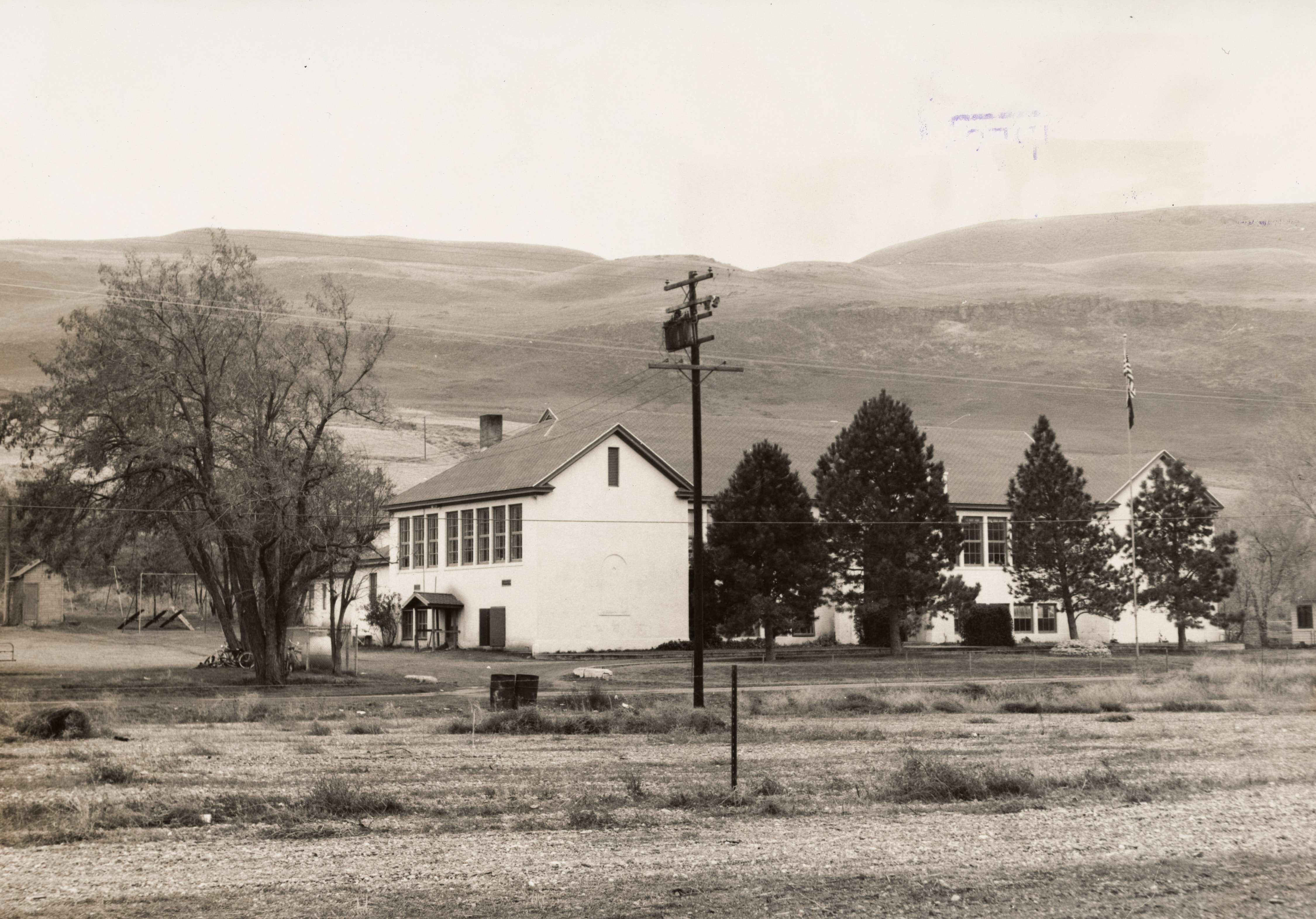
![Bill Gray, Photographer.]()
School in Rufus, Oregon, 1961.
Bill Gray, Photographer. Oregon Historical Society Research Library, Oregon Journal Collection, 0027P082
-
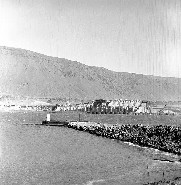
![Ben Maxwell, photographer.]()
Construction of the John Day Dam on the Columbia River, Oregon, 1961.
Ben Maxwell, photographer. Courtesy Salem Public Library Historic Photograph Collections, Salem Public Library, Salem, Oregon, 7326 -
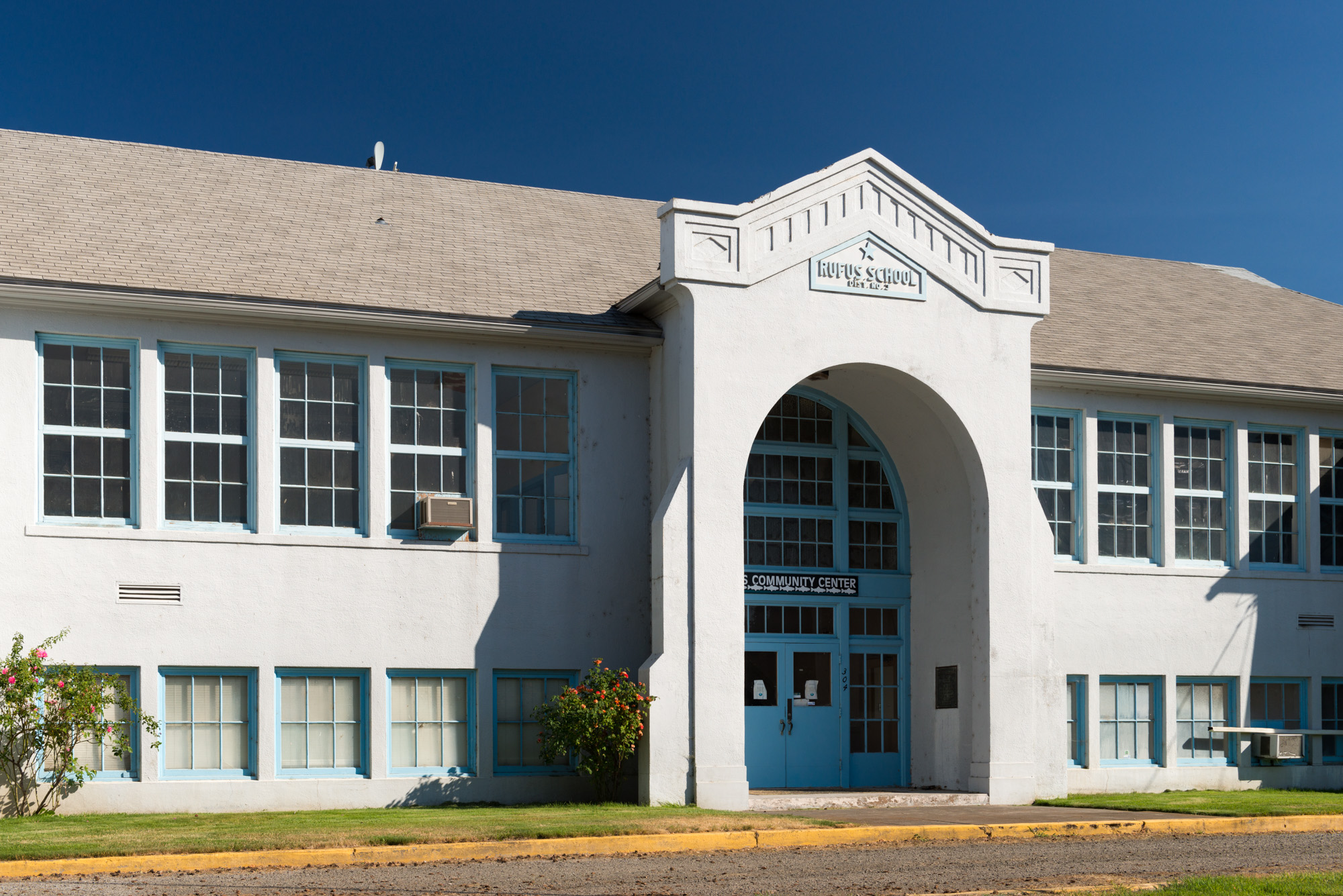
![Gary Halvorson, photographer.]()
The Old Rufus High School, Rufus, 2013.
Gary Halvorson, photographer. Courtesy Oregon State Archives -
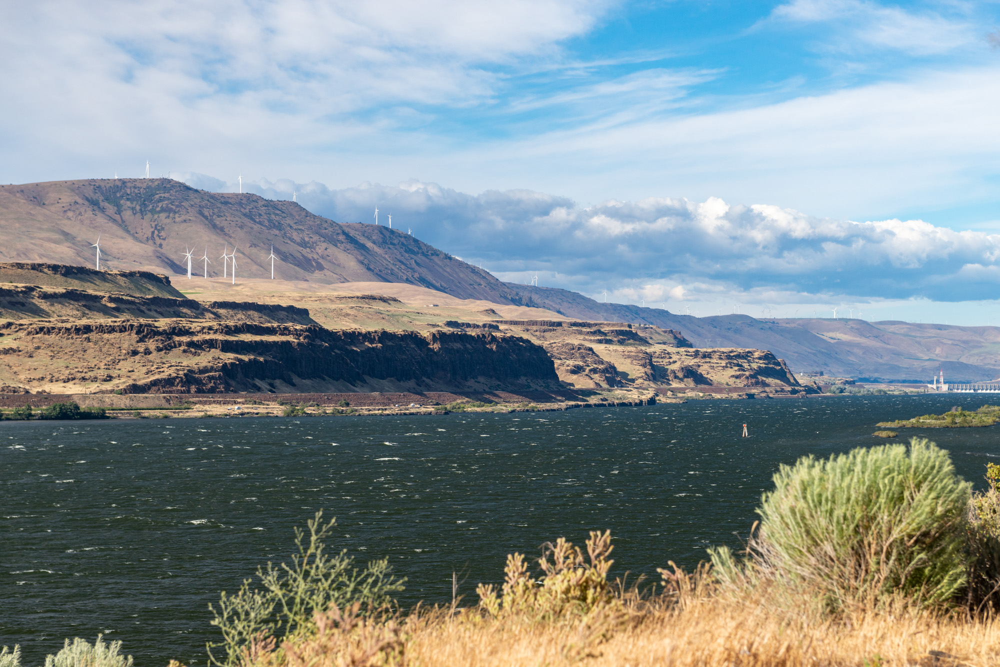
![Gary Halvorson, photographer]()
Columbia River, Biggs-Rufus Road, 2019.
Gary Halvorson, photographer Courtesy Oregon State Archives, Oregon Scenic Images, 20190620-2432 -
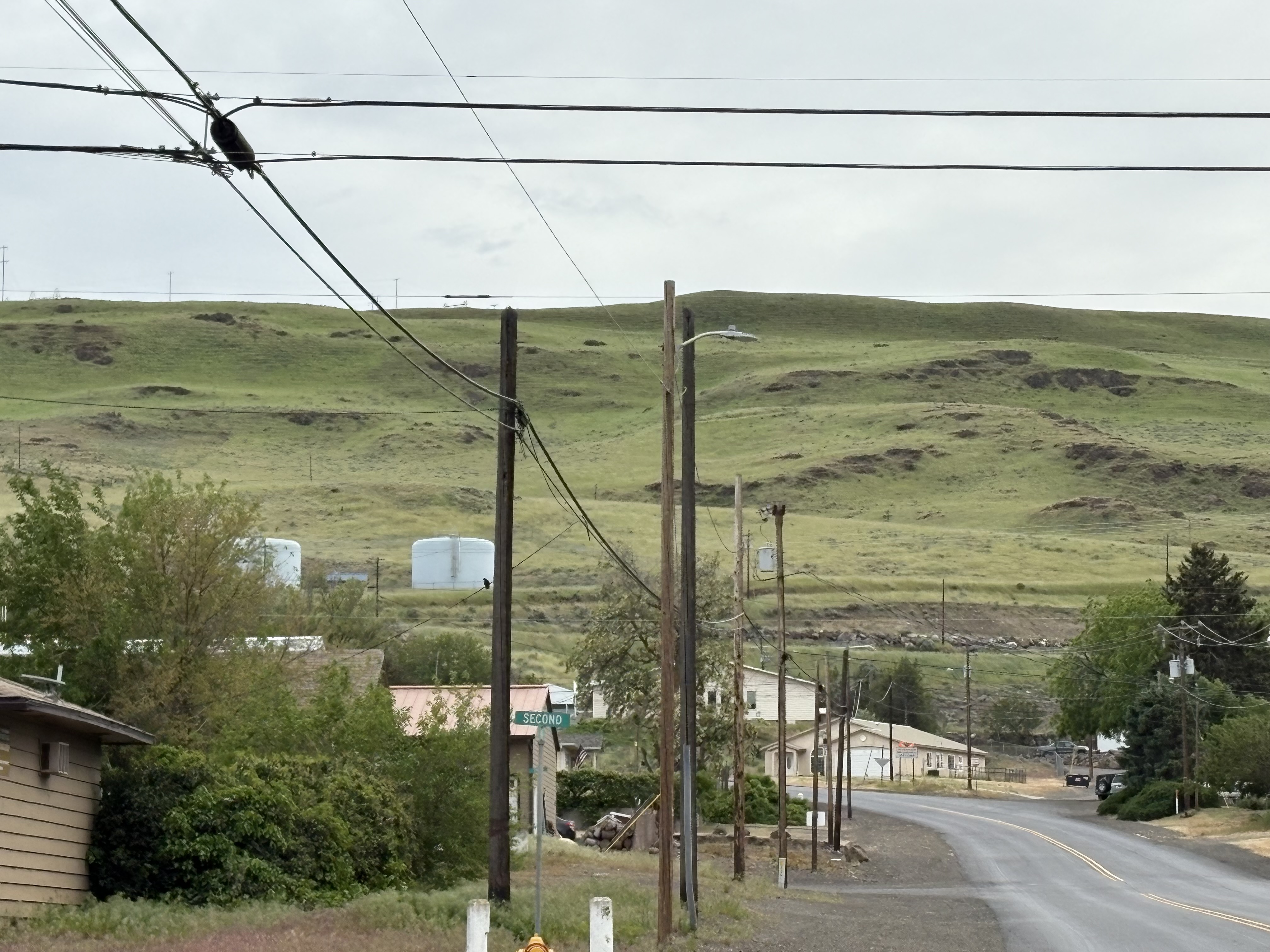
![]()
View from Rufus looking north, May 2025.
Courtesy Tania Hyatt-Evenson
-
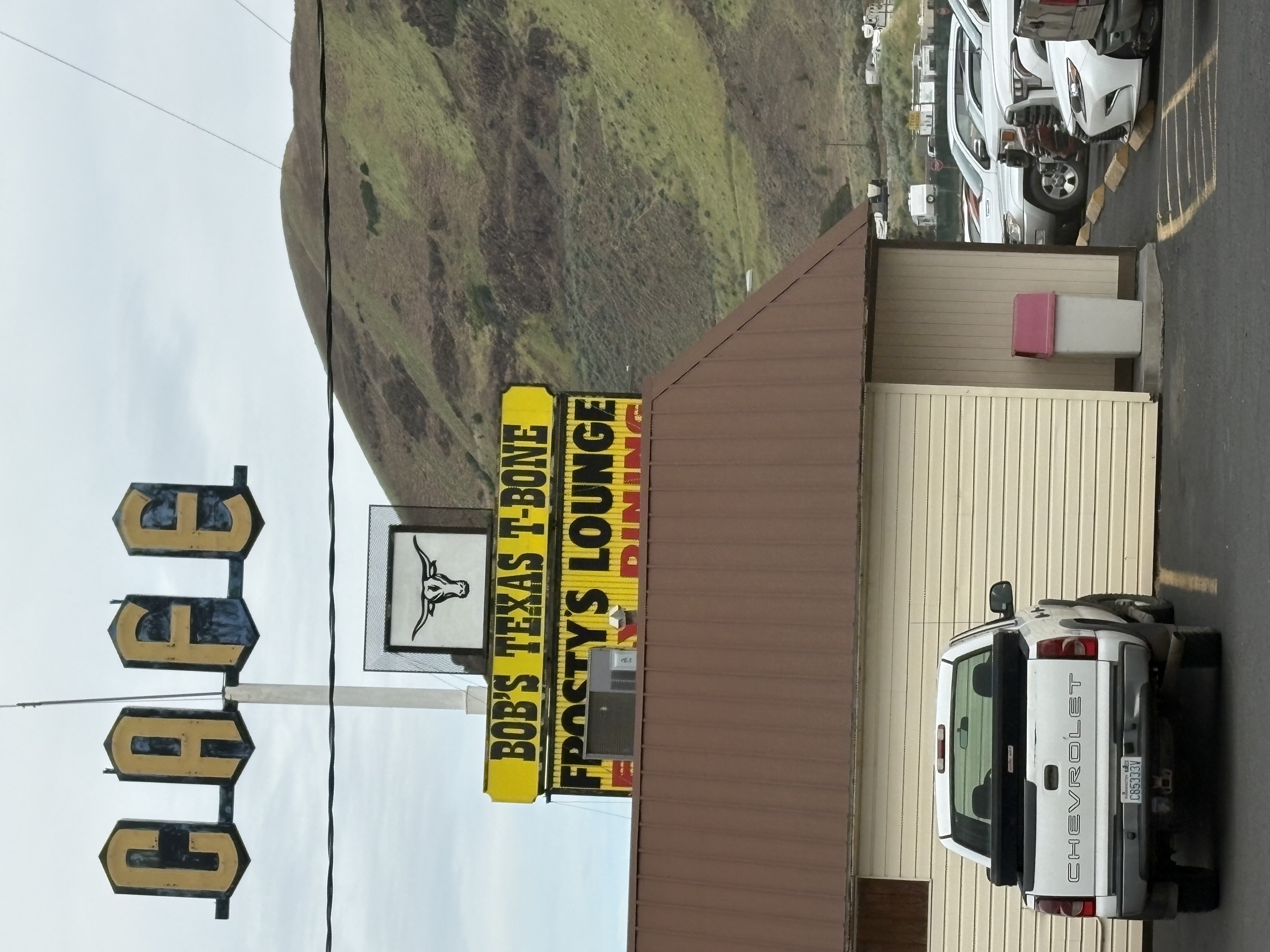
![]()
Bob's Texas T-Bone, Rufus, OR, May 2025.
Courtesy Tania Hyatt-Evenson
-
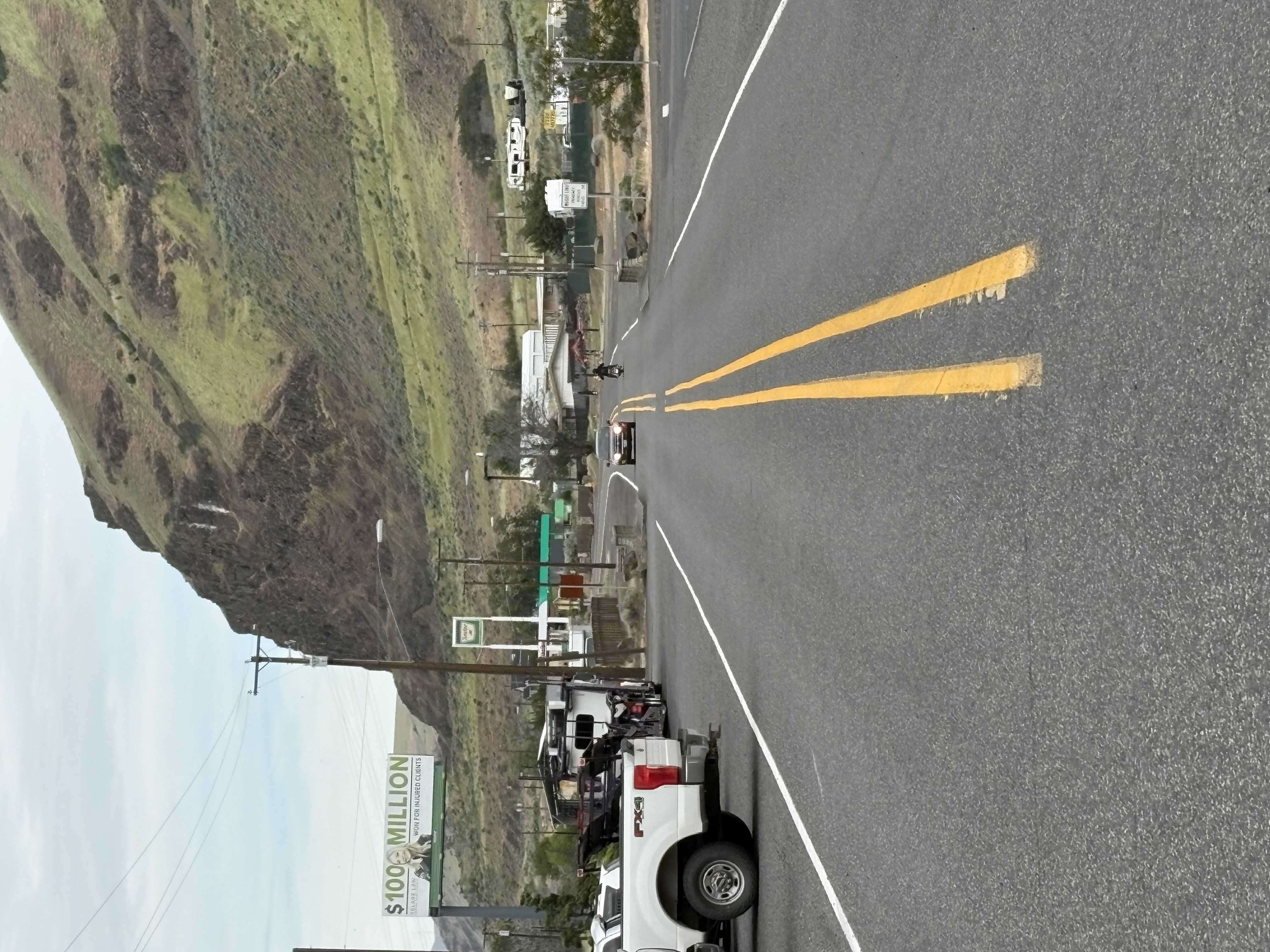
![]()
View of 1st Street, Rufus, Oregon, May 2025.
Courtesy Tania Hyatt-Evenson
-
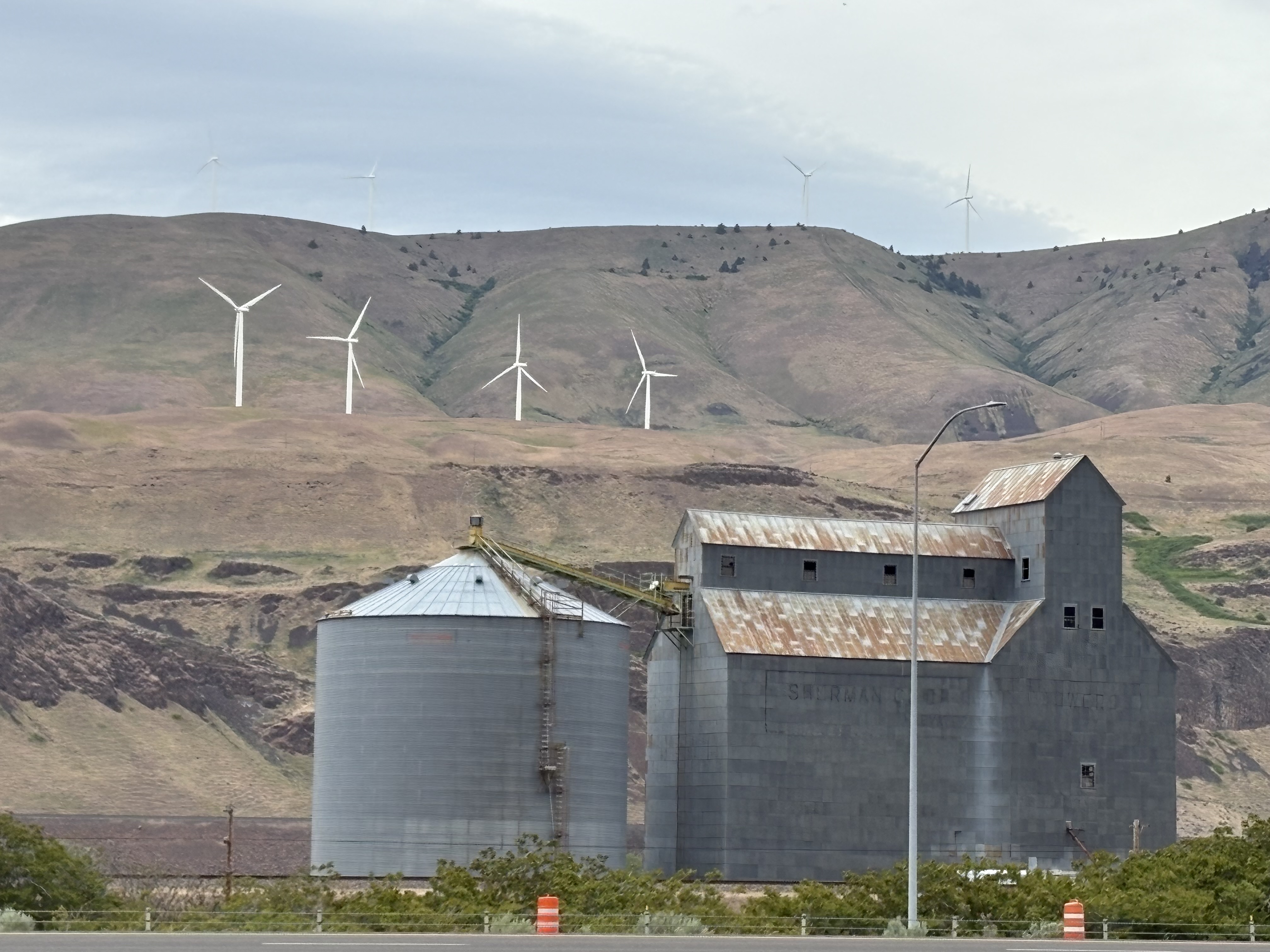
![]()
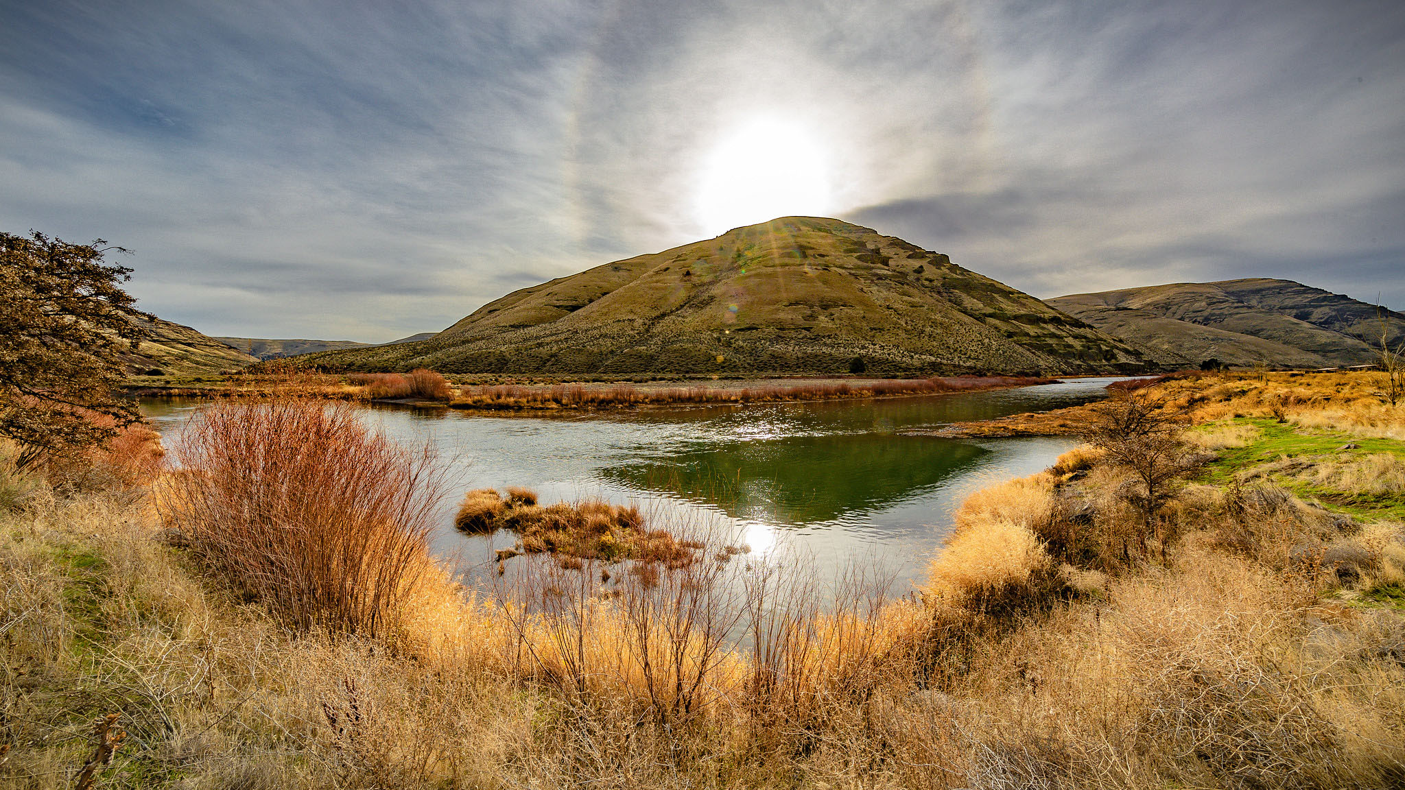
View of hills behind Rufus, Oregon, May 2025.
Courtesy Tania Hyatt-Evenson
Related Entries
-
![Camp Rufus]()
Camp Rufus
On December 22, 1944, the Sherman County Journal reported that about a …
-
![Columbia River]()
Columbia River
The River For more than ten millennia, the Columbia River has been the…
-
![John Day River (north-central Oregon)]()
John Day River (north-central Oregon)
The 281-mile-long John Day River in north-central Oregon is the longest…
-
![Oregon Railway & Navigation Company]()
Oregon Railway & Navigation Company
Recognizing the opportunity to monopolize access to Oregon by the trans…
-
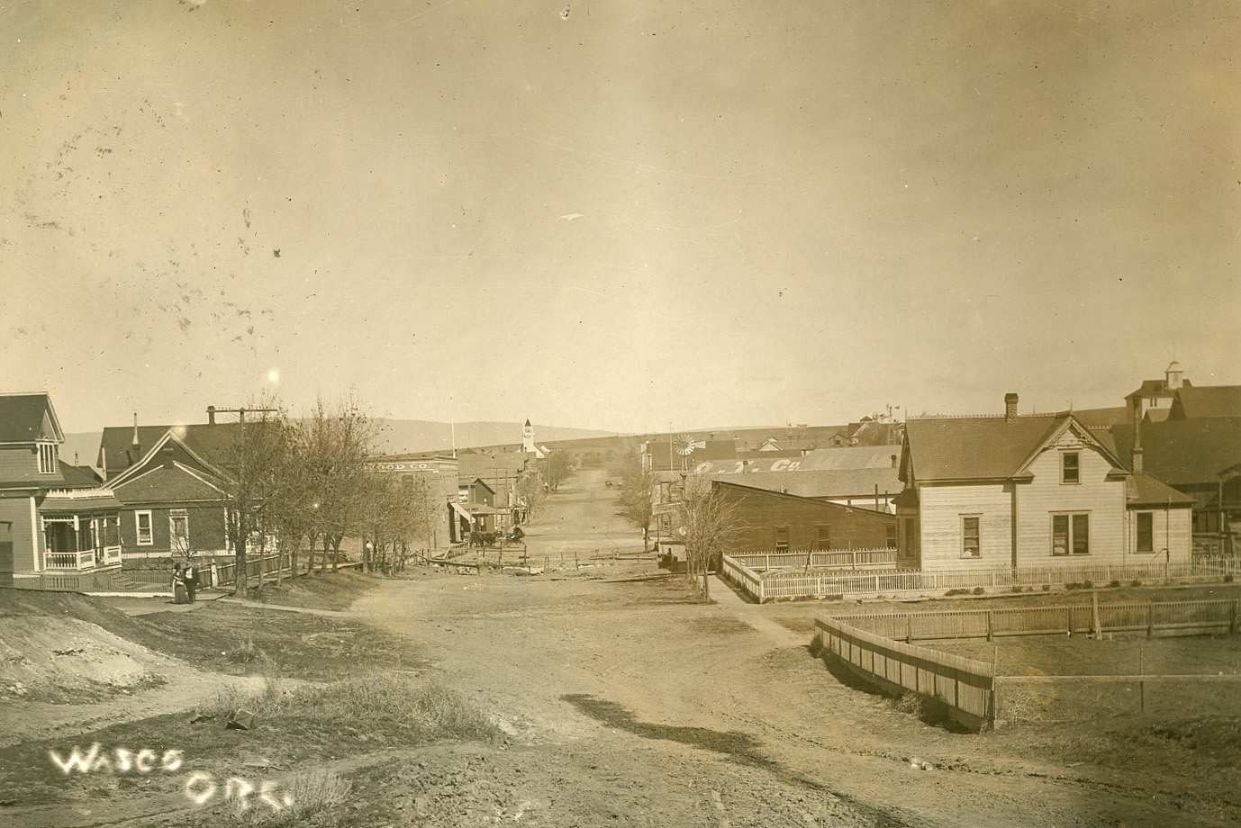
![Wasco]()
Wasco
Wheat farming, ranching, and wind turbines drive the economy of the sma…
-
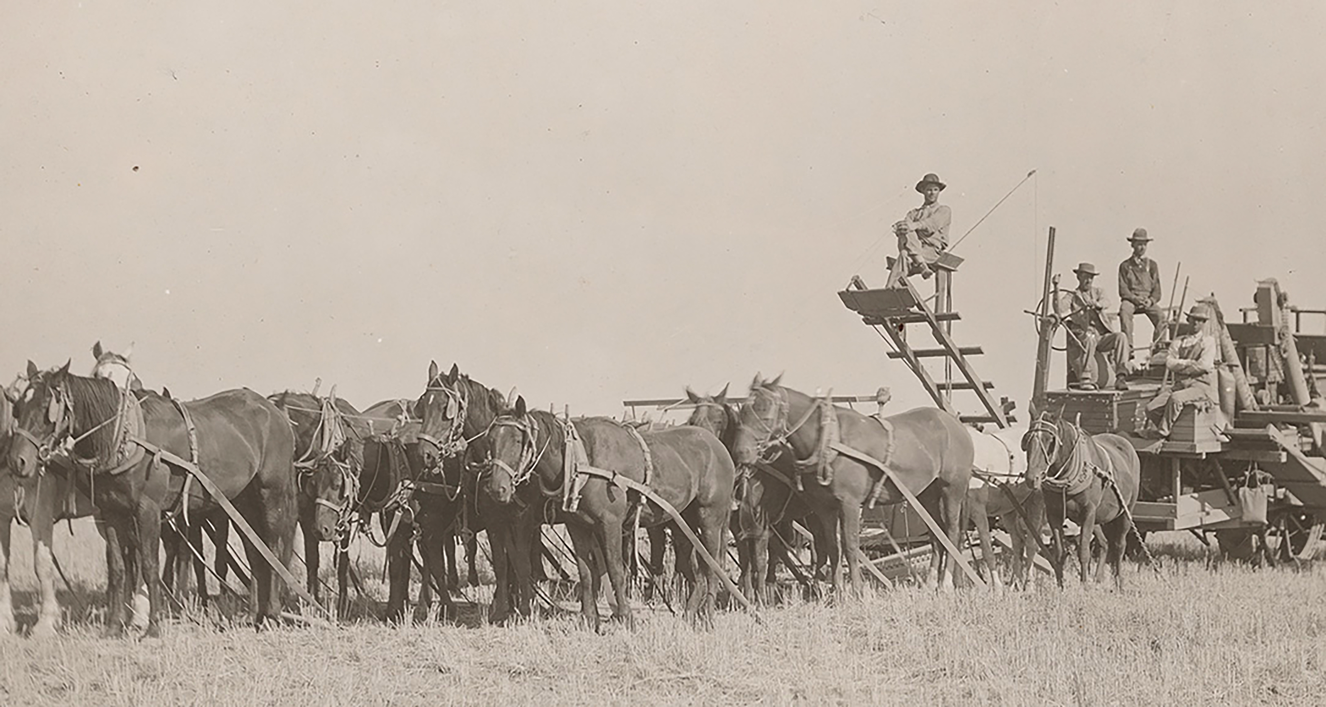
![Wheat Farming in Oregon]()
Wheat Farming in Oregon
In the United States, wheat is consistently among the top five crops in…
Related Historical Records
Map This on the Oregon History WayFinder
The Oregon History Wayfinder is an interactive map that identifies significant places, people, and events in Oregon history.
Further Reading
Due, John F. Rails to the Mid-Columbia Wheatlands: The Columbia Southern and Great Southern Railroads and the Development of Sherman and Wasco Counties, Oregon. Washington, D.C.: University Press of America, Inc., 1979.
French, Giles. The Golden Land: A History of Sherman County, Oregon. Charlottesville: University of Virginia, 1958.
Landreth, Keith, Daniel G. Landis, and Linda Clark. Archaeological Investigations at the Rufus Quarry Site, 35SH119. Sherman County, Oregon. Cheney, WA: Archaeological and Historical Services Eastern Washington University Reports in Archaeology and History (1984): 100-38.
"Rufus." Sherman County Historical Society.