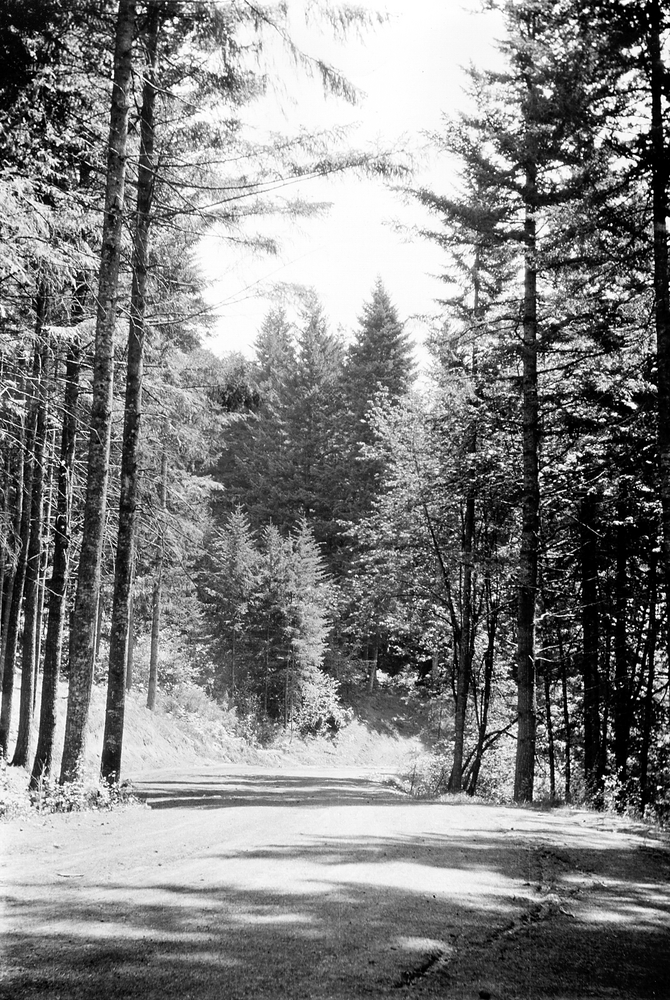
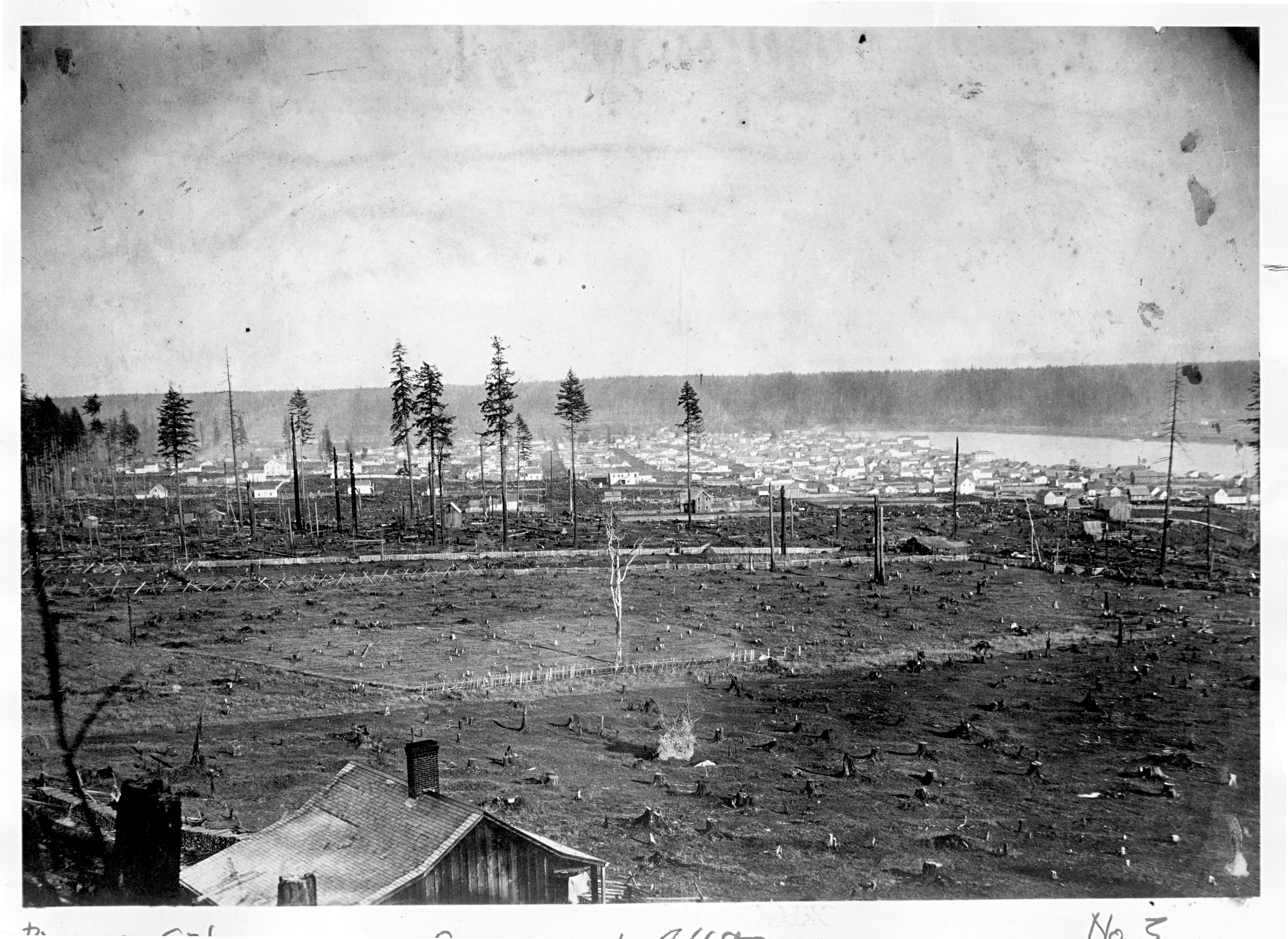
Southeast Portland's 196-acre Mount Tabor Park sits on an extinct volcanic butte, one of thirty-two cinder cones in a thirteen-mile radius. The park offers visitors a forest-like setting and panoramic views of the city.
Mount Tabor Park dates to 1894, when the city built two open reservoirs on land acquired for that purpose (two other open reservoirs were built in 1911). After the turn of the twentieth century, Portland's growing east-side population demanded park space, and, in 1903 landscape architect John C. Olmsted recommended the city obtain more land at Mount Tabor. In 1909, the Board of Park Commissioners used voter-approved bonds to buy approximately forty lots on Mount Tabor for $366,000.
Portland Parks Superintendent Emanuel Tillman Mische, who had worked with the Olmsted Brothers' landscape design firm in Massachusetts, consulted with Olmsted on his naturalistic design for the park. The plan included long flights of stairs, gently curving parkways, numerous walking trails, and a nursery yard. It also showcased native plants. Since then, the parks department has added basketball and tennis courts, picnic areas, playgrounds, an amphitheater, and, during the 1950s, a soap-box derby course that is still used for annual races.
In 1990,the city decommissioned a reservoir at Southeast 60th Avenue and Division Street and sold the land for development. In recent years, park neighbors have successfully organized to fight city plans to bury the remaining open water reservoirs and to sell or lease the nursery yard. In 2004, Mount Tabor Park and the reservoirs were added to the National Register of Historic Places.
-
Mt. Tabor Park in Portland.
Oregon Historical Society Research Library OrHi 102169
Related Entries
-
![Forest Park]()
Forest Park
Forest Park is a unique and impressive recreational and scenic area est…
-
![Ladd's Addition]()
Ladd's Addition
Ladd's Addition is a streetcar-era neighborhood in southeast Portland w…
-
![Macleay Park]()
Macleay Park
Portlanders have long valued Macleay Park, in Portland’s northwest hill…
-
![Portland]()
Portland
Portland, with a 2020 population of 652,503 within its city limits and …
-
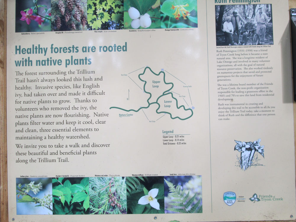
Tryon State Park
Located in southwest Portland, Tryon Creek State Park is a 635-acre, un…
Related Historical Records
Map This on the Oregon History WayFinder
The Oregon History Wayfinder is an interactive map that identifies significant places, people, and events in Oregon history.
Further Reading
Guzowski, Kenneth James. "Portland's Olmsted Vision (1897-1915): A Study of the Public Landscapes Designed by Emmanuel T. Mische in Portland, Oregon." MA thesis, University of Oregon, 1990.
Hershey, Edward. "Deal puts Mt. Tabor Land Sale in Past." Oregonian, May 18, 2007.


