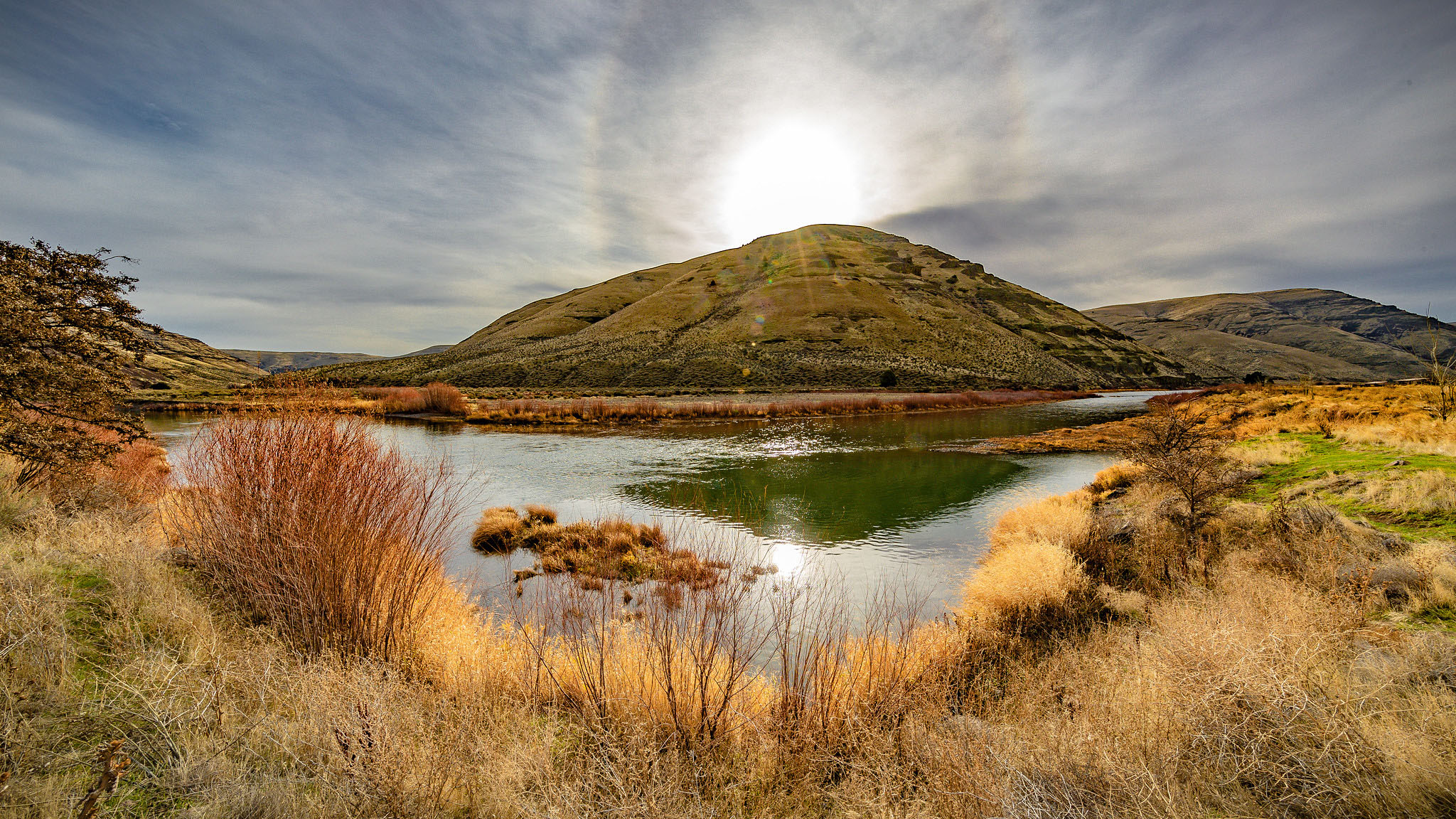
The hamlet of Spray is located on the banks of the John Day River among the basalt rimrock of north-central Oregon, about thirty-six miles southeast of Fossil. With a backdrop of sagebrush-dotted hills, the town is on the semi-arid south flank of the Blue Mountains at 1,792 feet altitude. Oregon Highway 19 passes through Spray, which has about 140 residents, a grocery store, a bank ATM, and a church or two. The town boasts that it is “Home of the best small town rodeo in the West!” and a welcome sign promises a “Sportsman’s Paradise” in the “Heart of the John Day River Valley.”
For millennia, Wasco and the Tenino hunted game and gathered roots and berries along the creeks in present-day Wheeler County. During the nineteenth century, Cayuse, who were known for their skill with riding and breeding horses, expanded their hunting and gathering grounds from the Blue Mountains to the Deschutes and John Day Rivers. The Warm Springs, Wasco, and Paiute are now members of the Confederated Tribes of the Warm Springs, and the Cayuse are members of the Confederated Tribes of the Umatilla Indian Reservation.
The first EuroAmerican settlers in the area arrived in the 1860s and 1870s, when the Frizzell, Wagner, Fisher, Hughes, O’Flying, Fisk, and Gatey families established sheep ranches in the twenty-five-mile area known as Haystack country, between Kimberly and Service Creek. By the 1880s and 1890s, most of Spray’s residents raised sheep, transporting their wool by freight wagon to Heppner for shipping to larger markets.
The town is named after John Fremont Spray (1859–1930), a stockman who was the first postmaster in 1900. In 1896, Spray started the first ferry service across the John Day River and established the first store and school. He and his wife Mary Ellen Spray platted the town on May 19, 1900.
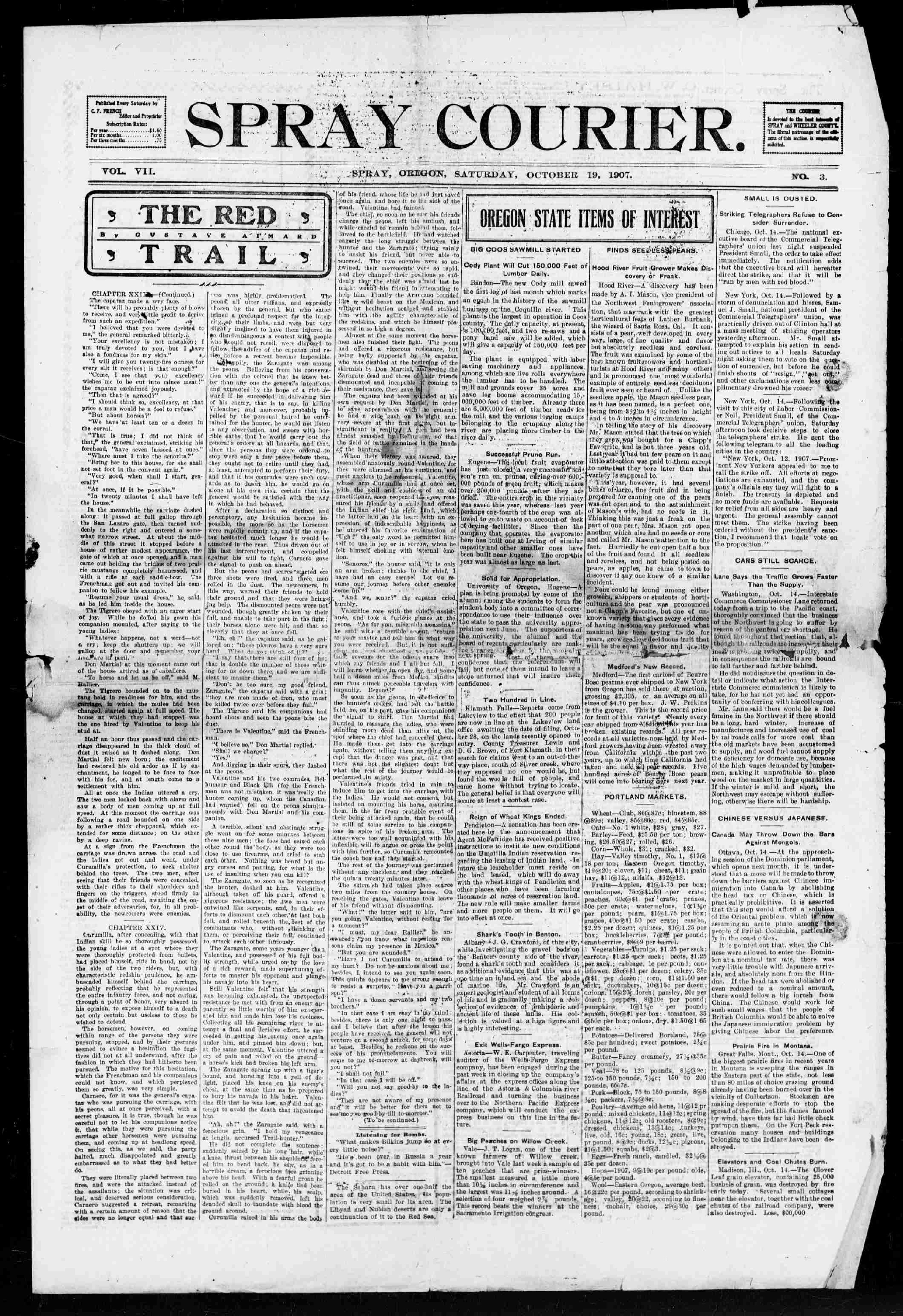
Throughout the early twentieth century, the village of Spray grew and thrived. The Fossil-Shaniko stage line provided reliable transportation on the thirty-two miles between Spray and Fossil by 1905, and the Spray Courier published local and regional news during the first decades of the twentieth century. During the early 1900s, the sheep were eclipsed by cattle ranching, which remains an important part of the regional economy today. The first high school was built in the 1920s, and the Spray School District continues as an important part of the town’s development and economic stability. As of 2020, the school district enrolled sixty-one students in K-12 classes and serviced students across 605 square miles, most of it in unincorporated Wheeler County.
After World War II, the population of Spray and Wheeler County gradually declined, as many residents remained in larger cities after taking jobs there for the war effort. The town was incorporated in February 1958, but the population continued to decline throughout the 1960s and 1970s, as private timber land was logged off and younger generations looked for work in urban areas. During the twenty-first century, Spray’s primary industries are education, tourism, construction, manufacturing, and agriculture. Spray's population was listed at 139 in the 2020 U.S. census.
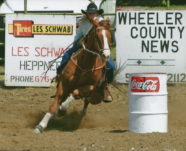
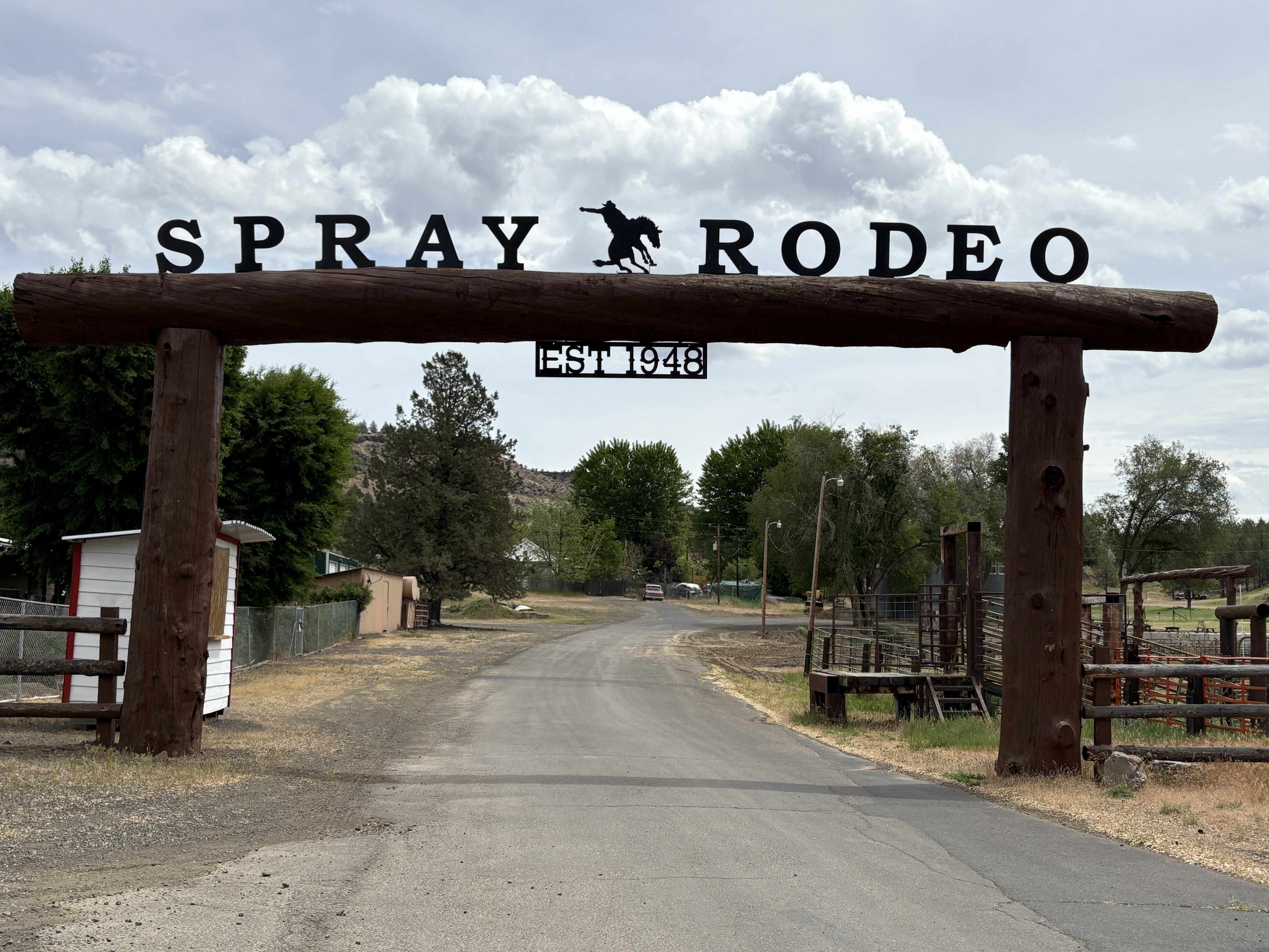
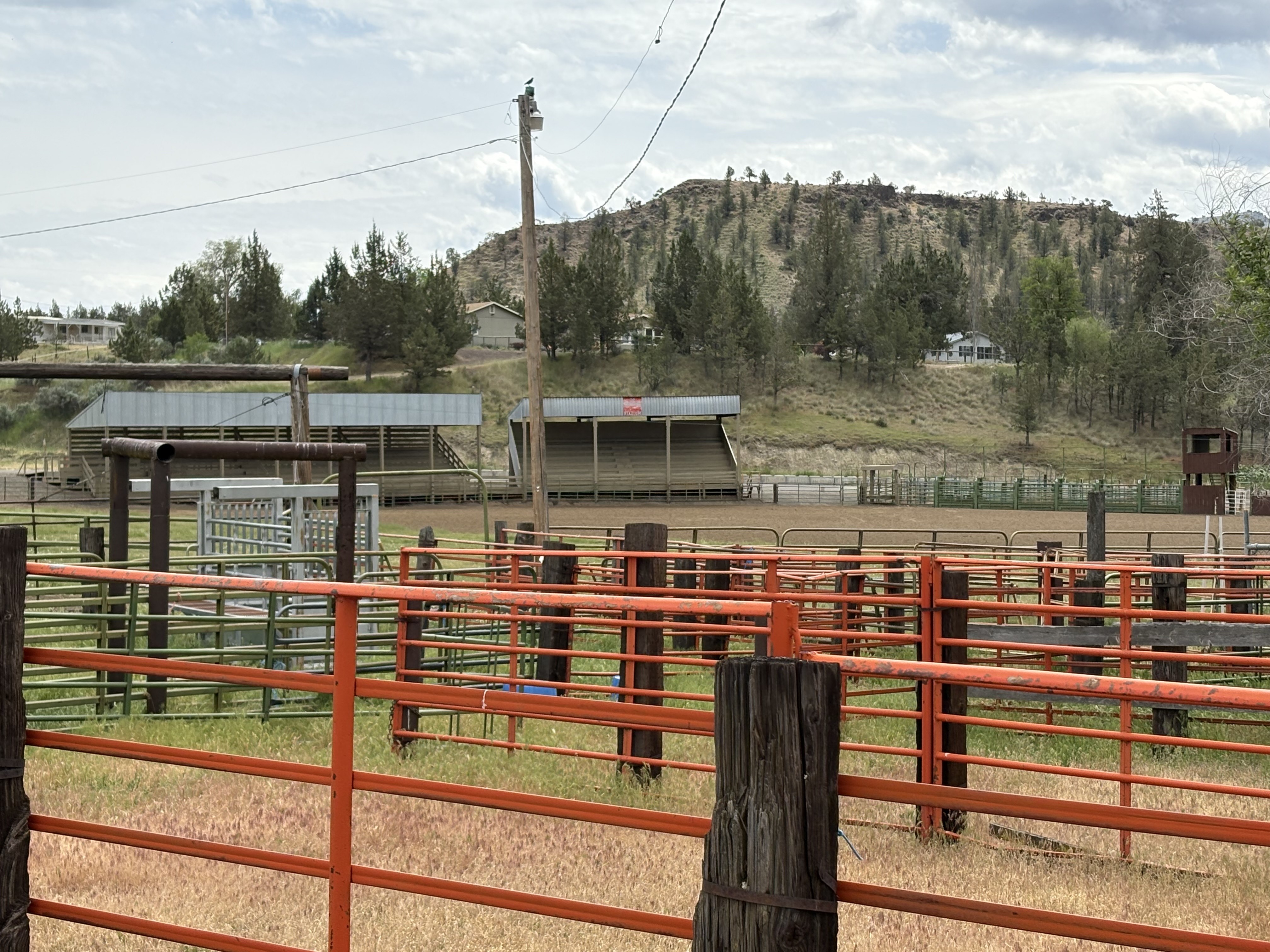
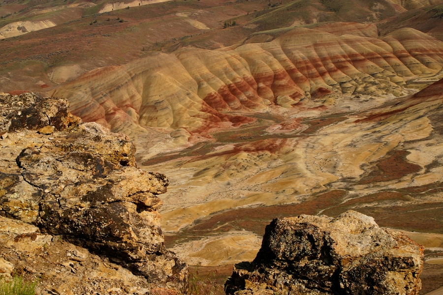
Spray and the surrounding region attract fishers, hunters, hikers, and rafters. Tourists visit the area on Travel Oregon’s Journey through Time Scenic Byway, explore the nearby John Day Fossil Beds and the Umatilla National Forest, and visit the Spray Museum in the First Baptist Church, built in 1912. Each May, the Spray Rodeo includes a two-day rodeo, a buckaroo breakfast, a parade, and the Eastern Oregon Half Marathon, the oldest half marathon run in Oregon.
-
![]()
Spray Museum.
Courtesy City of Spray -
![]()
Spray Courier, October 19, 1907.
Historic Newspapers -
![]()
Spray Rodeo.
Courtesy of City of Spray -
![]()
Spray Rodeo sign, May 2025.
Courtesy Tania Hyatt-Evenson
-
![]()
Spray Rodeo grounds, May 2025.
Courtesy Tania Hyatt-Evenson
-
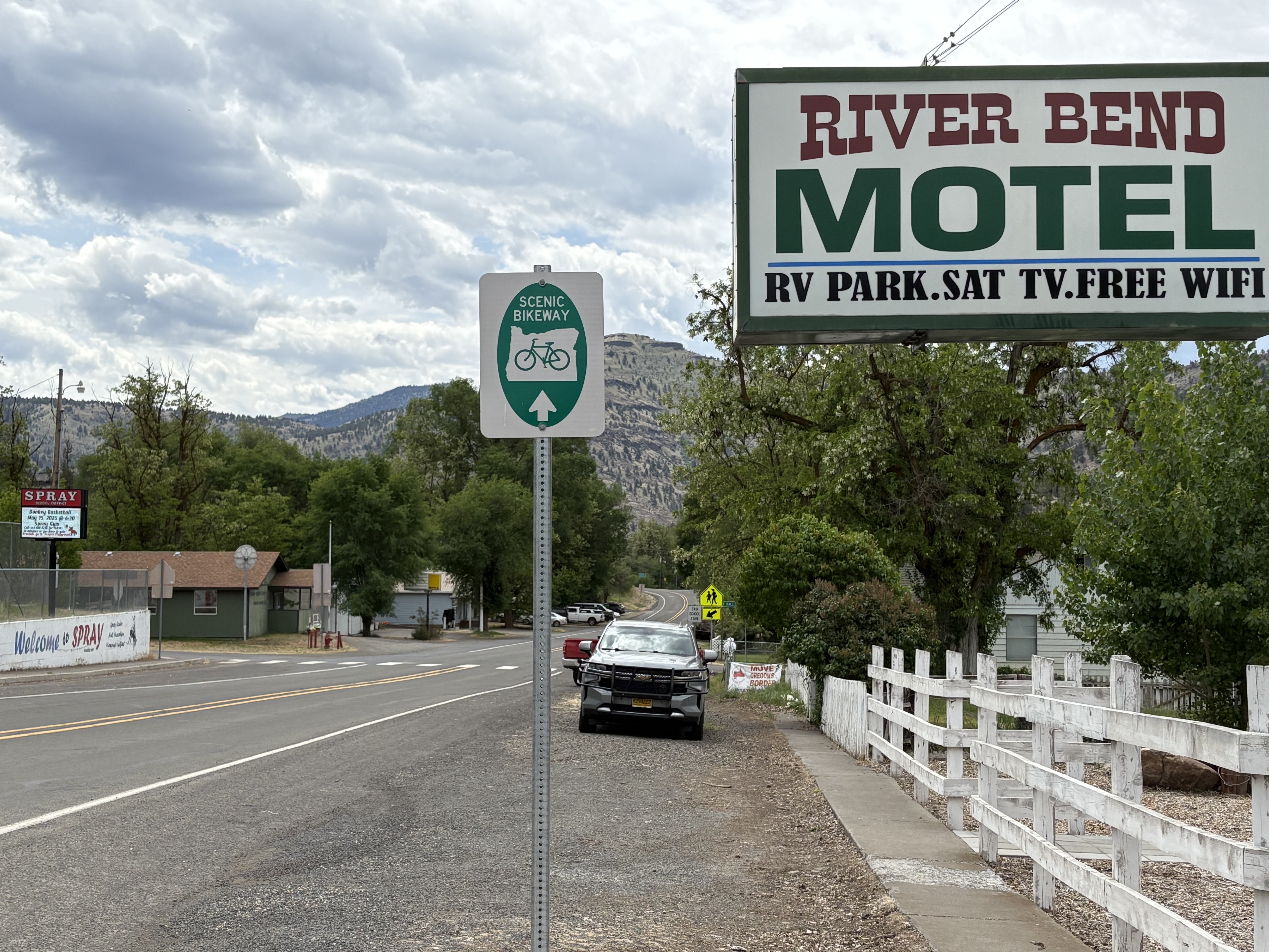
![]()
Spray, Oregon, May 2025.
Courtesy Tania Hyatt-Evenson
-
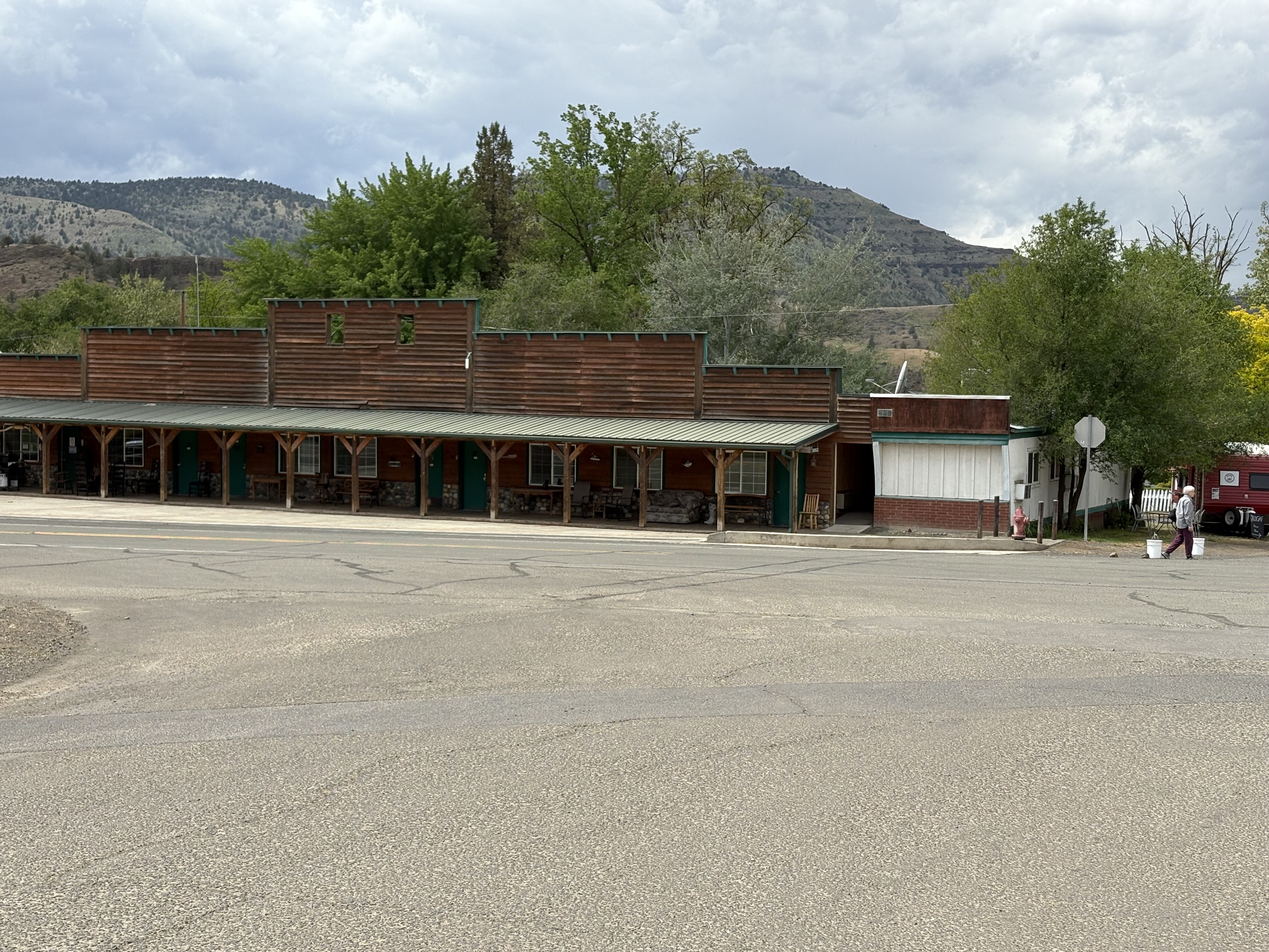
![]()
Spray, Oregon, May 2025.
Courtesy Tania Hyatt-Evenson

Related Entries
-
![Blue Mountains]()
Blue Mountains
The Blue Mountains, perhaps the most geologically diverse part of Orego…
-
![Fossil]()
Fossil
The town of Fossil is the county seat of Wheeler County and the cultura…
-
![John Day Fossil Beds National Monument]()
John Day Fossil Beds National Monument
John Day Fossil Beds National Monument, established in October 1975, sh…
-
![John Day River (north-central Oregon)]()
John Day River (north-central Oregon)
The 281-mile-long John Day River in north-central Oregon is the longest…
Map This on the Oregon History WayFinder
The Oregon History Wayfinder is an interactive map that identifies significant places, people, and events in Oregon history.
Further Reading
Fussner, F. Smith, ed. Glimpses of Wheeler County’s Past: An Early History of North Central Oregon. Portland, Ore.: Binford & Mort, 1975.