The town of Moro, the county seat of Sherman County, is located about eighteen miles south of Biggs Junction on the Columbia River. It is the smallest county seat in Oregon, with a total land area of less than half of a square mile and a population that has never recorded more than 420 residents.
The Tenino band of Warm Springs Indians gathered food and hunted game between the Deschutes and John Day rivers in present-day Sherman County. They traded with tribes throughout the region at Celilo Falls and fished for salmon on the Columbia River. The first EuroAmericans arrived in the area during the 1860s. Henry Barnum, who settled in the area in 1868, is credited as Moro’s founder. There are conflicting stories on how the town received its name. One version states that it was named after Moro, Illinois, a former home of Sherman County Judge O.M. Scott. Another is that it was named for the Moore brothers, timber barons from Linkville (Klamath Falls) who expressed interest in the townsite.
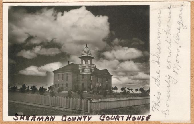
Moro was not yet incorporated when Sherman County was created from the northeast corner of Wasco County in 1889. The town of Wasco was designated the county seat, but lost the seat to Moro in 1891 when the Legislative Assembly moved the county line eighteen miles to the south, making Moro the more central location for county voters. A permanent courthouse was completed in 1899, the same year Moro was incorporated. It is one of only three county courthouses in the state used continuously since the nineteenth century.
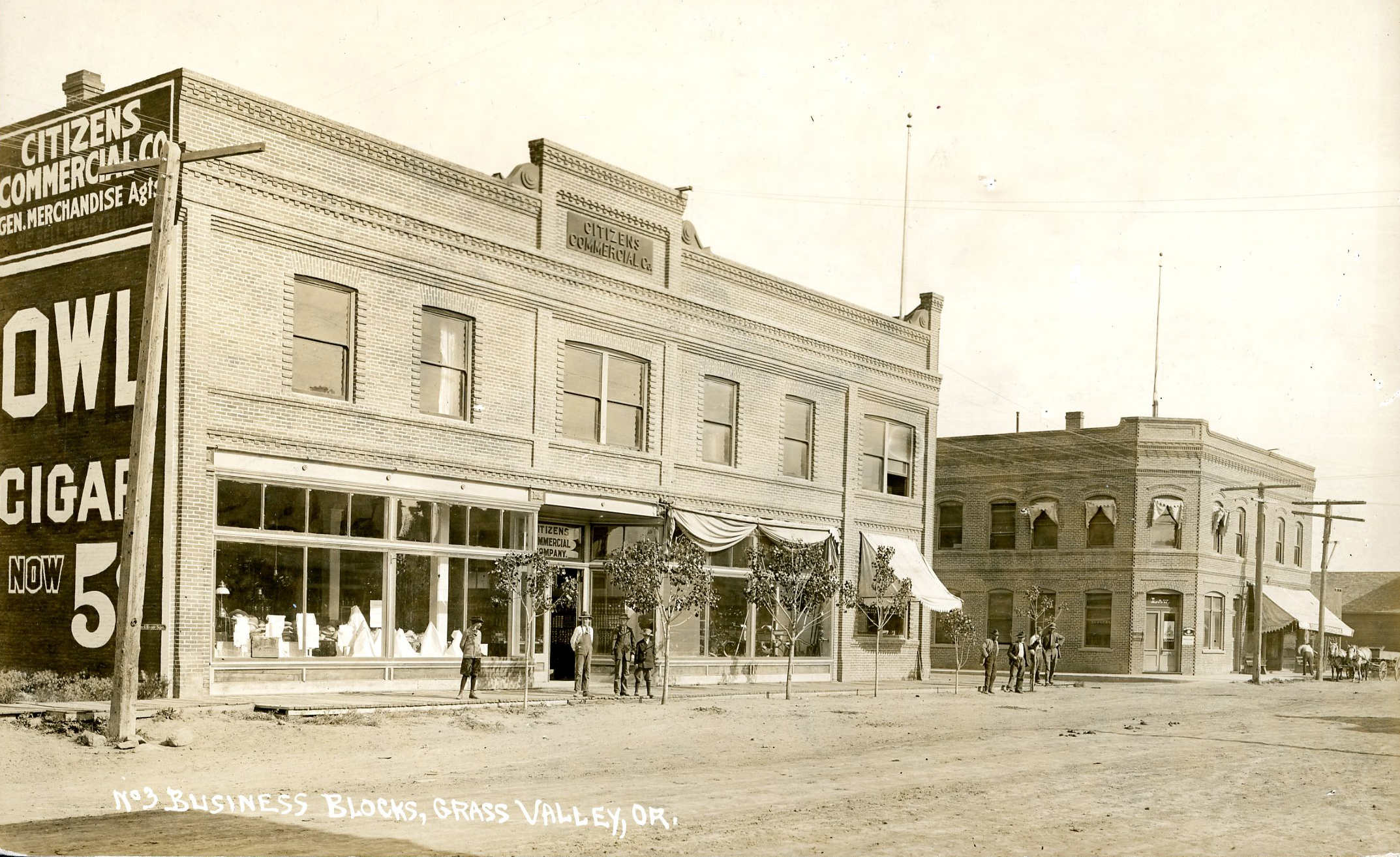
The rolling plateaus of Sherman County are ideal for growing soft white winter wheat and native grasses for livestock grazing. Beginning in the 1880s, Sherman County became the largest producer of wheat in the state. With the building of the Columbia Southern Railroad depot in Moro in 1898, the town became a transportation center for shipping wheat and livestock to national and international markets. By the end of the nineteenth century, Moro had two hotels, a blacksmith, a flouring mill, mercantile and dry goods stores, schools, several churches, a county courthouse, and a newspaper.
The agricultural importance of the region was recognized by the Oregon Agricultural College (now Oregon State University) when in 1909 it established its principal research station, now named the Columbia Basin Agricultural Research Center, in Moro. The center studies low-rainfall, nonirrigated, alternate-year crops, including wheat and barley.
Sherman County has the largest percentage of cultivated land in Oregon, and agriculture and livestock are its primary industries. Because of its location on Highway 97, between recreational sites along the Deschutes River and the Cottonwood Canyon State Park, Moro also serves a healthy tourist economy. The area embraced wind energy in the twenty-first century, and hundreds of wind turbines dot the landscape in Sherman County, providing power to the surrounding area; excess power is sold to Snohomish County in Washington. County residents receive a yearly dividend in compensation by wind companies using the land.
-
![]()
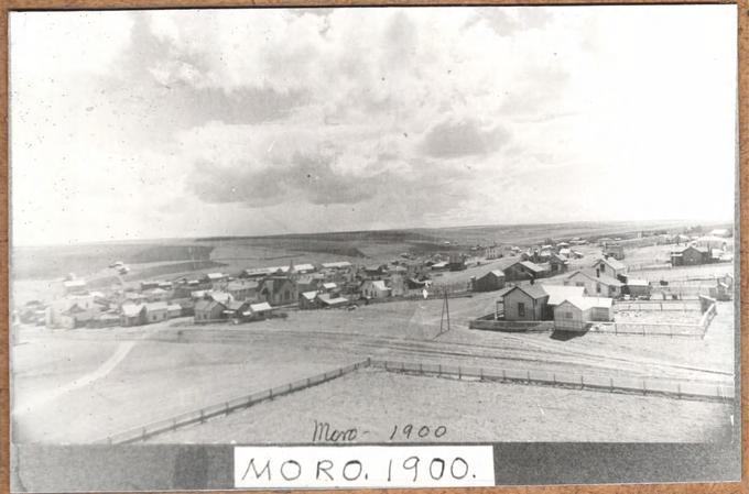
Moro, Oregon, 1900.
Courtesy Oregon State University Libraries -
![]()
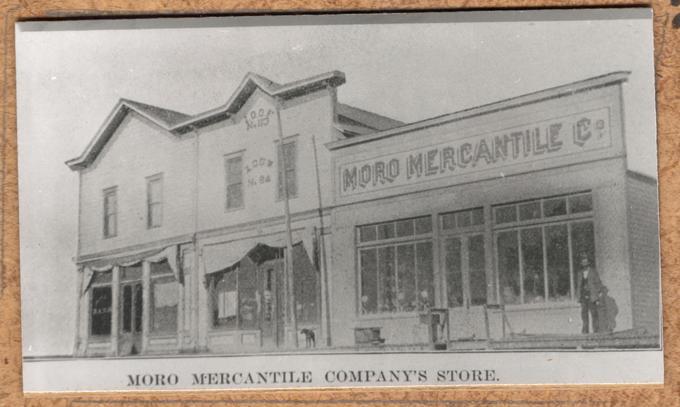
Moro Mercantile, Co.,.
Courtesy Oregon State University Libraries -
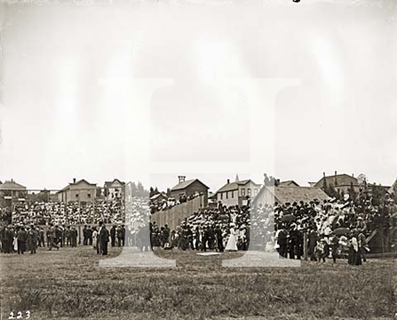
![]()
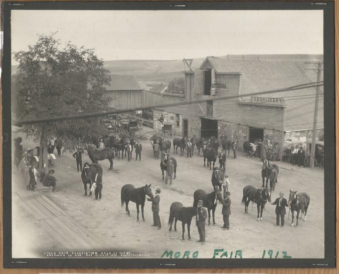
Stock Fair Association held at Moro in Sherman Co., Oregon, 1910.
Courtesy Oregon State University Libraries -
![]()
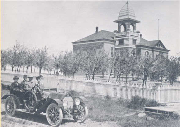
Sherman County Courthouse.
Courtesy Oregon State University Libraries -
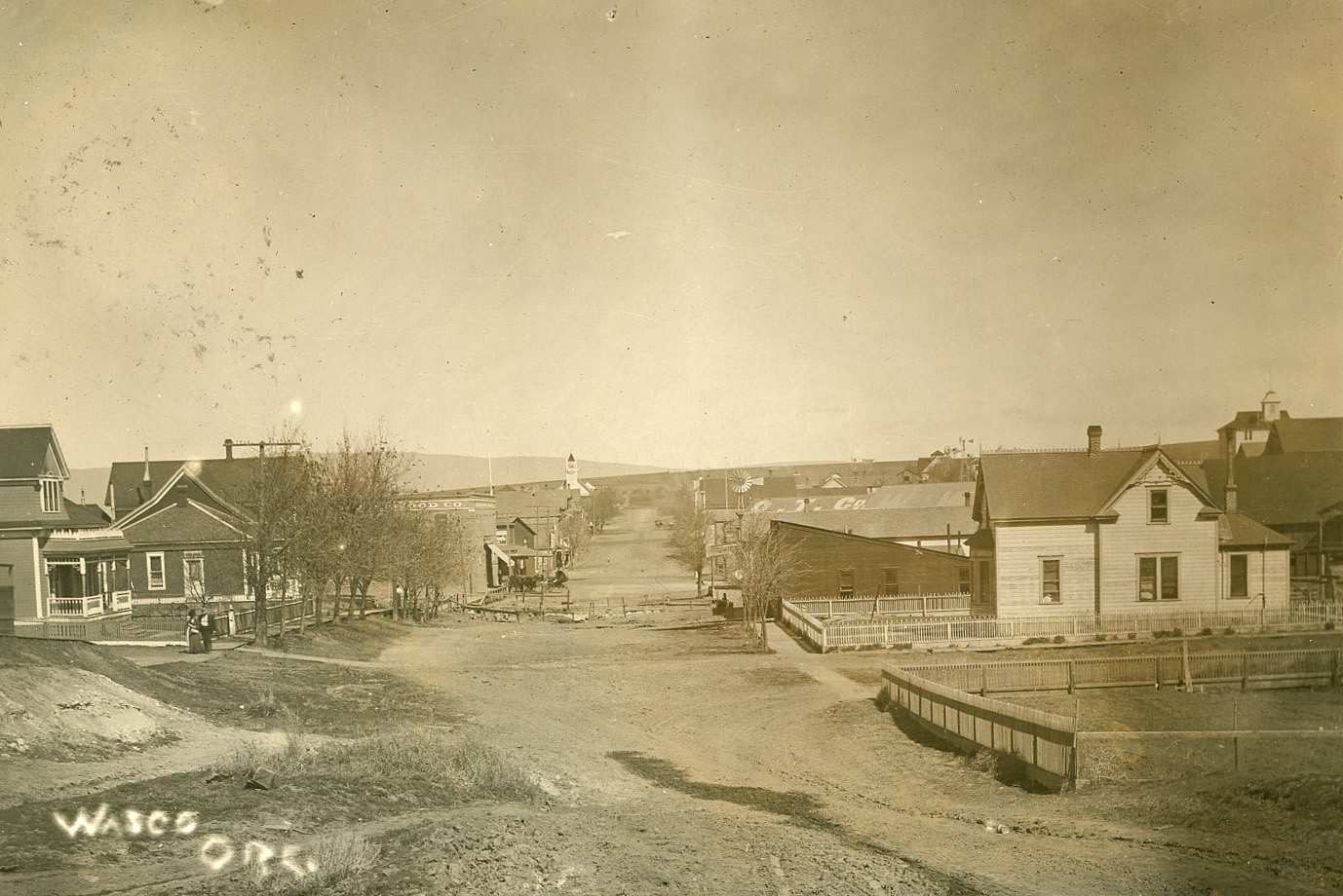
![]()
Early Moro, Oregon.
Oregon Historical Society Research Library, Photo file #767-A
-
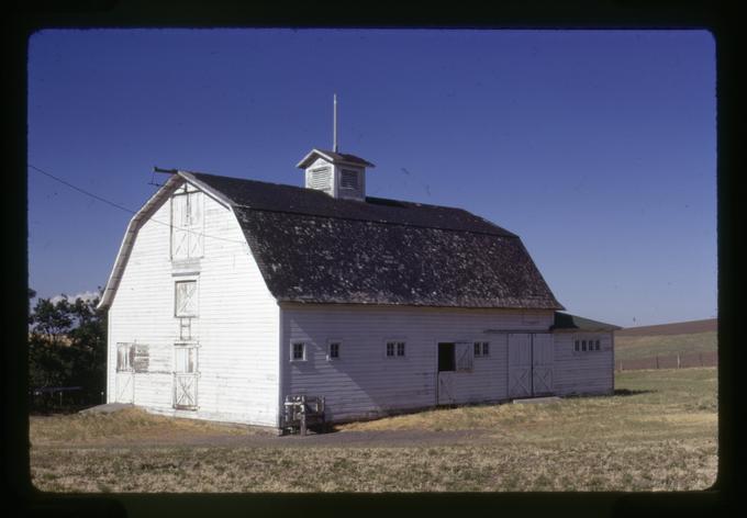
![]()
OSU Agricultural Experiment Station barn, 1974.
Courtesy Oregon State University Libraries
Related Entries
-
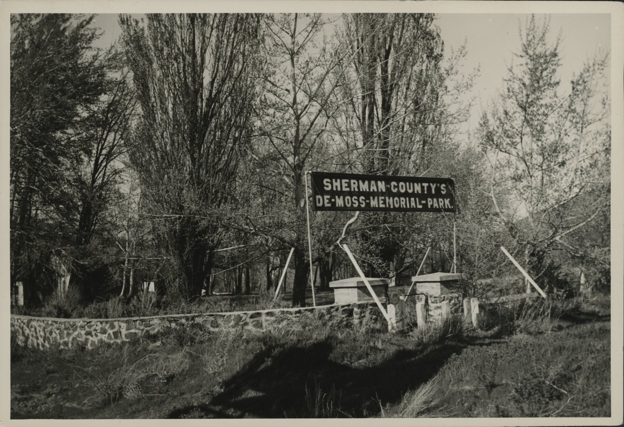
![DeMoss Springs Park]()
DeMoss Springs Park
The 2.5-acre DeMoss Springs Park is the only county park in Sherman Cou…
-
![Grass Valley]()
Grass Valley
Early EuroAmericans traveling through north-central Oregon just east of…
-
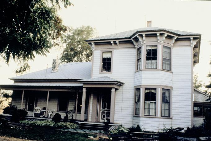
![John and Helen Moore House]()
John and Helen Moore House
The John A. and Helen Moore House is one of the earliest houses built i…
-
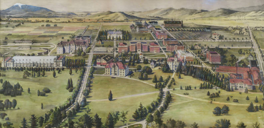
![Oregon State University]()
Oregon State University
Oregon State University (OSU) traces its roots to 1856, when Corvallis …
-
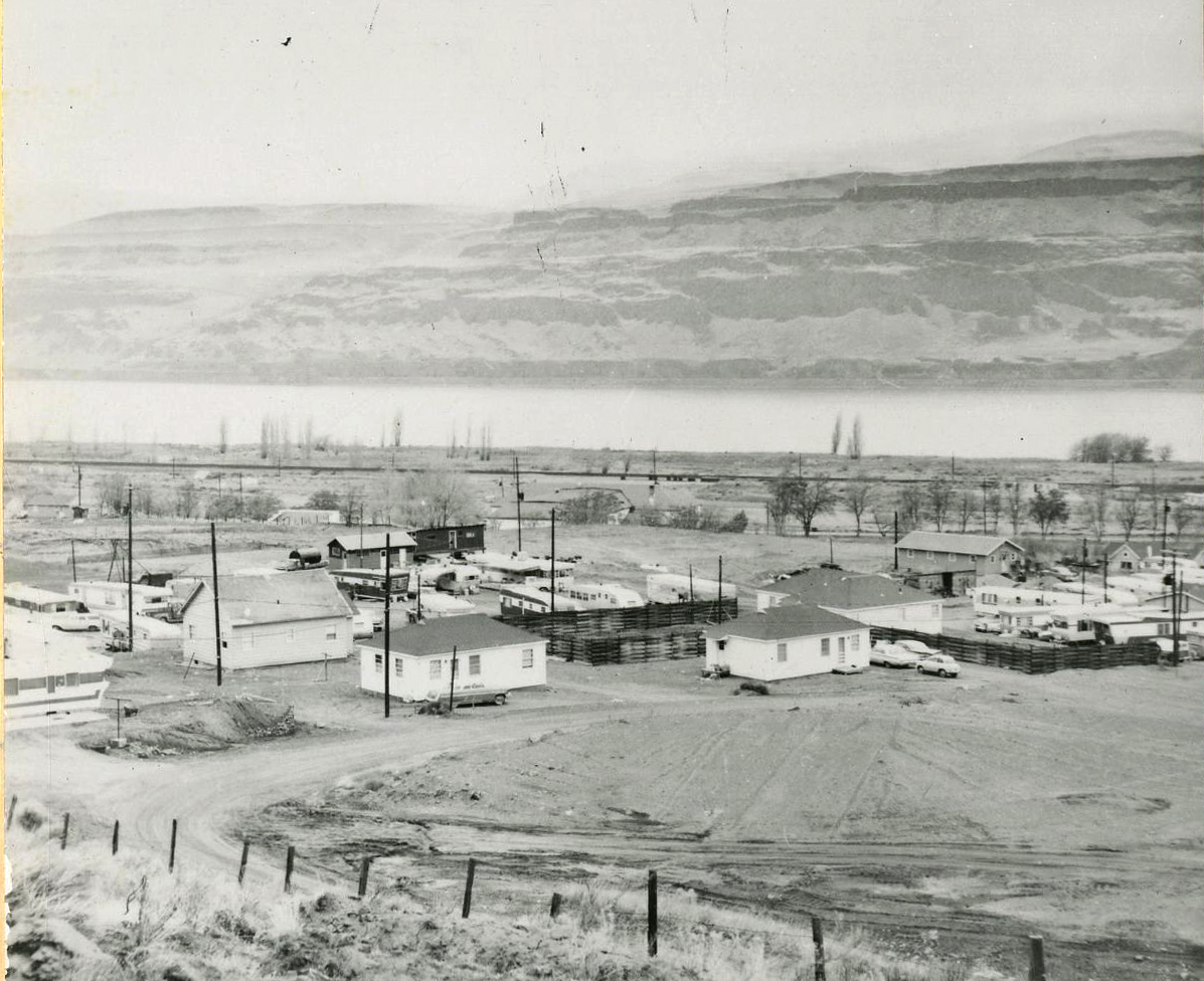
![Rufus]()
Rufus
The small city of Rufus, incorporated in 1965, is located along the Col…
-
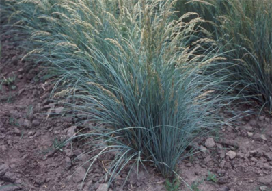
![Sherman Big Bluegrass]()
Sherman Big Bluegrass
Sherman Big Bluegrass (Poa secunda, formerly P. ampla) is a perennial b…
-
![Sherman County Courthouse]()
Sherman County Courthouse
The Sherman County Courthouse in Moro is one of only three county court…
-
![Wasco]()
Wasco
Wheat farming, ranching, and wind turbines drive the economy of the sma…
Related Historical Records
Map This on the Oregon History WayFinder
The Oregon History Wayfinder is an interactive map that identifies significant places, people, and events in Oregon history.
Further Reading
"Sherman County History." State of Oregon County Records Guide.
“Dryland wheat growers help keep OSU research station open at Moro.” Times Journal, January 3, 2002.
Robbins, William G. Landscapes of Promise: The Oregon Story 1800-1940. Seattle: University of Washington Press, 1997.