Located in Oregon's mid-Willamette Valley, French Prairie was resettled by French-Indian families from the 1820s through the 1840s. In the early 1850s, Pierre Charles Fournier de Saint Amant visited Oregon and was one of the first to use a version of the name "French Prairie" in print, calling it les prairies françaises. French Prairie was historically bounded by the Willamette River to the north and west, the Pudding River to the east, and the remnants of Lake Labish (Lac labiche) to the south and had five major towns: Butteville, Champoeg, St. Paul, St. Louis, and Gervais. Today, the geographical area also includes Woodburn.
French Prairie takes its name from the bi-cultural French Canadian and Indian families who re-settled the area in the 1830s. These French-Indian settlers were important historical actors in Euro-American colonization of the region, which began with the fur trade in the 1810s. French Prairie was originally the home of the Ahantchuyuk Kalapuyans, an aboriginal people whose numbers declined precipitously during 1830s and 1840s as a result of disease and Euro-American emigration.
During the early 1840s, the French Canadian men who settled in French Prairie attended debates about the organization of a community government. Wary of the bureaucratic and taxation burdens imposed by a more complex governmental apparatus, they largely supported a limited governmental structure. Nevertheless, in May 1843 at Champoeg, a half dozen or so of the leading French Canadians joined with their American neighbors in voting to form a provisional government. Eventually, the French Canadians who did not vote for the new government reached a compromise with their American neighbors due to their long-standing influence in the valley and their position as landholders.
Champoeg was largely washed away in the flood of 1861, and a year later the original townsite from the mid-1800s was officially abandoned. Following the devastating flood, the town of St. Paul became the major focus of settlement in the northern section of French Prairie. From the late 1800s through the 1910s, the author's great-great-grandparents, Adolphe and Marguerite Jette, ran several related businesses at the relocated Champoeg (Newellsville).
At the turn of the twentieth century, a statewide heritage movement developed to commemorate the history of the Oregon Provisional Government. The Oregon Historical Society and the Oregon Pioneer Association, which included many descendants of the French-Indian settlers of French Prairie, supported this effort. In May 1901, the State of Oregon unveiled a historical marker at Champoeg to commemorate the May 1843 vote. From 1901 through 1958, the state progressively secured title to 159 acres encompassing the original townsite at Champoeg and developed the area into the Champoeg State Park. Through the mid-1900s, Champoeg Day, commemorating the history of the Oregon Provisional Government at Champoeg, was a popular local event.
Today the Champoeg State Heritage Area, considered a "gateway" to the Willamette Valley, hosts a visitor center, historic sites, campsites for travelers, and bicycle trails. The area sponsors outdoor and nature activities and educational and historical programs for visitors and students. Although the history of French Prairie is now less prominent in the state's collective memory, the staff and volunteers at Champoeg Park and the Friends of Historic Champoeg educate visitors and students about the area's history, including the role of the French-Indian settlers in the early 1800s.
-
![Hudson's Bay Warehouse at far right]()
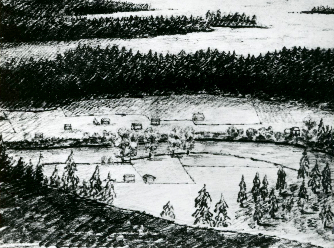
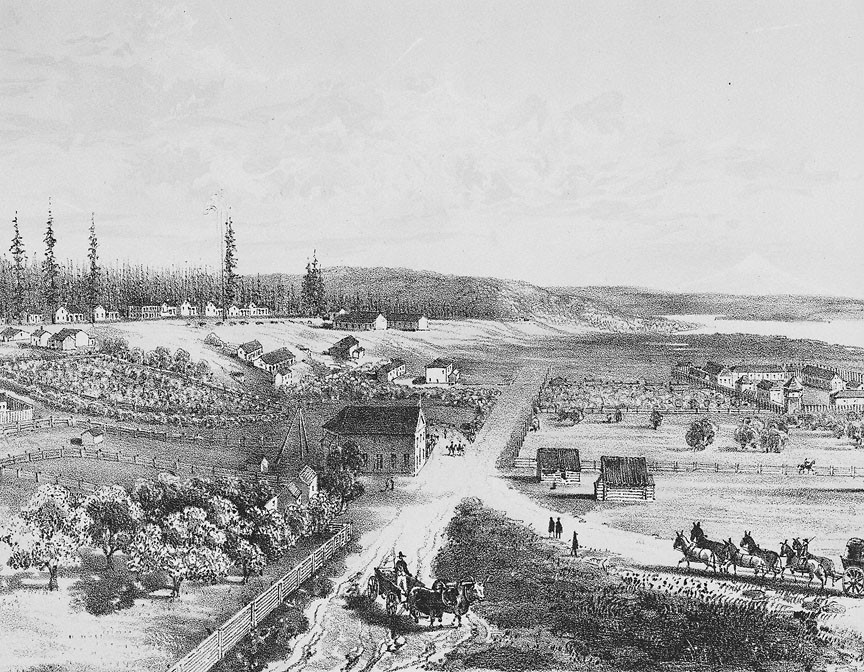
Drawing of Champoeg Village, by ethnologist George Gibbs, 1851.
Hudson's Bay Warehouse at far right Courtesy Oregon Hist. Soc. Research Lib., 002924
-
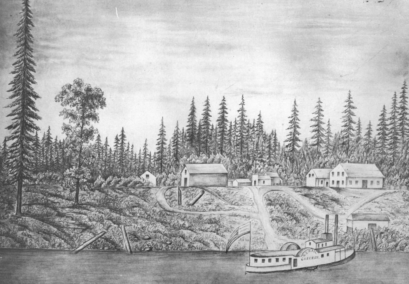
![]()
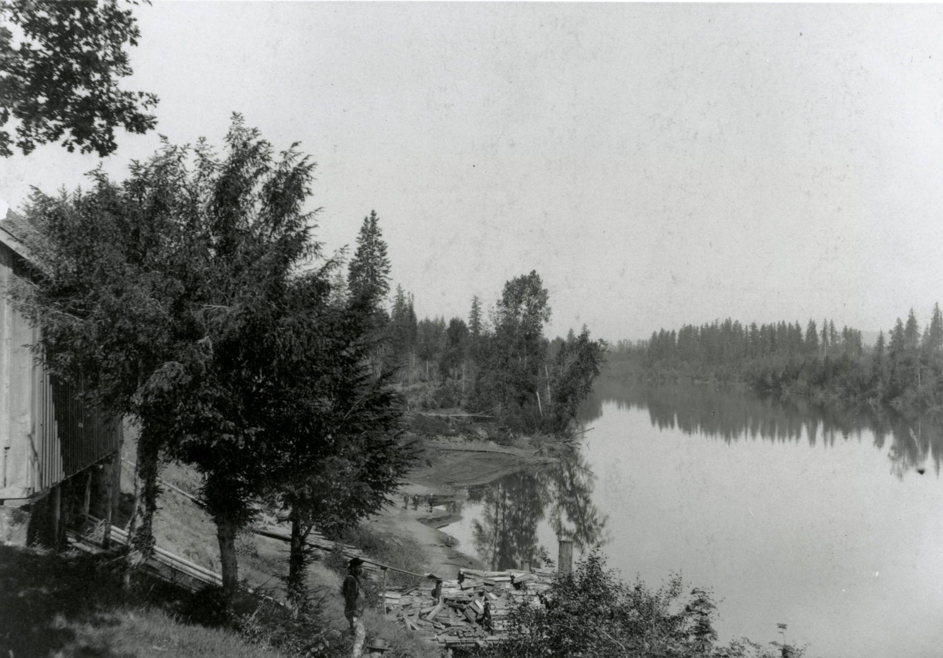
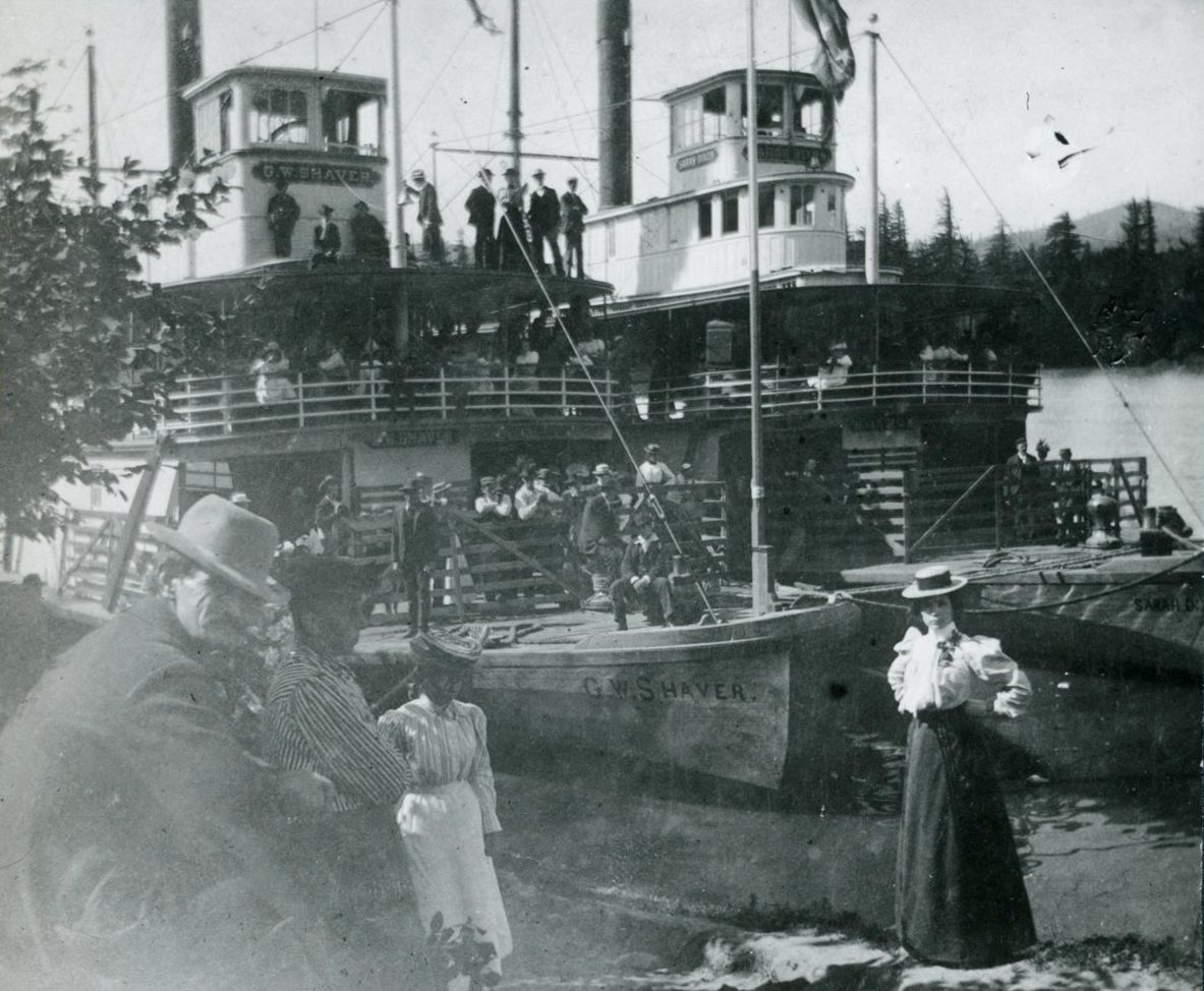
Champoeg Landing, 1890.
Courtesy Oregon Hist. Soc. Research Lib., Orhi8379
-
![]()
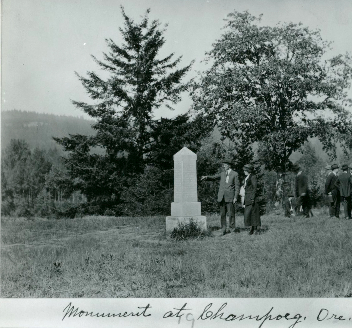
Monument to first provisional government, Champoeg, c.1910.
Courtesy Oregon Hist. Soc. Research Lib., 003000
-
![]()
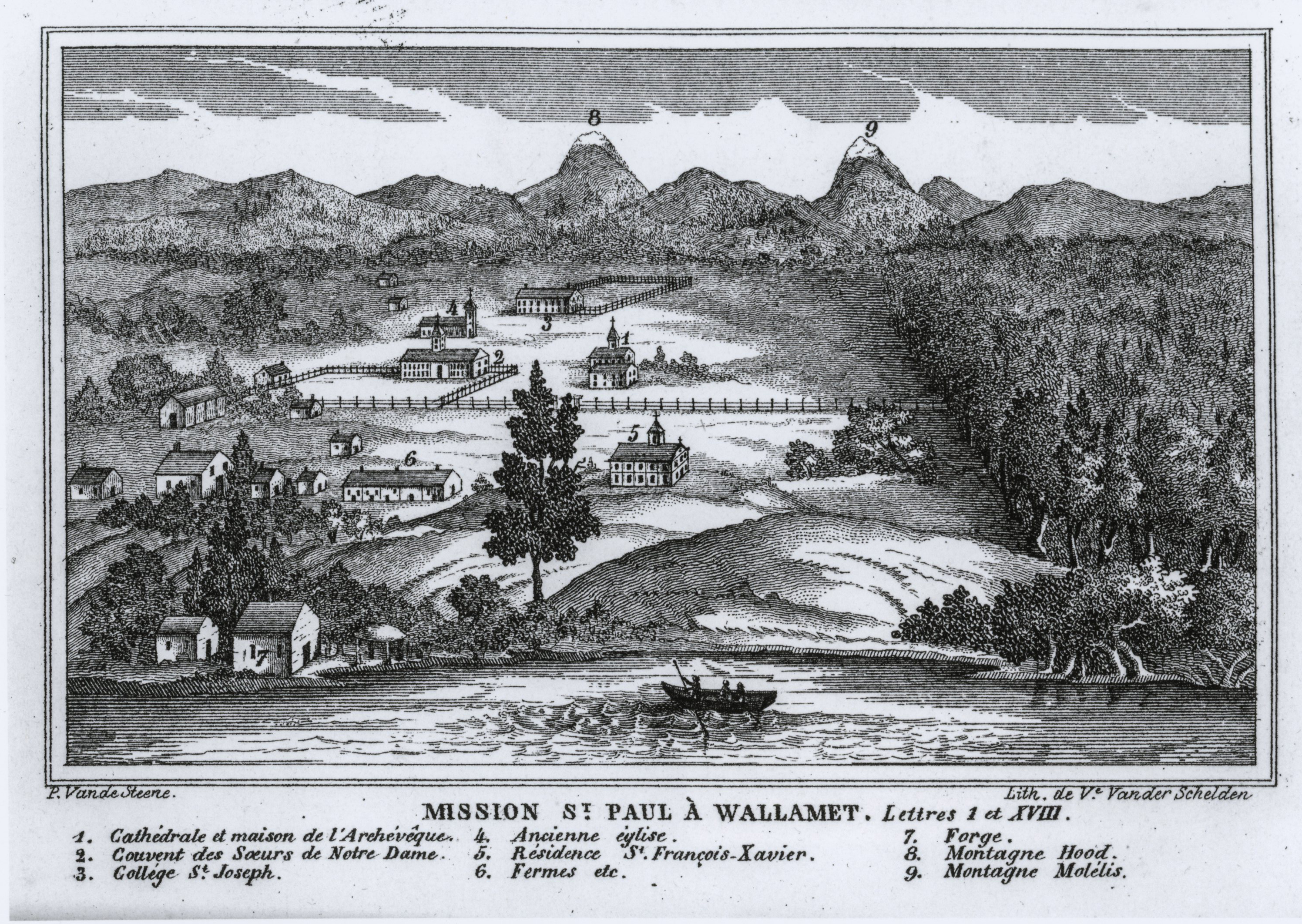
St. Paul Mission, drawing by Pierre-Jean de Smet.
Courtesy Oregon Hist. Soc. Research Lib., bb007048
-
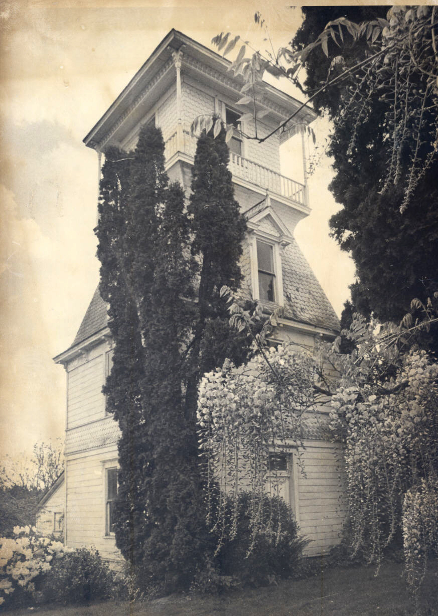
![(photo taken in 1977)]()
St. Paul windmill, built in 1896.
(photo taken in 1977) Courtesy Oreg. Hist. Soc. Research Library
-
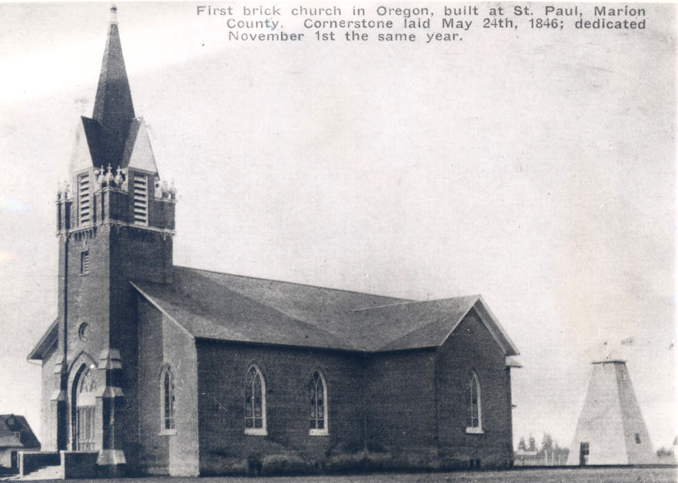
![]()
St. Paul Roman Catholic Church.
Courtesy Oreg. Hist. Soc. Research Library
-
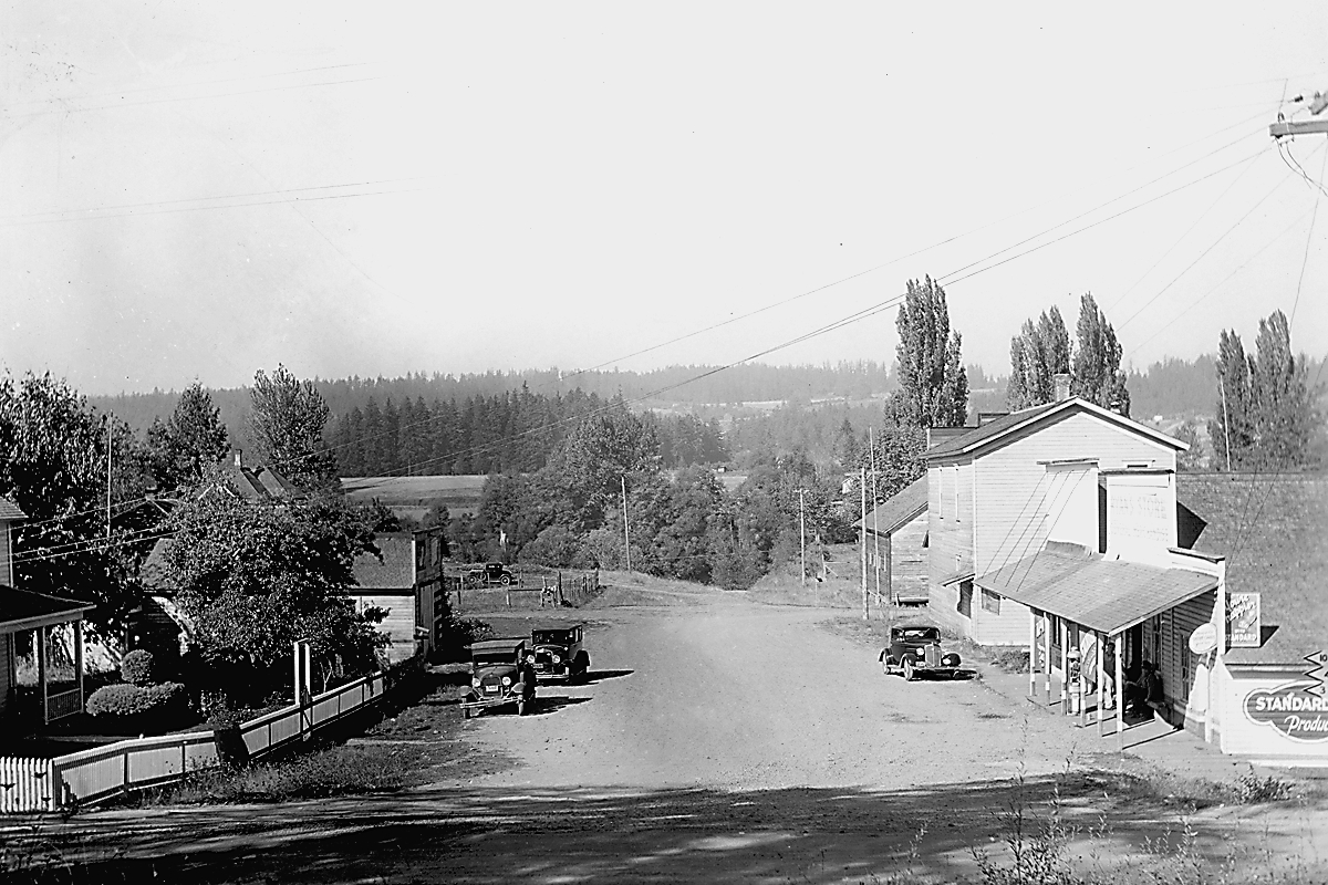
![Butteville, Aug. 1938.]()
Butteville, 1938, OrHi 60020.
Butteville, Aug. 1938. Oreg. Hist. Soc. Research Libr., OrHi 60020
Related Entries
-
![Butteville]()
Butteville
In its heyday, during the latter half of the nineteenth century, the to…
-
![Champoeg]()
Champoeg
The town of Champoeg had a brief but memorable life. Instigated by geog…
-
![Hudson's Bay Company]()
Hudson's Bay Company
Although a late arrival to the Oregon Country fur trade, for nearly two…
-
![Kalapuyan peoples]()
Kalapuyan peoples
The name Kalapuya (kǎlə poo´ yu), also appearing in the modern geograph…
-
![St. Paul]()
St. Paul
St. Paul was one of the first white settlements in Oregon, established …
Related Historical Records
Map This on the Oregon History WayFinder
The Oregon History Wayfinder is an interactive map that identifies significant places, people, and events in Oregon history.
Further Reading
Hussey, John A. Champoeg: Place of Transition, A Disputed History. Portland: Oregon Historical Society and Oregon State Highway Commission, 1967.
Jetté, Melinda Marie. "‘we have allmost Every Religion but out own': French-Indian Community Initiatives and Social Relations in French Prairie, Oregon, 1834-1837." Oregon Historical Quarterly 108 (Summer 2007): 222-245.
Jetté, Melinda Marie. "Ilot oublié de la diaspora canadienne française: la vallée de la Willamette en Orégon." In Retour sur la Franco-Amérique. Edited by Dean Louder and Eric Waddell. Sillery, Quebec: Les éditions du Septentrion, 2008.
Jetté, Melinda Marie. "At the hearth of the crossed races": Intercultural Relations and Social Change in French Prairie, Oregon, 1812-1843. PhD dissertation, University of British Columbia, 2004.
Mckay, Harvey J. St. Paul, Oregon, 1830-1890. Portland, Ore.: Binford & Mort, 1980.
Oregon Parks and Recreation Commission, "Chapoeg's Buried Treasure." Progress Report 7 (Spring 2004). http://www.friendsoffrenchprairie.org/pdf/DrBrauner.pdf.