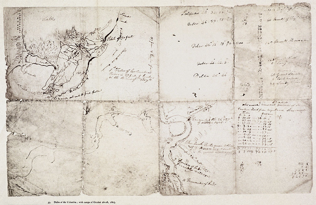

Dalles of the Columbia, 1805
This roughly sketched map labeled Dalles of the Columbia, with camps of October 26-28, 1805, depicts the area from Celilo Falls downstream to the Klickitat River. It was drawn by William Clark in late 1805 and reproduced in Reuben Gold Thwaites’s 1905 edition of the Lewis and Clark journals, from which this copy has been taken. This area was the largest Native trading center in the Pacific Northwest for several millennia prior to white settlement. Thousands of Native people from all over the region gathered every summer to trade, fish, and socialize at what Lewis and Clark called the “Great Mart of all this Country.” The area was also home to a dense population of Wasco, Wishram, and Tenino Indians, some of whose villages are mapped here.
View source3 of 12