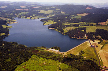
Henry Hagg Lake is a manmade reservoir located in Scoggins Valley, just a few miles southwest of the City of Forest Grove. Owned by the U.S. Bureau of Reclamation (USBR) and maintained by Washington County, the reservoir provides water to residences, farms, and businesses throughout the county. It is the only USBR project in northwest Oregon.
Beginning in the early 1830s, some of Oregon's earliest pioneer farming communities settled in the Scoggins Valley area. The farming culture they began continues today, as agriculture is still an integral part of the local economy. Early commercial agriculture in Washington County included berries, tree fruits, and onions. Nursery products and grass seed, along with berries and tree fruits, now account for the majority of agricultural products produced in the area. Population growth, fueled by the success of local agriculture, increased the need for both residential and irrigation water.
To satisfy this need, Henry Hagg Lake was created in 1974 behind an earthfill dam on Scoggins Creek. The reservoir was named in honor of Henry Hagg, an Oregon dairy farmer who was active in local agricultural committees during the first half of the twentieth century.
The agriculture-based economy of Washington County is dependent on the reservoir and dam to provide irrigation and drinking water as well as flood mitigation services. The cities of Forest Grove, Hillsboro, and Beaverton, along with smaller communities, rely on the reservoir for drinking water and other municipal needs, and for industrial uses. The lake also provides recreational opportunities, including trout fishing, swimming, and boating and several picnic areas and hiking trails.
Anticipating increased population growth, several Washington County agencies are creating a plan that involves raising the level of Scoggins Dam to increase the reservoir’s holding capacity.
-
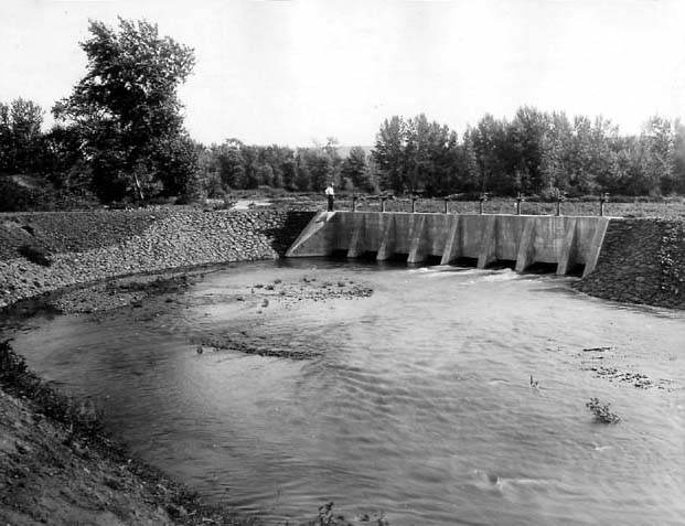
![Henry Hagg Lake]()
Henry Hagg Lake.
Henry Hagg Lake Courtesy U.S. Bureau of Reclamation
Related Entries
-
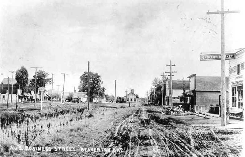
![Beaverton]()
Beaverton
Beaverton is the seventh largest city in Oregon and the second largest …
-
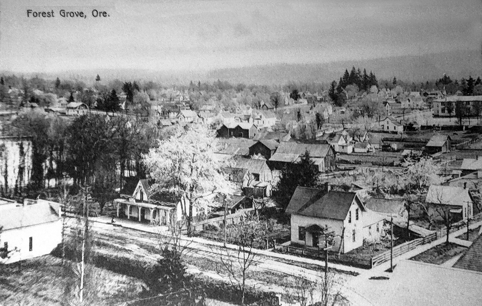
![Forest Grove]()
Forest Grove
Forest Grove is a city of approximately 26,225 residents located in the…
-
![Hillsboro]()
Hillsboro
Hillsboro, the seat of Washington County, is in the Tualatin River Basi…
-
![U.S. Bureau of Reclamation]()
U.S. Bureau of Reclamation
The U.S. Bureau of Reclamation, in the Department of the Interior, has …
Map This on the Oregon History WayFinder
The Oregon History Wayfinder is an interactive map that identifies significant places, people, and events in Oregon history.
Further Reading
Atlas of Oregon Lakes. Online version. https://aol.research.pdx.edu/
Cass, Penny L., and J. Ronald Miner. The Historical Tualatin River Basin. Corvallis: Oregon Water Resources Research Institute, Oregon State University, 1993.
Johnson, Daniel M. 1985. Atlas of Oregon Lakes. Corvallis: Oregon State University Press.
Washington County. "Hagg Lake Park." http://www.co.washington.or.us/support_services/facilities/parks/hagglake/index.cfm