Originally the site of a Clatsop village called Ne-ahk-stow, Hammond serves as the gateway to Fort Stevens State Park. Located on the west side of Youngs Bay, near Astoria, the town was incorporated as New Astoria in 1899. In 1915, townspeople voted to change the name to Hammond in order to correspond with the name of railroad station and post office.
Hammond was named for Andrew B. Hammond, a Montana businessman who completed the Astoria and Columbia River Railroad from Astoria to Portland in 1898. In 1895, as an inducement to build the railroad, Astorian business people gave Andrew Hammond a subsidy of $300,000, plus 3,000 acres of land in Astoria and 1,800 acres on the peninsula across Youngs Bay, which ultimately became the towns of Flavel and New Astoria. The estimated value of the town lots at the time was $1,787,335.
Envisioning a new city that would compete with Astoria as the entrepôt of the Pacific Northwest, Andrew Hammond lost no time cashing in on his subsidy and began “carefully and scientifically” platting a city, including lots for houses, warehouses, factories, and wharves. In 1896, he incorporated the Flavel Land Development Company, partnering with several of the businessmen who had donated lands for the subsidy. The July 24, 1895, Oregonian predicted that New Astoria would become the “greatest harbor on the Pacific coast north of San Francisco” and raved that, “considering the position and its advantage, this point is unequalled in the United States as a site for a great city.” By the end of 1896, New Astoria had a population of six hundred people.
In 1903, Hammond purchased two thousand feet of waterfront from Skipanon Creek to Fort Stevens and announced plans for a mammoth sawmill to process his newly acquired timber in the Coast Range. Five years later, however, he purchased the Tongue Point lumber mill in Astoria, forsaking his namesake town and focusing instead on commercial development in the larger city. The town of Hammond became a bedroom community to Astoria and in 1991 was absorbed into the town of Warrenton.
-
![]()
Astoria and Columbia River Railroad; Hammond in top row, right of headlight, 1896.
Courtesy Oregon Hist. Soc. Research Lib., 65758
-
![]()
Point Adams Coast Guard station, Hammond, 1957.
Courtesy Oregon Hist. Soc. Research Lib., 006099
-
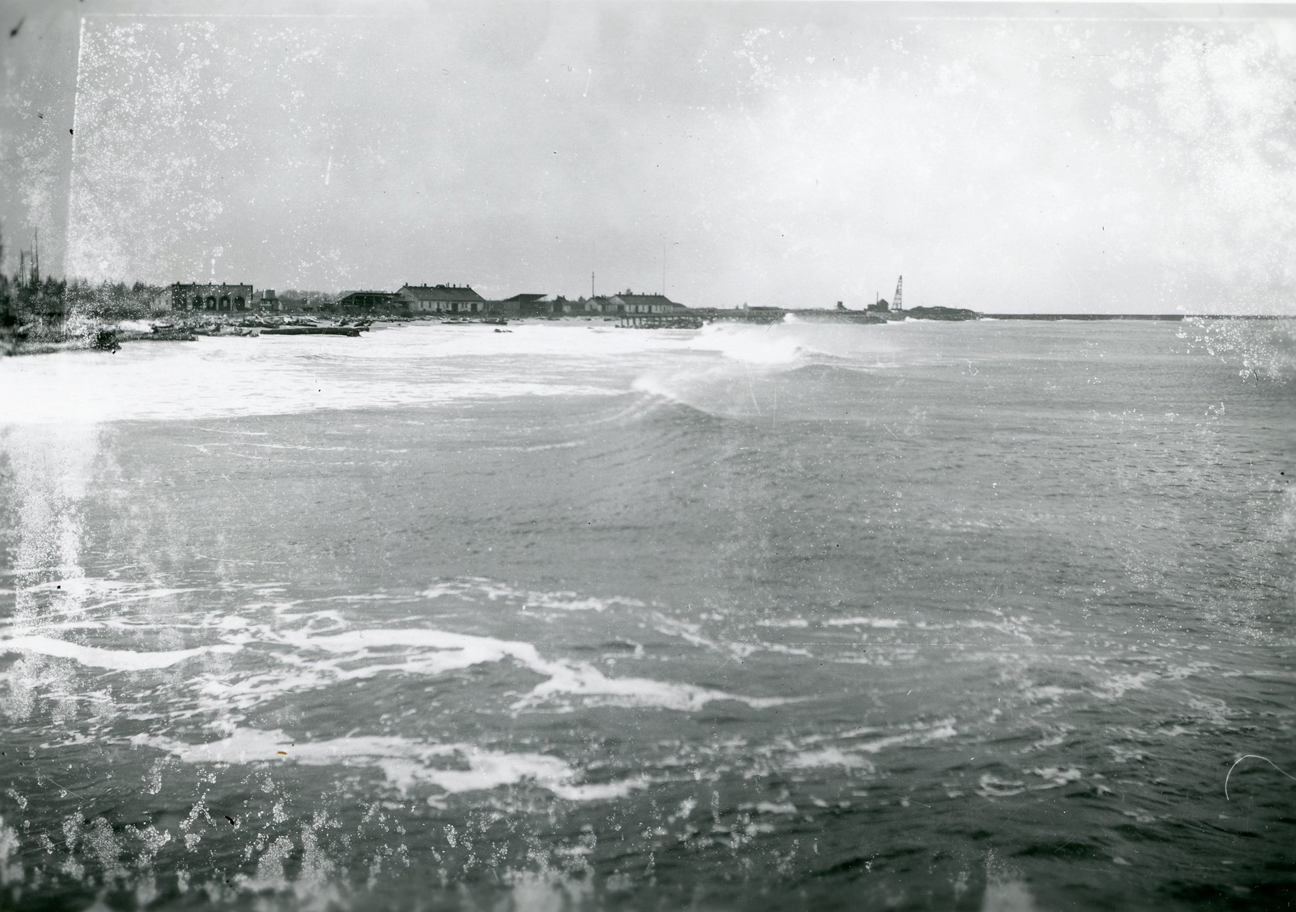
![]()
View of the jetty near Fort Stevens.
Courtesy Oregon Hist. Soc. Research Lib., 27906
-
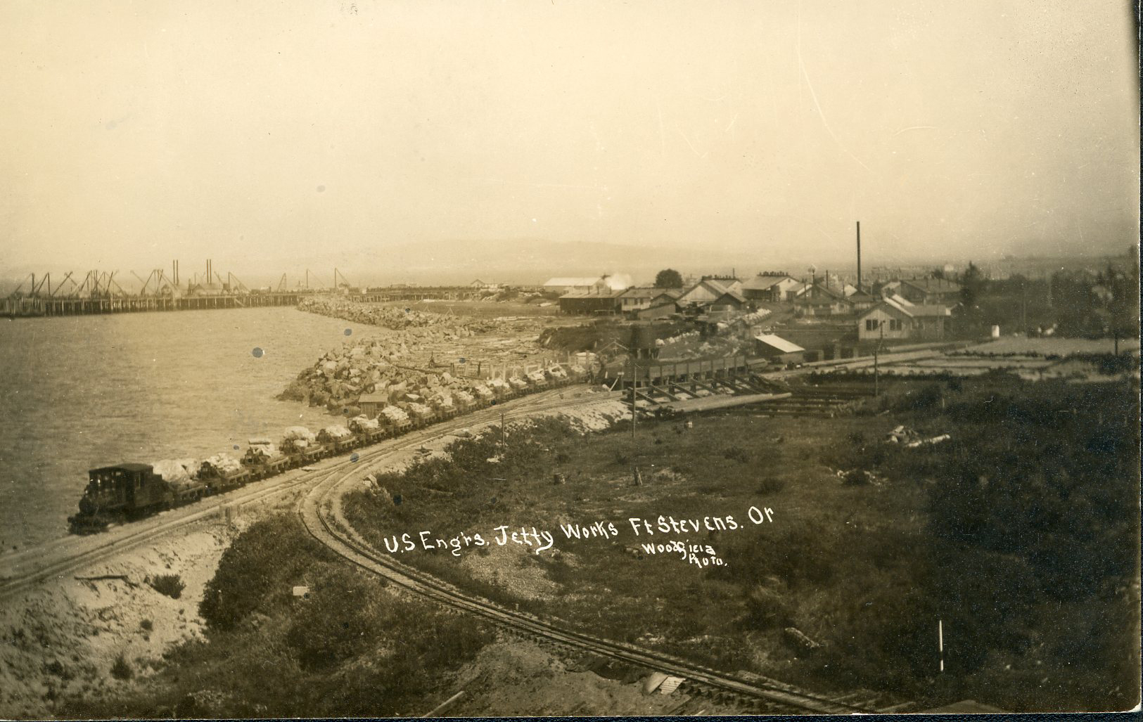
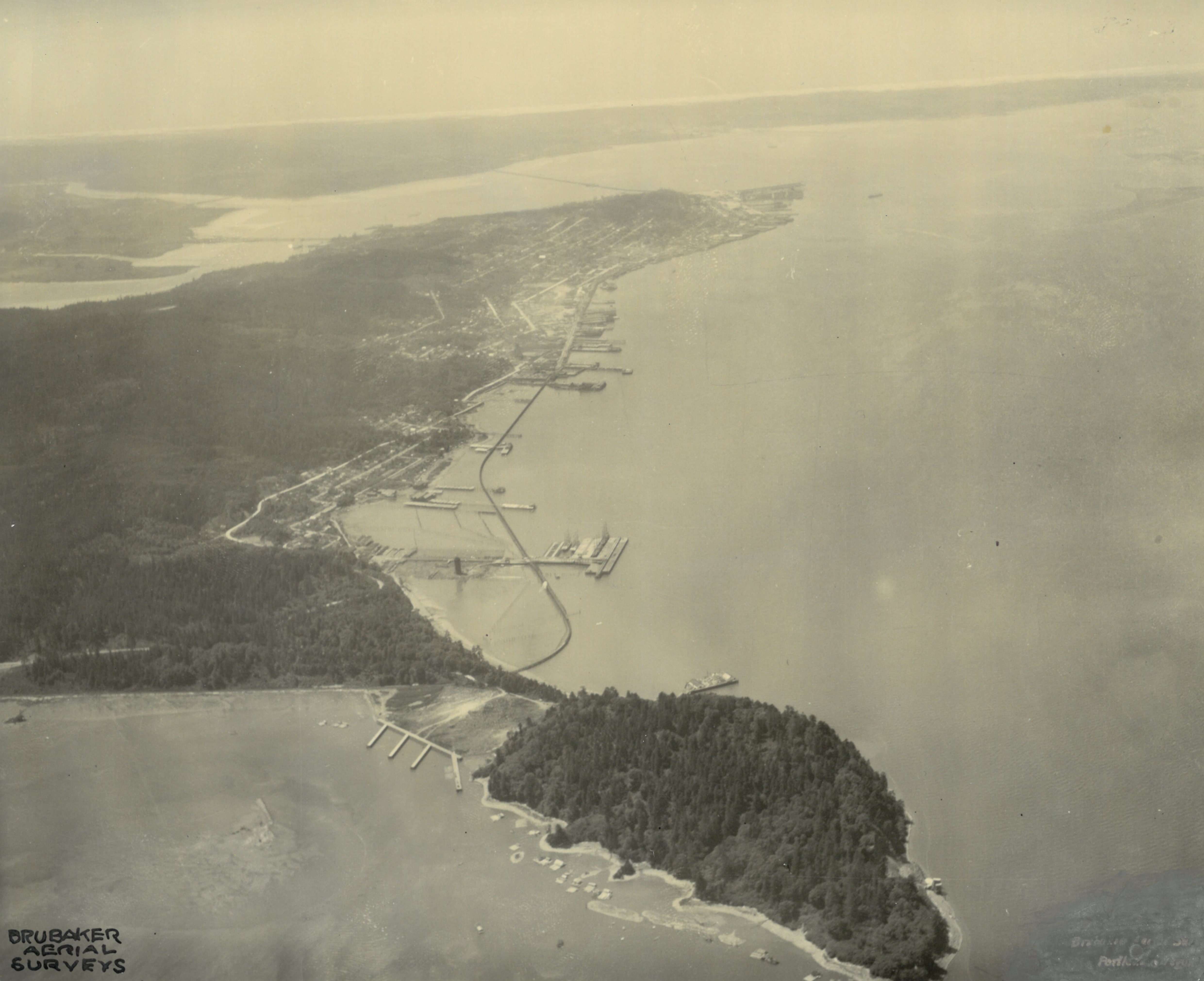
![]()
Long view of Fort Stevens, near Hammond, 1938.
Courtesy Oregon Hist. Soc. Research Lib., 52546
-
![]()
Hammond's Astoria line.
Courtesy Oregon Hist. Soc. Research Lib., Seattle, Portland, Spokane Coll., photo by Kiser
-
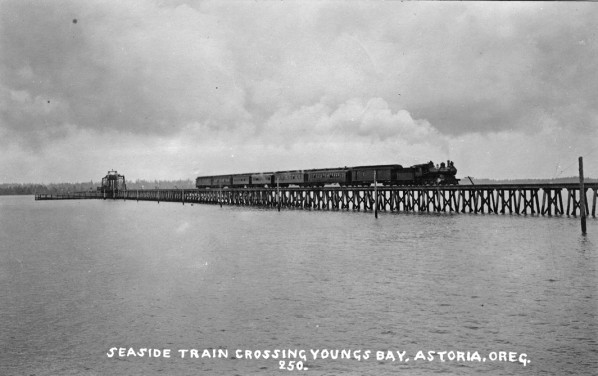
![]()
Seattle, Portland, and Spokane Railway train to Seaside.
Courtesy Oregon Hist. Soc. Research Lib., 28280


Related Entries
-
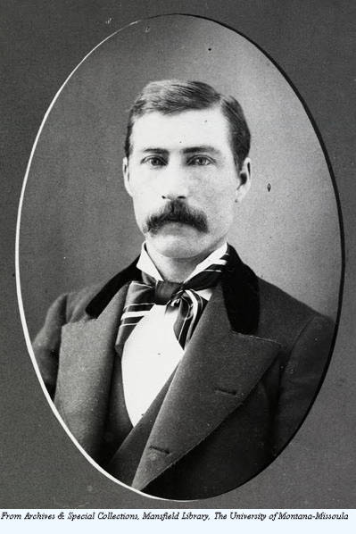
![Andrew B. Hammond (1848-1934)]()
Andrew B. Hammond (1848-1934)
Sensing opportunity following the Panic of 1893, Montana businessman An…
-
![Astoria and Columbia River Railroad]()
Astoria and Columbia River Railroad
Ever since Astoria was founded at the mouth of the Columbia River in 18…
-
![Tongue Point Naval Air Station (Astoria)]()
Tongue Point Naval Air Station (Astoria)
Located some three-miles east of Astoria, Oregon, the Tongue Point Nava…
Related Historical Records
Map This on the Oregon History WayFinder
The Oregon History Wayfinder is an interactive map that identifies significant places, people, and events in Oregon history.
Further Reading
Engeman, Richard. The Oregon Companion: A Historical Gazetter of the Useful, the Curious, and the Arcane. Portland, Ore.: Timber Press, 2009.
Gordon, Greg. “Economic Phoenix: How A. B. Hammond Used the Depression of 1893 and a Pair of Defunct Oregon Railroads to Build a Lumber Empire." Oregon Historical Quarterly 109.4 (Winter 2008).
Gordon, Greg. When Money Grew on Trees: A. B. Hammond and the Age of the Timber Baron. Norman: University of Oklahoma Press, 2014.
Hammond Lumber Company files, Mss 1716, vol. 25, Oregon Historical Society, Portland, Oregon.
Scott, Leslie. “History of the Astoria Railroad." Oregon Historical Quarterly 15.4.