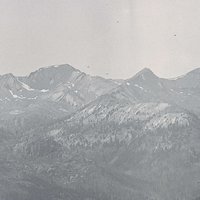
Early EuroAmericans traveling through north-central Oregon just east of the Deschutes River were amazed by how tall the rye grass was. When a small town was established there in the 1870s, founder Charles Rollins named it Grass Valley. “Grass so tall that it stood over a man’s head,” one early resettler said, “even when he was on a horse!” With a population of 149 in 2020, Grass Valley is twenty-seven miles south of the Columbia River, between the John Day and Deschutes Rivers. As in all communities in Sherman County, residents farmed wheat, but it was stock raising that became essential to the town’s economy.
For centuries, Warm Spring, Tenino, and Tygh people hunted game and gathered roots and berries between the Deschutes and John Day Rivers in what is now Sherman County. They also traded at Celilo Falls and fished for salmon. Today, their descendants are members of the Confederated Tribes of the Warm Springs.
The first EuroAmericans passed through the region in 1846, following the southern route of the Barlow Road cutoff on the Oregon Trail, just to the north of present-day Grass Valley. In 1878, Dr. Charles R. Rollins, one of the first white settlers in the area, built a hotel and clinic to serve ranchers and wheat farmers in the town. The post office was established in 1882, and the town was platted in 1891. The Eastern Oregon Land Company and Charles W. Moore owned most of the lots, and Moore was responsible for founding and developing the town’s newspaper, the Grass Valley Journal, and a telephone line to Rufus as part of the Sherman County Telegraph and Telephone Company. The town was incorporated on September 14, 1900.
The population of Grass Valley grew from 25 in 1888 to 342 in 1910, largely because of the arrival in town of the Columbia Southern Railroad in 1898. Farmers and ranchers transported wheat and cattle to the main railroad on the Columbia River. The construction of the Oregon Trunk Railroad on the Deschutes River in 1909 vitalized the town’s economy, as Grass Valley became a staging ground for building equipment and supplies and a home to railroad managers, engineers, and migrant workers. Temporary work camps housed immigrant workers from Italy, Sweden, and Balkan countries, and a temporary hospital was established to minister to injuries sustained while working on the railroad. The railroad was completed in 1911.
The town’s economic growth and population began to decline after 1920. The Columbia Southern Railroad quit passenger service in 1932 and abandoned the rail line in 1966. Hotels, cafes, and merchandise establishments lost business, and the town’s students attended school in nearby Moro when the Grass Valley high school closed in 1940; the elementary school closed in 2016.
In the twenty-first century, the primary businesses in Grass Valley provide services to local farmers and ranchers. Favorite meeting places include the Grass Valley City Park and the 1916 Old Pavilion, a community gathering place renovated in 2012 for meetings, bingo games, dances, and auctions. The Oregon Raceway Park, located just a few miles from Grass Valley, opened in 2008, with a 2.3-mile road course for competitive car-racing events. The raceway benefits the local economy and includes garages for racing instruction and training, food services, and shower facilities. Grass Valley is also a jumping-off place for cyclists and motorists to explore the Deschutes and John Day River Valleys, including access to fishing, hunting, boating, and hiking.
-
![]()
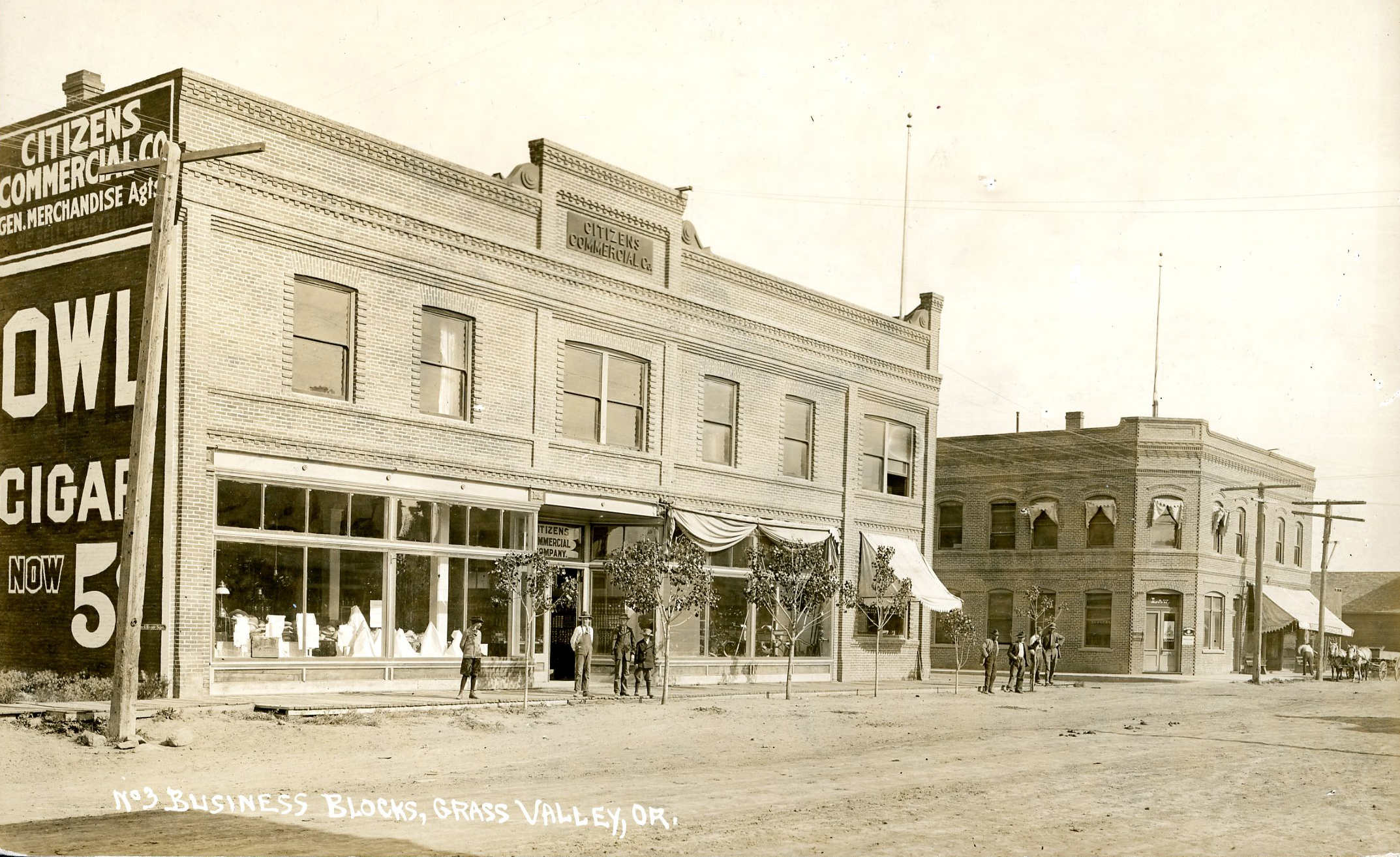
Grass Valley, downtown.
Oregon Historical Society Research Library, Oregon Journal, 51366, photo file 454
-
![]()
Grass Valley.
Oregon Historical Society Research Library, Oregon Journal, 50056, photo file 454
-
![]()
Main Street, Grass Valley.
Oregon Historical Society Research Library, Oregon Journal, 50054, photo file 454
-
![]()
Citizen's Bank, Grass Valley.
Oregon Historical Society Research Library, Oregon Journal, 50055, photo file 454
-
![]()
Grass Valley.
Oregon Historical Society Research Library, 6117, photo file 454


Related Entries
-
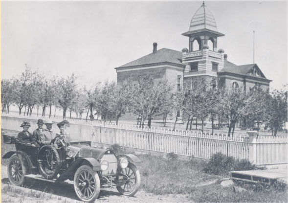
![Moro]()
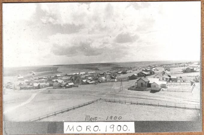
Moro
The town of Moro, the county seat of Sherman County, is located about e…
-
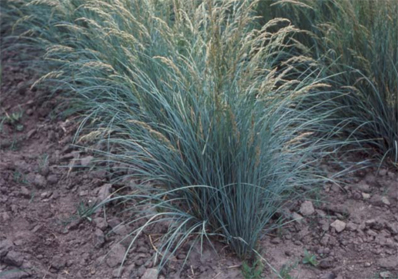
![Sherman Big Bluegrass]()
Sherman Big Bluegrass
Sherman Big Bluegrass (Poa secunda, formerly P. ampla) is a perennial b…
-
![Sherman County Courthouse]()
Sherman County Courthouse
The Sherman County Courthouse in Moro is one of only three county court…
-
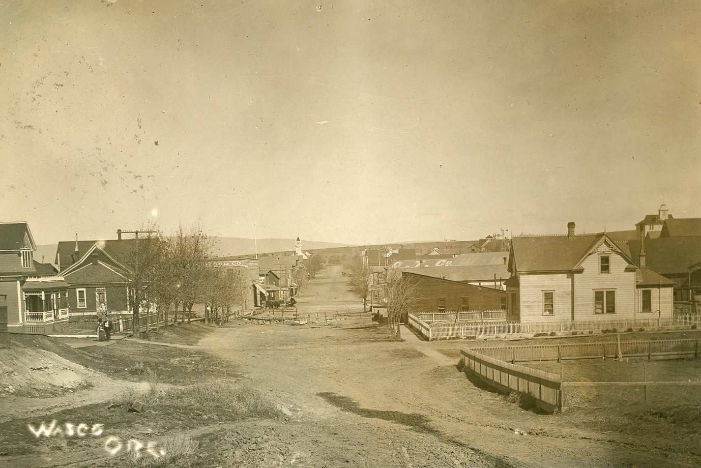
![Wasco]()
Wasco
Wheat farming, ranching, and wind turbines drive the economy of the sma…
Related Historical Records
Map This on the Oregon History WayFinder
The Oregon History Wayfinder is an interactive map that identifies significant places, people, and events in Oregon history.
Further Reading
Due, John F. and Giles French. Rails to the Mid-Columbia Southern and Great Southern Railroads and the Development of Sherman and Wasco Counties, Oregon. Washington, D.C.: University Press of America, Inc., 1979.
French, Giles. The Golden Land: A History of Sherman County, Oregon. Portland: Oregon Historical Society Press, 1958.