The approximately sixty-mile-long Applegate River is one of three northward-flowing main tributaries of the Rogue River (the others are the Illinois River to the west and Bear Creek to the east). Although the headwaters of the river's main stem, the Middle Fork, are nearly ten miles into Siskiyou County, California, on the northern slopes of the crest of the Siskiyou Mountains, most of its upper watershed lies within Jackson County. The lower portion of the river flows through Josephine County, where it joins the Rogue about five miles downstream from Grants Pass.
Named for Oregon pioneer Lindsay Applegate, who encountered the river during his 1848 trip south to the California goldfields, the Applegate River was subjected to intensive, large-scale placer gold mining from the 1850s to the 1890s. Mining and later irrigation withdrawals have adversely affected the stream's anadromous fishery, but the lower river still draws winter steelhead anglers. In 2008, efforts are underway to reduce barriers to fish passage and improve salmon-spawning habitat.
The Applegate Valley—long a sleepy, rural area located off the region's main travel routes—supported small farms, ranches, and sawmill communities until well after World War II. The mountainous watershed's occasional propensity for extreme high-volume flows and destructive winter floods led the Army Corps of Engineers to construct, in 1979-1981, the Applegate Dam as part of its Rogue Basin flood-control project. The scenic Applegate Valley's popularity has grown significantly since that time, with a steady influx of new residents building large homes on wooded ten-to-twenty-acre parcels and the development of vineyards and wineries.
-
![]()
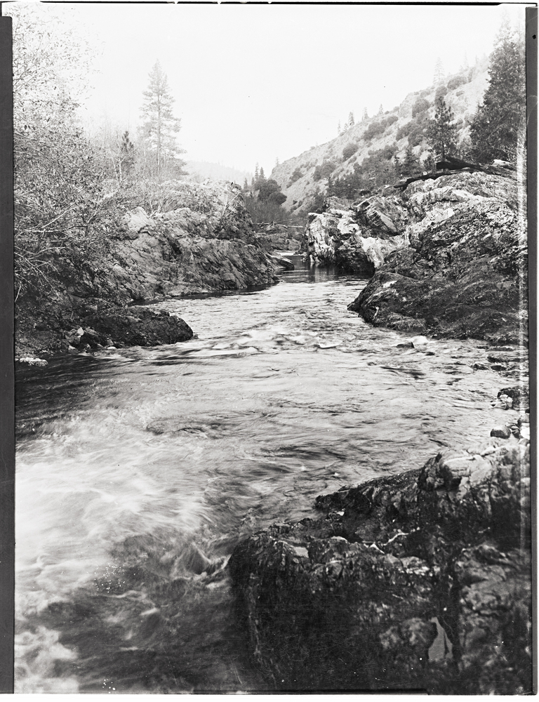
Applegate River.
Oregon Historical Society Research Library bb004179
-
![]()
Applegate Dam.
Photograph courtesy of the United States Forest Service

Related Entries
-
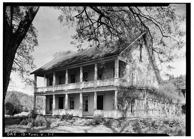
![Applegate House]()
Applegate House
The Charles and Melinda Applegate House in Yoncalla is the oldest known…
-
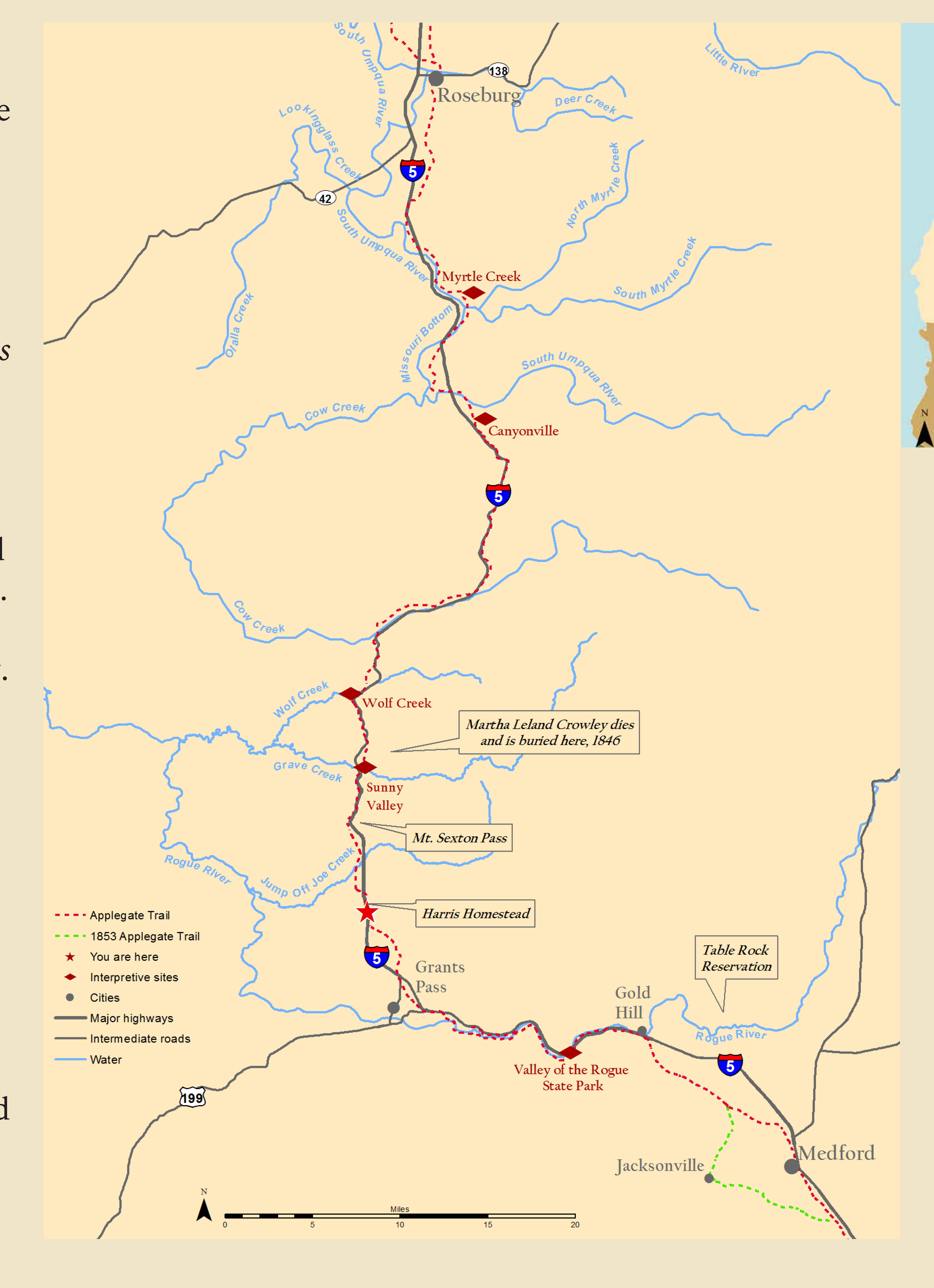
![Applegate Trail]()
Applegate Trail
The Applegate Trail, first laid out and used in 1846, was a southern al…
-
![Elmer Ivan Applegate (1867-1949)]()
Elmer Ivan Applegate (1867-1949)
Elmer Ivan Applegate was an important early Oregon botanist best known …
-
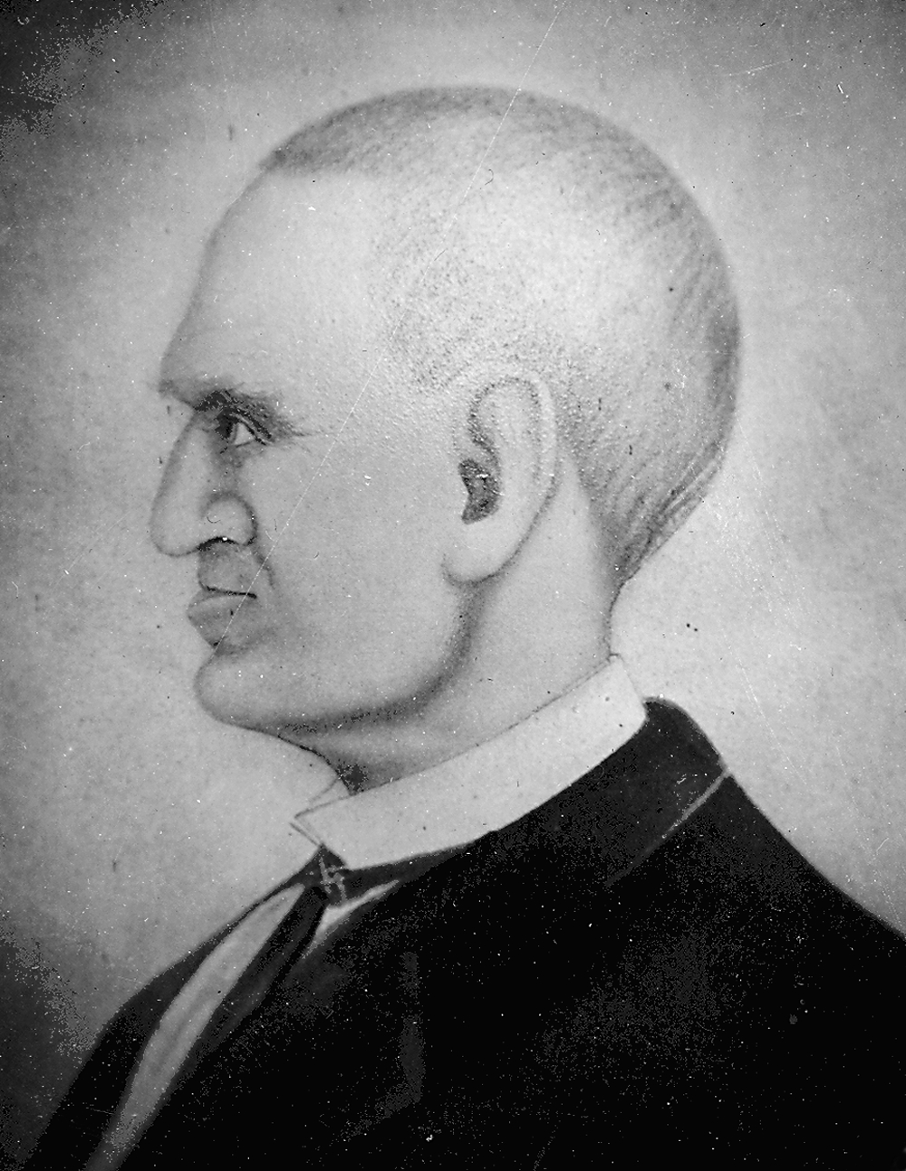
![Jesse Applegate (1811-1888)]()
Jesse Applegate (1811-1888)
Jesse Applegate, an influential early Oregon settler, is most remembere…

Related Historical Records
Map This on the Oregon History WayFinder
The Oregon History Wayfinder is an interactive map that identifies significant places, people, and events in Oregon history.
Further Reading
Black, John, and Marguerite Black. "Ruch and the Upper Applegate Valley: An Oregon Documentary." Medford, Ore.: Webb Research Group, 1990.
LaLande, Jeffrey M. "An Environmental History of the Little Applegate River Watershed, Jackson County, Oregon." Medford, Ore.: U.S. Dept. of Agriculture, Forest Service, Rogue River National Forest, 1995.
LaLande, Jeffrey M. Prehistory and History of the Rogue River National Forest: A Cultural Resource Overview. Medford, Ore.: U.S. Dept. of Agriculture, Forest Service, 1980.