
Newberry Crater, as it is commonly known, is a large shield volcano east of the Cascade Range in central Oregon. The area was named for Dr. John Strong Newberry, a naturalist with a U.S. Army expedition in 1857-1858 whose purpose was to survey railroad routes through the region. The over 50,000-acre area was designated a monument in 1990 and features a visitor's center showcasing and explaining the unique active lava lands. Over sixty miles of hiking trails wind through the monument, ranging from short roadside interpretive trails to the 21-mile Crater Rim trail.
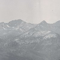
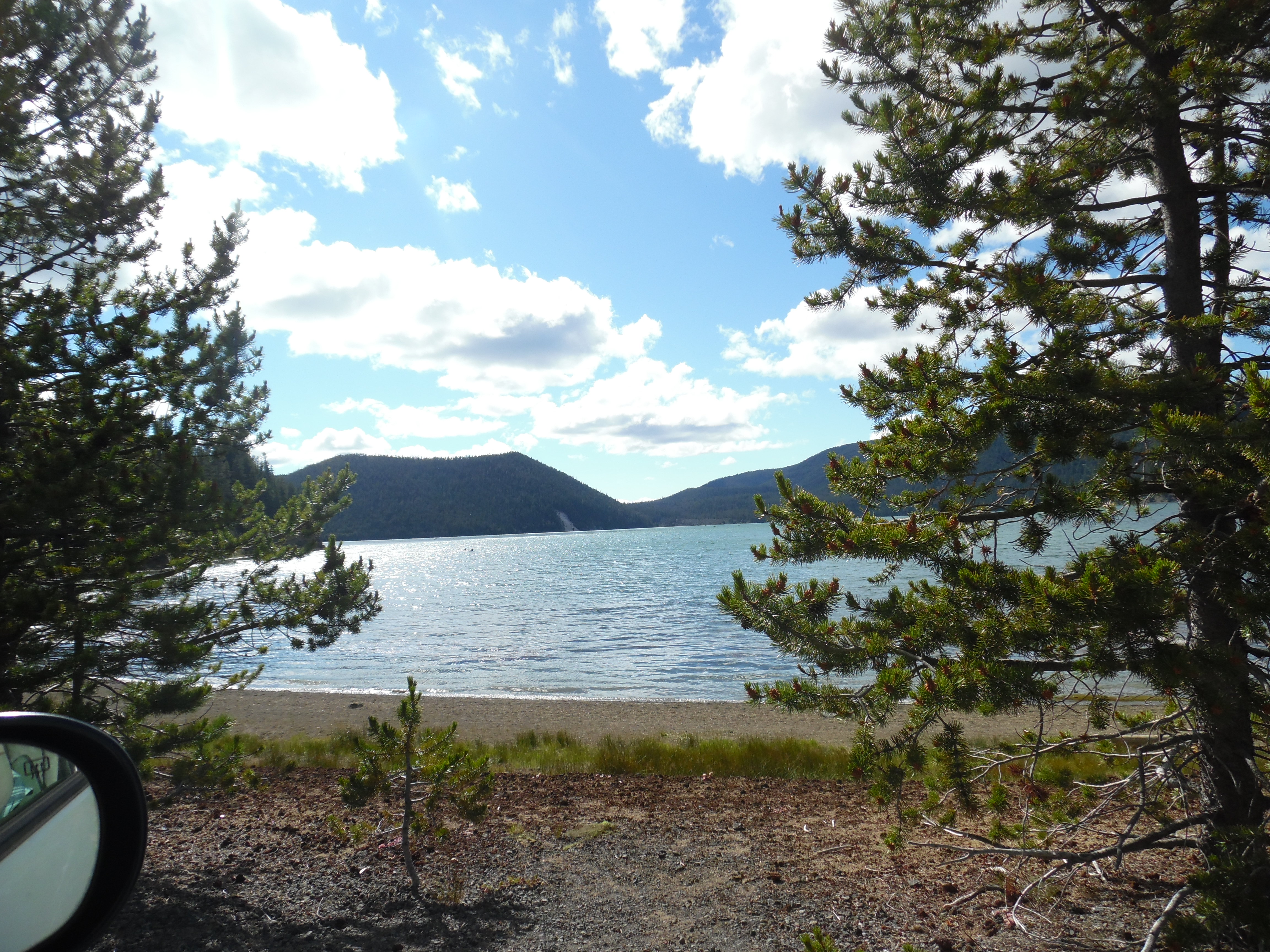
Shield volcanoes tend to be massive mounds comprised primarily of basalt, in contrast to the steep peaks of Oregon volcanoes such as Mount Hood or the Three Sisters. The Newberry Crater—more accurately, a caldera—was formed 500,000 years ago by the gradual collapse of the central portion of the 25-mile in diameter, 9,000-foot high mountain. The modern elevation of the 17-square-mile interior of the caldera averages around 6,400 feet, while its highest point, Paulina Peak, rises from its south rim to 7,984 feet. Walls reaching from 700 to 1,000 feet high enclose all but the western edge of the caldera, where Paulina Creek falls from Paulina Lake and drains into the Deschutes basin.
Following its collapse prior to the ice age, Newberry Volcano filled with a large lake before additional eruptions produced a central cinder cone and extensive obsidian flows within the caldera. Paulina Lake and East Lake now fill the lobes of the Newberry basin. The volcano has produced some 25 eruptions over the past 10,000 years. The most recent eruption, 1,300 years ago, created the Big Obsidian Flow within the southern extent of the caldera. Hot spots in East Lake indicate that an active magma pocket remains beneath that area of the volcano.
Beyond the rim of the caldera, Newberry Volcano features some 400 cinder cones and perhaps as many peripheral lava flows. Two interesting flank features associated with the volcano are the Lava Cast forest, where a rapid lava flow created tree and stump molds, and the Lava River Cave, an empty eruptive vent that visitors can tour.
Native Americans were drawn to the caldera as early as 10,000 years ago. Excavations of the Paulina Lake Site in 1992 uncovered the remains of a hearth that was enclosed on one side by charred, vertically set, Ponderosa pine fragments and on the other by a concentration of displaced rocks, suggestive of a small hut. Large projectile points and other stone tools consistent with that era were found in the vicinity of this archaeological feature. Some 7,700 years ago, the eruption of Mount Mazama that created Crater Lake, about seventy miles to the southwest, deposited almost half a meter of pumice and volcanic tephra within Newberry Caldera. The later East Lake Obsidian Flow and Big Obsidian flow eruptions drew Native Americans to the volcano floor in search of this valuable tool-making commodity.
At present, both Paulina and East lakes are stocked with trout and feature small rustic resorts in the monument’s lodgepole pine forests.
-
![]()
Newberry caldera, 2016.
Courtesy A.E. Platt
-
![]()
Newberry caldera, 2016.
Courtesy A.E. Platt
-
![]()
Paulina Falls, Newberry caldera, 2016.
Courtesy A.E. Platt
-
![]()
Paulina Falls, Newberry caldera, 2016.
Courtesy A.E. Platt
-
![]()
Lava Butte, Newberry Nat'l Volcanic Monument.
Courtesy A.E. Platt
-
![]()
Lava Butte, Newberry Nat'l Volcanic Monument.
Courtesy A.E. Platt
-
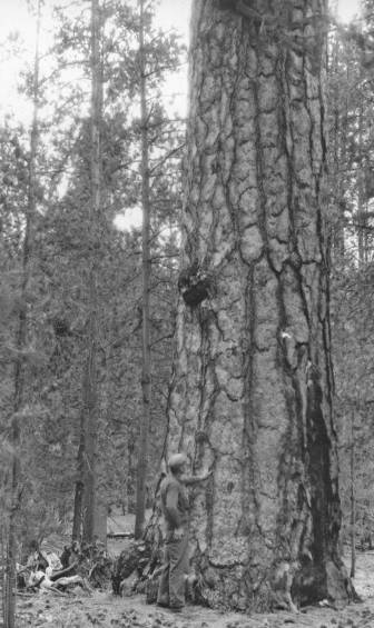
![]()
Tree mold in the Lava Cast Forest, Newberry Nat'l Volcanic Monument.
Courtesy A.E. Platt
-
![]()
Tree mold in the Lava Cast Forest, Newberry Nat'l Volcanic Monument.
Courtesy A.E. Platt
-
![]()
Lava Cast Forest Trail, 2016.
Courtesy A.E. Platt
-
![]()
Lava Cast Forest Trail, 2016.
Courtesy A.E. Platt


Related Entries
-
![Cascade Mountain Range in Oregon]()
Cascade Mountain Range in Oregon
The Cascade mountain system extends from northern California to central…
-
![High Desert]()
High Desert
Oregon’s High Desert is a place apart, an inescapable reality of physic…
-
![Ponderosa pine]()
Ponderosa pine
Ponderosa pine (Pinus ponderosa)—also known as yellow, western yellow, …
Related Historical Records
Map This on the Oregon History WayFinder
The Oregon History Wayfinder is an interactive map that identifies significant places, people, and events in Oregon history.
Further Reading
Alt, David B., and Donald W. Wyndham. Roadside Geology of Oregon. Missoula, Mont.: Mountain Press Publishing Co., 1978.
Connolly, Thomas J,, et al. Newberry Crater: A Ten Thousand Year Record of Human Occupation and Environmental Change. Salt Lake City: University of Utah Press, 1990.
McArthur, Lewis A., and Lewis L. MacArthur. Oregon Geograpahic Names (7th ed.). Portland: Oregon Historical Society Press, 2003.
Newberry National Volcanic Monument Deschutes National Forest website. http://www.fs.fed.us/r6/centraloregon/newberrynvm/index.shtml.