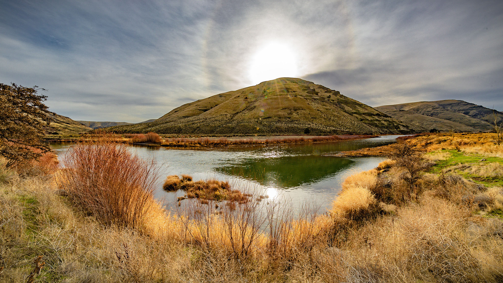
Arlington, about fifty miles east of The Dalles, is on the Columbia River at the mouth of Alkali Canyon. In the early 1870s, settlers established corrals at the mouth of the canyon to hold cattle and sheep waiting to be transported downriver.
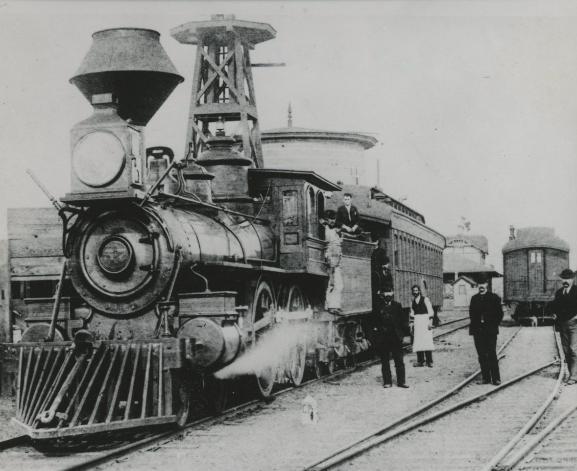
Elijah Rhea built the first house in Arlington in 1880, and the Oregon Railway & Navigation Company established a station there a year later. The town was platted in 1882 and named Alkali. It was the county seat of Gilliam County until, in the general election of 1890, voters chose to move the county seat to Condon.
Once the town began to grow, early residents felt it deserved a new name. There are two reported versions of how the name was changed to Arlington in 1885. It may have been named after lawyer Nathan Arlington Cornish, or residents from the Southern states may have named it after Arlington, Virginia, home of General Robert E. Lee.
In the early 1960s, when the John Day Dam was built, the U.S. Army Corps of Engineers relocated much of the town to higher ground. A new central business district was constructed on compacted fill on top of the original location. Homes and the grade school were rebuilt on the surrounding hills, and a new port and recreation facilities were built on the Columbia River. A ferry operated between Arlington and Roosevelt, Washington, until 1974.
Wheat, barley, and cattle are the main crops in the surrounding area of Gilliam County, but the largest employer in the area is the Columbia Ridge Landfill (owned and operated by Waste Management), located at Arlington. Municipal solid waste is transported from Seattle and Portland to the landfill, which is part of one of the largest networks of landfills in the industry.
Arlington is now at the intersection of Interstate 84 and Oregon Highway 19, and in 2020 the population was 628.
-
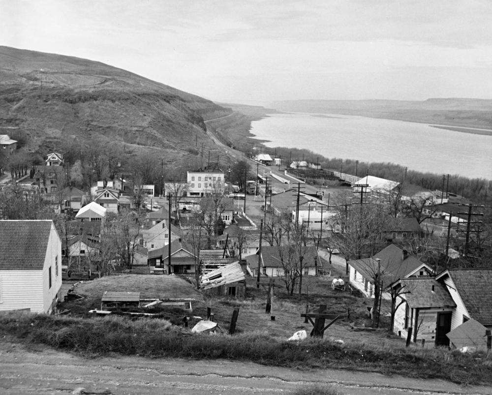
![]()
Arlington in the 1960s, before inundation.
Oregon Historical Society Research Library bc003623
-
![]()
Main Street, Arlington, Oregon.
Oregon Historical Society Research Library, bc003589
-
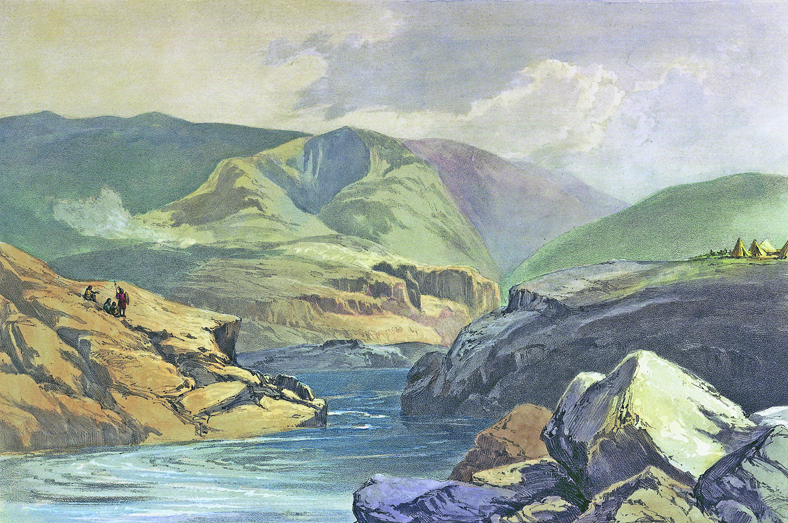
![]()
Arlington, Oregon, 1883.
Oregon Historical Society Research Library, bc003581


Related Entries
-
![Columbia River]()
Columbia River
The River For more than ten millennia, the Columbia River has been the…
-
![Doc Severinsen (1927- )]()
Doc Severinsen (1927- )
Carl H. "Doc" Severinsen's career began in the 1940s, and more than six…
-
![John Day River (north-central Oregon)]()
John Day River (north-central Oregon)
The 281-mile-long John Day River in north-central Oregon is the longest…
-
![Oregon Railway & Navigation Company]()
Oregon Railway & Navigation Company
Recognizing the opportunity to monopolize access to Oregon by the trans…

Related Historical Records
Map This on the Oregon History WayFinder
The Oregon History Wayfinder is an interactive map that identifies significant places, people, and events in Oregon history.
Further Reading
McArthur, Lewis L. Oregon Geographic Names. 6th ed. Portland: Oregon Historical Society Press, 1992.
Weatherford, Marion T. Arlington: Child of the Columbia. Portland: Oregon Historical Society, 1977.
"Gilliam County." Oregon Blue Book. https://sos.oregon.gov/blue-